Sibley in Adams County, Mississippi — The American South (East South Central)
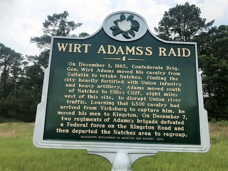
Wirt Adams's Raid
Erected 2014 by Mississippi Department of Archives and History.
Topics and series. This historical marker is listed in this topic list: War, US Civil. In addition, it is included in the Mississippi State Historical Marker Program series list. A significant historical date for this entry is December 1, 1863.
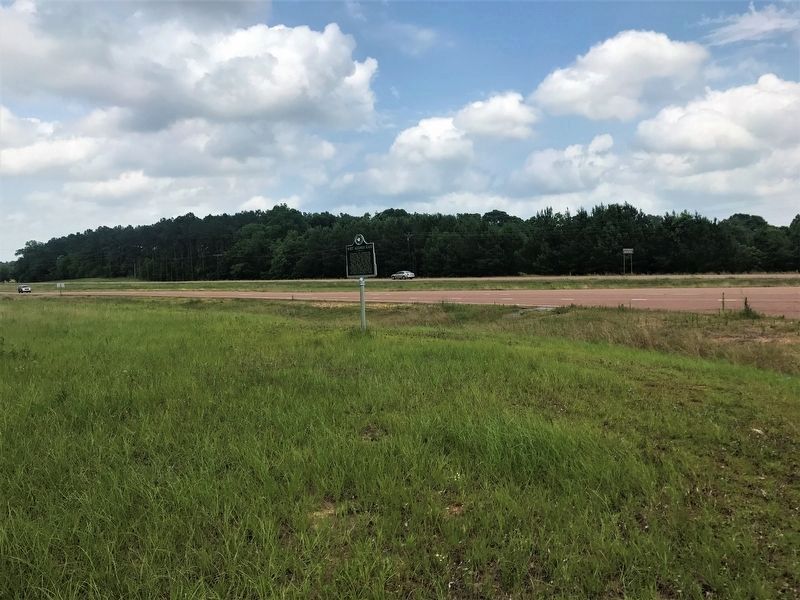
Location. 31° 23.453′ N, 91° 23.641′ W. Marker is in Sibley, Mississippi, in Adams County. Marker is at the intersection of U.S. 61 and Hutchins Landing Road, on the right when traveling south on U.S. 61. Touch for map. Marker is in this post office area: Sibley MS 39165, United States of America. Touch for directions.
Other nearby markers. At least 8 other markers are within 7 miles of this marker, measured as the crow flies. The Forest Plantation (approx. 5.3 miles away); Jersey Settlers (approx. 5.9 miles away); Kingston (approx. 6.6 miles away); a different marker also named Kingston (approx. 6.6 miles away); Kingston Methodist Church (approx. 6.8 miles away); In Memory of Samuel Swayze (approx. 6.8 miles away); a different marker also named Jersey Settlers (approx. 6.8 miles away); a different marker also named Kingston (approx. 6.8 miles away).
Credits. This page was last revised on May 28, 2017. It was originally submitted on May 28, 2017, by Cajun Scrambler of Assumption, Louisiana. This page has been viewed 400 times since then and 33 times this year. Photos: 1, 2. submitted on May 28, 2017.

