Kingston in Adams County, Mississippi — The American South (East South Central)
Jersey Settlers
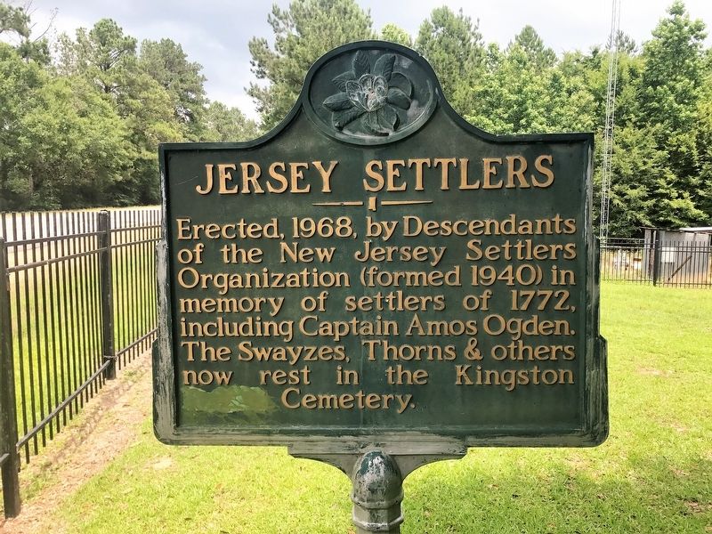
Photographed by Cajun Scrambler, May 27, 2017
1. Jersey Settlers Marker
Erected 1968.
Topics and series. This historical marker is listed in these topic lists: Cemeteries & Burial Sites • Settlements & Settlers. In addition, it is included in the Mississippi State Historical Marker Program series list. A significant historical year for this entry is 1965.
Location. 31° 23.194′ N, 91° 17.693′ W. Marker is in Kingston, Mississippi, in Adams County. It is on Hutchins Landing Road east of Brick Quarters River Road, on the right when traveling east. Touch for map. Marker is in this post office area: Natchez MS 39120, United States of America. Touch for directions.

Regionally, this marker is in Southwest Mississippi and in Natchez Trace Corridor. It is also in the American South, specifically in the Deep South, and in the Great River Road Region. Globally, it is in North America, a Gulf of Mexico state, the Western Hemisphere, the Western World, and the Anglosphere. Historically,
this page online
Other nearby markers. At least 8 other markers are within 8 miles of this marker, measured as the crow flies: Kingston Methodist Church (approx. one mile away); In Memory of Samuel Swayze (approx. one mile away); a different marker also named Jersey Settlers (approx. one mile away); Kingston (approx. one mile away); Wirt Adams's Raid (approx. 5.9 miles away); The Forest Plantation (approx. 7.3 miles away); Mt. Plain B.C. (approx. 7.9 miles away); a different marker also named Kingston (approx. 8 miles away). Touch for a list and map of all markers in Kingston.
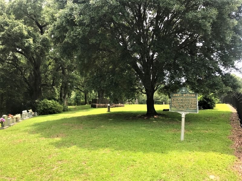
May 27, 2017
2. Jersey Settlers Marker
Credits. This page was last revised on April 25, 2025. It was originally submitted on May 29, 2017, by Cajun Scrambler of Assumption, Louisiana. This page has been viewed 830 times since then and 87 times this year. Photos: 1, 2. submitted on May 29, 2017.
