Blackfoot in Bingham County, Idaho — The American West (Mountains)
Three Buttes
Photographed by Michael Herrick, May 11, 2017
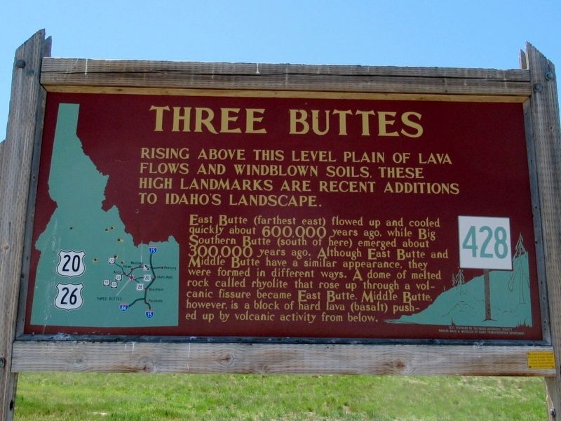
1. Three Buttes Marker
Rising above this level plain of lava flows and windblown soils these high landmarks are recent additions to Idaho’s landscape.
East Butte (farthest east) flowed up and cooled quickly about 600,000 years ago, while Big Southern Butte (south of here) emerged about 300,000 years ago. Although East Butte and Middle Butte have a similar appearance, they were formed in differetn ways. A dome of melted rock called rhyolite that rose up through a volcanic fissure became East Butte. Middle Butte, however, is a block of hard lava (basalt) pushed up by volcanic activity from below.
Erected by Idaho Historical Society & Idaho Transportation Department. (Marker Number 428.)
Topics and series. This historical marker is listed in this topic list: Natural Features. In addition, it is included in the Idaho State Historical Society series list.
Location. 43° 31.698′ N, 112° 42.836′ W. Marker is in Blackfoot, Idaho, in Bingham County. It is at the intersection of U.S. 20 and Twin Buttes Road, on the right when traveling east on U.S. 20. Touch for map. Marker is in this post
this page online

Regionally, this marker is in Eastern Idaho and the Yellowstone Fringe. It is also in the American Mountain West. Globally, it is in North America, the Western Hemisphere, the Western World, and the Anglosphere.
Other nearby markers. At least one other marker is within walking distance of this marker: Big Butte (a few steps from this marker).
Also see . . . Big Southern Butte on Wikipedia. (Submitted on May 29, 2017, by Michael Herrick of Southbury, Connecticut.)
Photographed by Michael Herrick, May 11, 2017
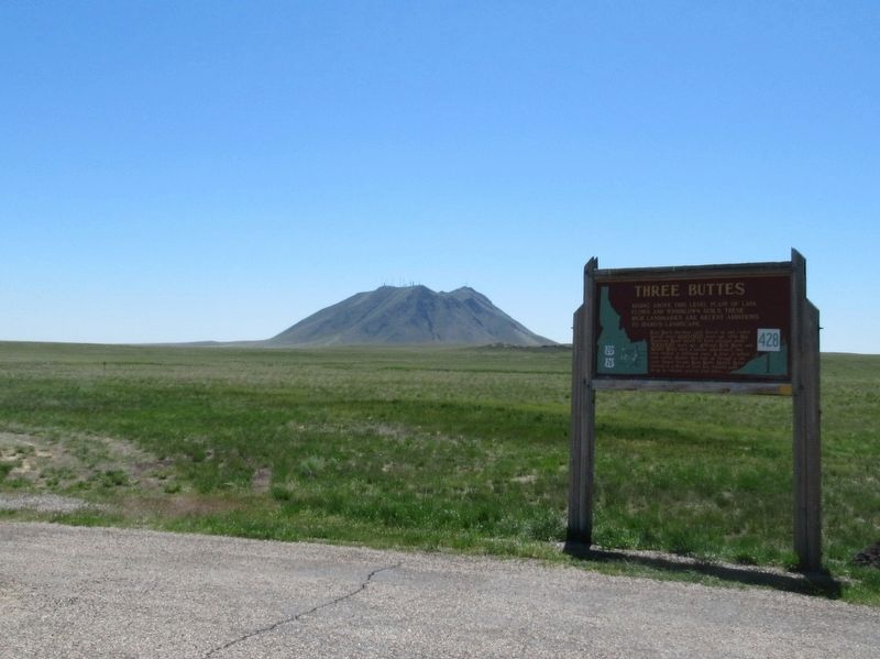
2. Three Buttes Marker
East Butte about 3-1/2 miles southeast of the marker.
Photographed by Michael Herrick, May 11, 2017
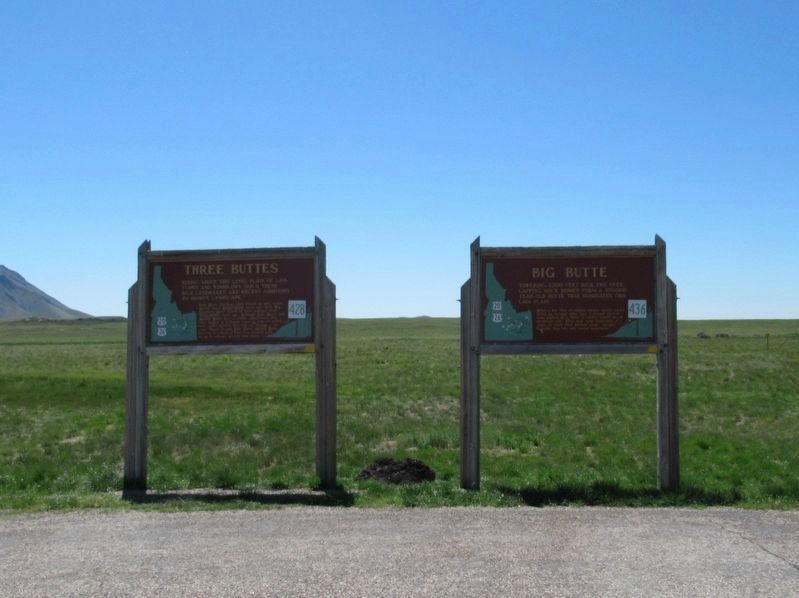
3. Three Buttes and Big Butte Markers
Photographed by Michael Herrick, May 11, 2017
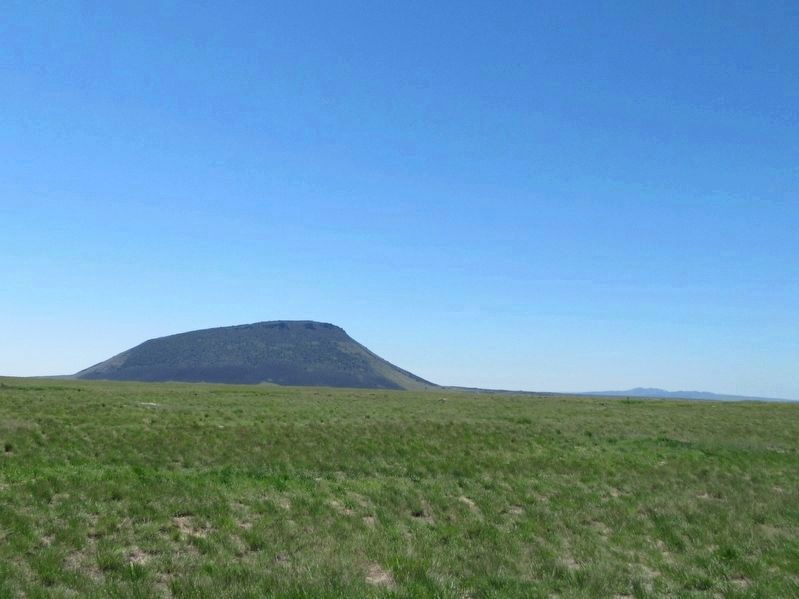
4. View From Three Buttes Marker
Middle Butte, about 4 miles south-southwest of the marker. On the horizon at the right is Big Southern Butte, about 30 miles southwest of the marker.
Credits. This page was last revised on December 28, 2024. It was originally submitted on May 29, 2017, by Michael Herrick of Southbury, Connecticut. This page has been viewed 9,451 times since then and 520 times this year. Photos: 1, 2, 3, 4. submitted on May 29, 2017, by Michael Herrick of Southbury, Connecticut.
