Hampton Roads Center , Virginia — The American South (Mid-Atlantic)
Battle of Big Bethel
Changing Landscape
Photographed by Bernard Fisher, May 28, 2017
1. Battle of Big Bethel Marker
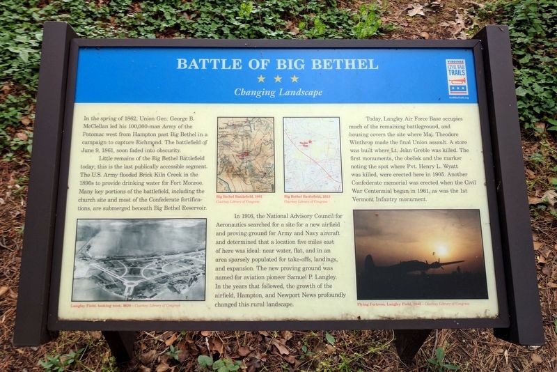
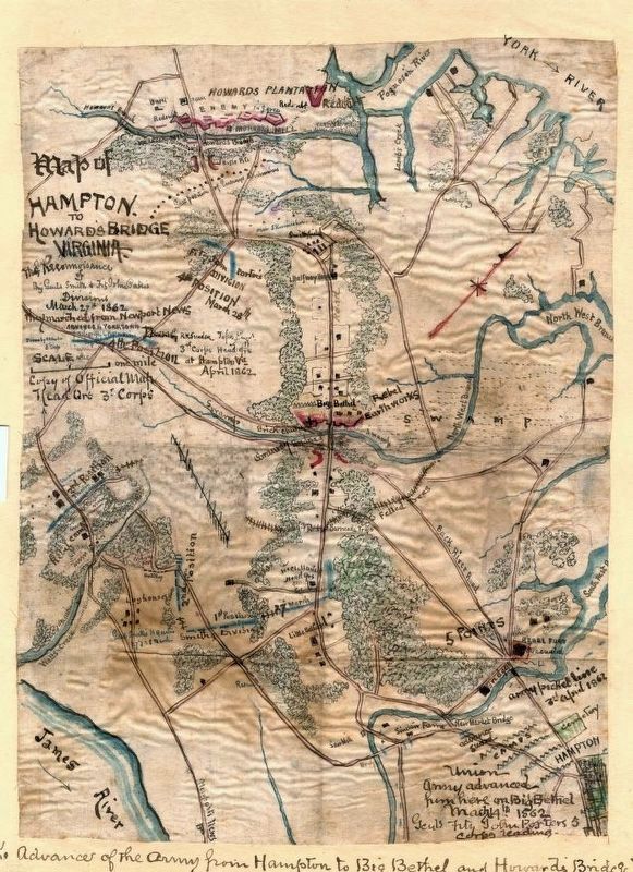
In the spring of 1862, Union Gen. George B. McClellan led his 100,000-man Army of the Potomac west from Hampton past Big Bethel in a campaign to capture Richmond. The battlefield of June 9, 1861, soon faded into obscurity.
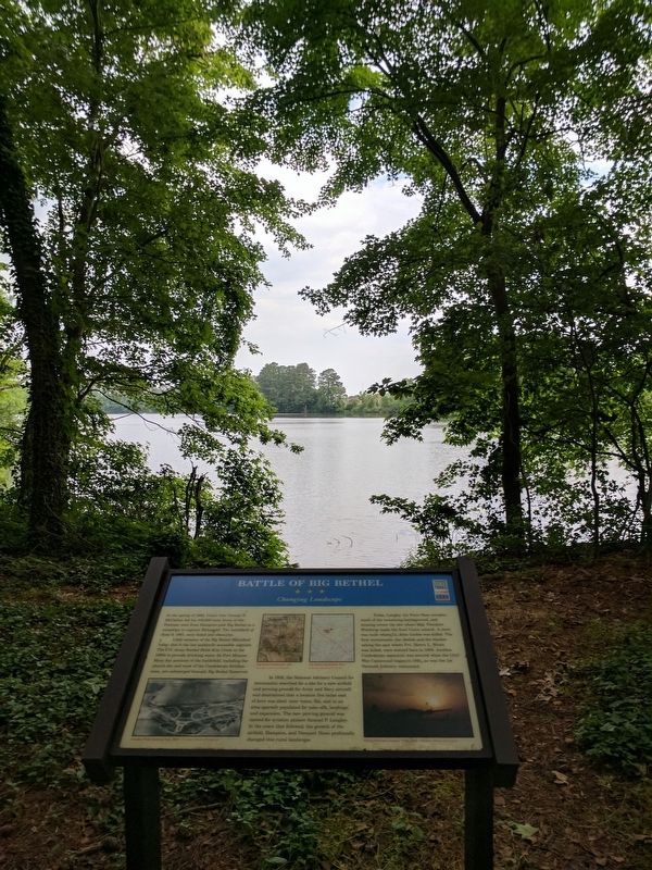
Little remains of the Big Bethel Battlefield today; this is the last publicly accessible segment. The U.S. Army flooded Brick Kiln Creek in the 1890s to provide drinking water for Fort Monroe. Many key portions of the battlefield, including the church site and most of the Confederate fortifications, are submerged beneath Big Bethel Reservoir.
In 1916, the National Advisory Council for Aeronautics searched for a site for a new airfield and proving ground for Army and Navy aircraft and determined that a location five miles east of here was ideal: near water, flat, and in an area sparsely populated for take-offs, landings, and expansion. The new proving ground was named for aviation pioneer Samuel P. Langley. In the years that followed, the growth of the airfield, Hampton, and Newport News profoundly changed this rural landscape.
Today, Langley Air Force Base occupies much of the remaining battleground,
this page online
(captions)
Langley Field, looking west, 1920 – Courtesy Library of Congress
Big Bethel Battlefield, 1861 Courtesy Library of Congress
Big Bethel Battlefield, 2013 Courtesy Library of Congress
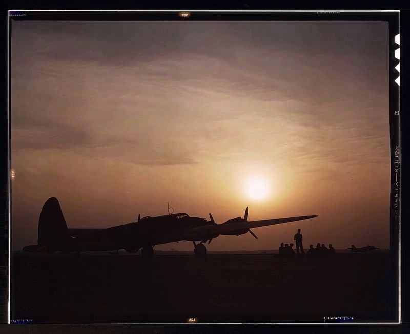
Flying Fortress, Langley Field, 1942 – Courtesy Library of Congress
Erected 2016 by Virginia Civil War Trails. (Marker Number 5.)
Topics and series. This historical marker is listed in this topic list: War, US Civil. In addition, it is included in the Virginia Civil War Trails series list. A significant historical date for this entry is June 9, 1861.
Location. 37° 5.507′ N, 76° 25.567′ W. Marker is in Hampton, Virginia. It is in Hampton Roads Center. It can be reached from Big Bethel Road (Virginia Route 600) 0.1 miles north of Semple Farm Road,
Photographed by Robert Knox Sneden, circa 1862
2. Map of Hampton to Howard's Bridge, Virginia.
Library of Congress

Regionally, this marker is on Virginia’s Peninsula and in Coastal Virginia. It is also in the American South, specifically in the Upper South, in the Tidewater, and on the Eastern Seaboard. Globally, it is in the North Atlantic Region, North America, the Western Hemisphere, the Western World, and the Anglosphere. Historically, it finds itself in what was once the territory of the Mississippian Culture, one of the original Thirteen Colonies, one of the Confederate States of America, and the Antebellum South.
Other nearby markers. At least 8 other markers are within walking distance of this marker: A different marker also named Battle of Big Bethel (a few steps from this marker); a different marker also named Battle of Big Bethel (a few steps from this marker); a different marker also named Battle of Big Bethel (within shouting distance of this marker); a different marker also named Battle of Big Bethel (within shouting distance of this marker);
Photographed by Alfred T. Palmer, July 1942
3. Sunset silhouette of flying fortress, Langley Field, Va.
Library of Congress LC-DIG-fsac-1a35090
Photographed by Bernard Fisher, May 28, 2017
4. Battle of Big Bethel Marker
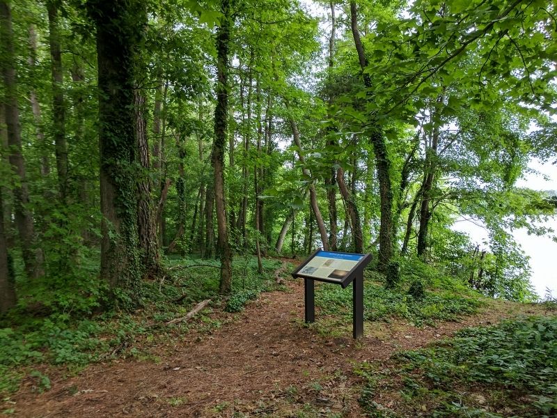
Photographed by Bernard Fisher, May 28, 2017
5. Battle of Big Bethel Marker
Credits. This page was last revised on February 1, 2023. It was originally submitted on May 29, 2017, by Bernard Fisher of Richmond, Virginia. This page has been viewed 1,873 times since then and 135 times this year. Photos: 1. submitted on May 29, 2017, by Bernard Fisher of Richmond, Virginia. 2, 3. submitted on May 30, 2017. 4, 5. submitted on May 29, 2017, by Bernard Fisher of Richmond, Virginia.
