
Harford in Susquehanna County, Pennsylvania — The American Northeast (Mid-Atlantic)
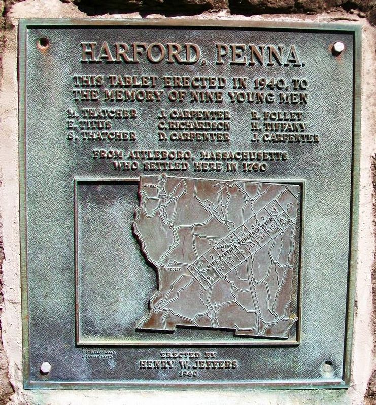
Harford, Penna.
Photographed by William Fischer, Jr., May 15, 2017
1. Harford, Penna. Marker
the memory of nine young men
M. Thatcher • J. Carpenter • R. Follet
E. Titus • C. Richardson • H. Tiffany
S. Thatcher • D. Carpenter • J. Carpenter
from Attleboro, Massachusetts
who settled here in 1790
Erected 1940 by Henry W. Jeffers.
Topics. This historical marker is listed in these topic lists: Cemeteries & Burial Sites • Settlements & Settlers. A significant historical year for this entry is 1940.
Location. 41° 46.796′ N, 75° 42.07′ W. Marker is in Harford, Pennsylvania, in Susquehanna County. It is at the intersection of Main Street (Pennsylvania Route 547) and School Street, on the left when traveling south on Main Street. Touch for map. Marker is at or near this postal address: Harford Cemetery, Harford PA 18823, United States of America. Touch for directions.

Regionally, this marker is in Pennsylvania’s Wyoming Valley. It is also in the American Northeast, in the Mid-Atlantic, in Appalachia, and specifically in Northern Appalachia. Globally, it is in North America, the Western Hemisphere, the Western World, and the Anglosphere. Historically, it finds
this page online
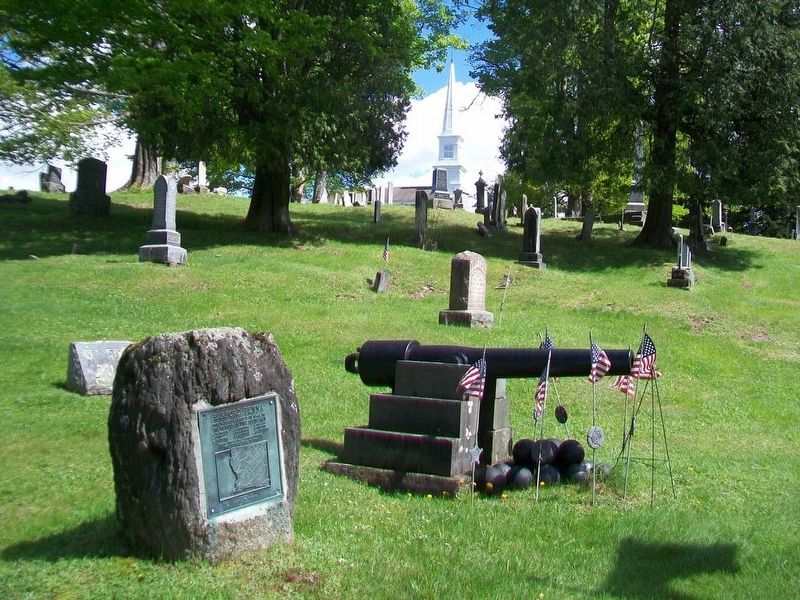
Other nearby markers. At least 8 other markers are within 4 miles of this marker, measured as the crow flies: Civil War Memorial (here, next to this marker); Galusha Grow (a few steps from this marker); Original Congregational Bell (about 400 feet away, measured in a direct line); Nine Partners Monument (approx. 0.2 miles away); Susquehanna County Liberty Tree (approx. 1.2 miles away); Soldiers Orphan School (approx. 1.3 miles away); a different marker also named Galusha Grow (approx. 2.9 miles away); Martins Creek Viaduct (approx. 4 miles away). Touch for a list and map of all markers in Harford.
Also see . . . An Early History of Harford Township. (Submitted on May 29, 2017, by William Fischer, Jr. of Reynoldsburg, Ohio.)
Photographed by William Fischer, Jr., May 15, 2017
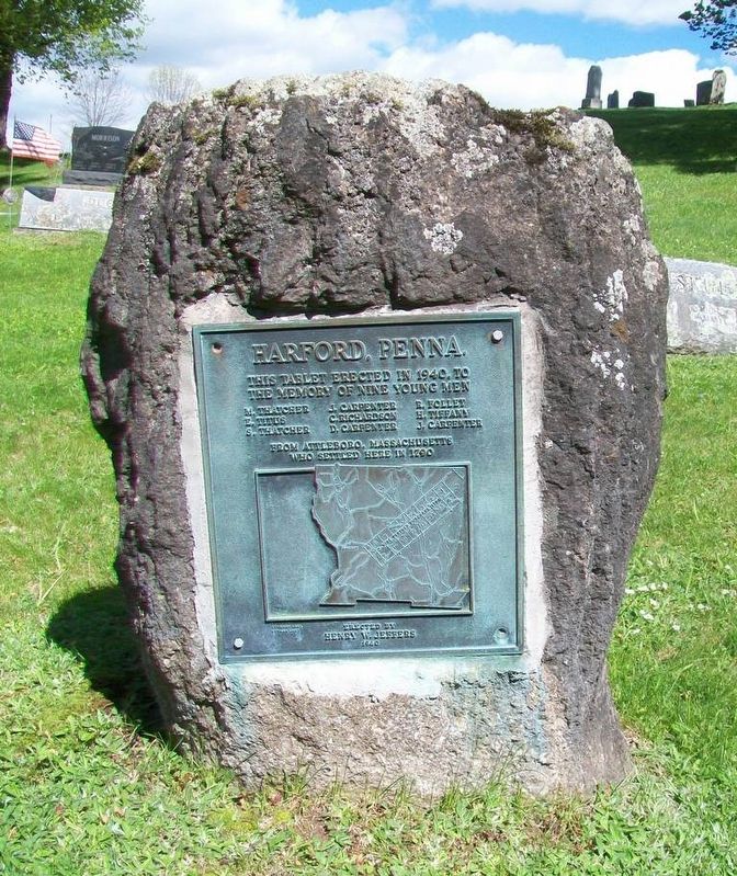
2. Harford, Penna. Marker
Photographed by William Fischer, Jr., May 15, 2017
3. Harford, Penna. Marker
Credits. This page was last revised on May 29, 2017. It was originally submitted on May 29, 2017, by William Fischer, Jr. of Reynoldsburg, Ohio. This page has been viewed 272 times since then and 12 times this year. Photos: 1, 2, 3. submitted on May 29, 2017, by William Fischer, Jr. of Reynoldsburg, Ohio.
