Natchez in Adams County, Mississippi — The American South (East South Central)
The Forest Plantation
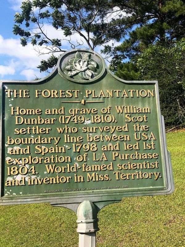
Photographed by Cajun Scrambler, May 26, 2017
1. The Forest Plantation Marker
Erected 1985 by Mississippi Department of Archives and History.
Topics and series. This historical marker is listed in these topic lists: Colonial Era • Exploration • Settlements & Settlers. In addition, it is included in the Mississippi State Historical Marker Program series list.
Location. 31° 27.933′ N, 91° 22.6′ W. Marker is in Natchez, Mississippi, in Adams County. It is on U.S. 61 south of Forest Plantation Road, on the right when traveling north. Touch for map. Marker is in this post office area: Natchez MS 39120, United States of America. Touch for directions.

Regionally, this marker is in Southwest Mississippi and in Natchez Trace Corridor. It is also in the American South, specifically in the Deep South, and in the Great River Road Region. Globally, it is in North America, a Gulf of Mexico state, the Western Hemisphere,
this page online
Other nearby markers. At least 8 other markers are within 4 miles of this marker, measured as the crow flies: Kingston (approx. 1.3 miles away); a different marker also named Kingston (approx. 1.3 miles away); Judith Sargent Murray (approx. 3.3 miles away); St. Catherine Creek (approx. 4 miles away); Conflict with the French (approx. 4 miles away); Historic Use of Ceremonial Mounds (approx. 4 miles away); Three Archaeological Excavations (approx. 4 miles away); Historical Archaeology - the Chief's House and Temple (approx. 4 miles away). Touch for a list and map of all markers in Natchez.
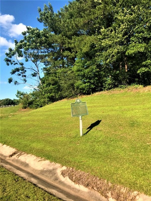
Photographed by Cajun Scrambler, May 26, 2017
2. The Forest Plantation Marker
Credits. This page was last revised on January 26, 2024. It was originally submitted on May 29, 2017, by Cajun Scrambler of Assumption, Louisiana. This page has been viewed 2,339 times since then and 195 times this year. Photos: 1, 2. submitted on May 29, 2017.
