Near Utica in Hinds County, Mississippi — The American South (East South Central)
To The Railroad
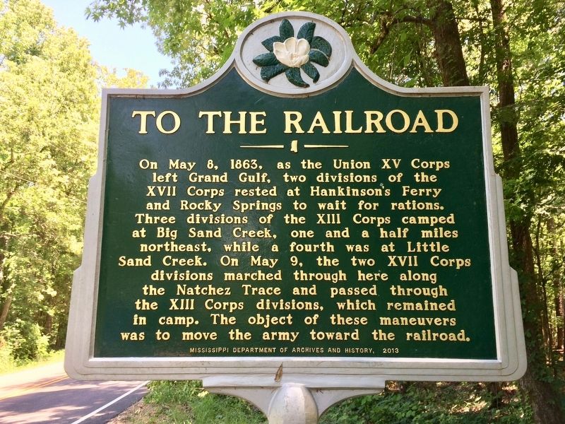
Photographed by Mark Hilton, May 26, 2017
1. To The Railroad Marker
Erected 2013 by the Mississippi Department of Archives and History.
Topics and series. This historical marker is listed in these topic lists: Railroads & Streetcars • War, US Civil. In addition, it is included in the Mississippi State Historical Marker Program series list. A significant historical date for this entry is May 8, 1863.
Location. 32° 5.976′ N, 90° 47.561′ W. Marker is near Utica, Mississippi, in Hinds County. It is on Old Port Gibson Road south of Midway Road, on the right when traveling north. Touch for map. Marker is at or near this postal address: Old Port Gibson Road, Utica MS 39175, United States of
this page online

Regionally, this marker is in Natchez Trace Corridor and in Greater Jackson. It is also in the American South and specifically in the Deep South. Globally, it is in North America, a Gulf of Mexico state, the Western Hemisphere, the Western World, and the Anglosphere. Historically, it finds itself in what was once the territory of the Mississippian Culture, one of the Confederate States of America, and the Antebellum South.
Other nearby markers. At least 8 other markers are within 6 miles of this marker, measured as the crow flies: The Old Natchez Trace (approx. 1.2 miles away); Rocky Springs (approx. 1.2 miles away); The Town of Rocky Springs (approx. 1.4 miles away); Federals Occupy Rocky Springs (approx. 1.4 miles away); Concentration of Troops (approx. 1½ miles away); Owens Creek (approx. 3.3 miles away); Historic Crossroads (approx. 3.9 miles away); Lower Choctaw Boundary (approx. 5.2 miles away). Touch for a list and map of all markers in Utica.
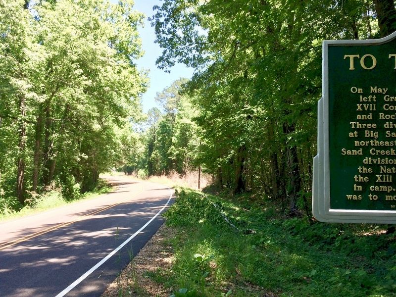
Photographed by Mark Hilton, May 26, 2017
2. View looking north on Old Port Gibson Road (Grant's March).
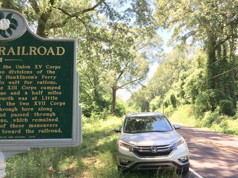
Photographed by Mark Hilton, May 26, 2017
3. View looking south on Old Port Gibson Road.
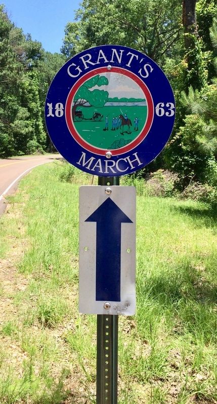
Photographed by Mark Hilton, May 26, 2017
4. Grant's 1863 March road marker.
Credits. This page was last revised on November 11, 2018. It was originally submitted on May 29, 2017, by Mark Hilton of Montgomery, Alabama. This page has been viewed 482 times since then and 45 times this year. Photos: 1, 2, 3, 4. submitted on May 29, 2017, by Mark Hilton of Montgomery, Alabama.
