Guanajuato, Mexico — The Central Highlands (North America)
Tepetapa Bridge
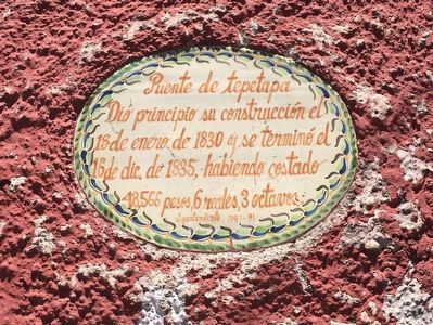
Dió principio su construcción el
18 de enero de 1830 y se terminó el
16 de dic. de 1835, habiendo costado
48,566 pesos, 6 reales, 3 octavos.
Ayuntamiento 1989-91
Its construction was begun on January 18, 1830
and it was completed on December 16, 1835,
having cost 48,566 pesos, 6 reales and 3 octavos.
City Council of 1989-91
Erected 1989 by Ayuntamiento de Guanajuato 1989-91.
Topics. This historical marker is listed in these topic lists: Bridges & Viaducts • Man-Made Features. A significant historical date for this entry is January 18, 1830.
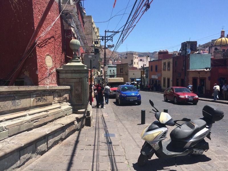
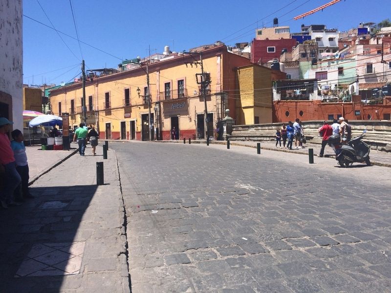
Location. 21° 1.182′ N, 101° 15.692′ W. Marker is in Guanajuato. Marker is on Calle Tepetapa, 0.1 kilometers west of Calle de Papmi, on the right when traveling west. The marker is just to the right before crossing the bridge when traveling west. Touch for map. Marker is in this post office area: Guanajuato 36000, Mexico. Touch for directions.
Other nearby markers. At least 8 other markers are within walking distance of this marker. 125 Years of Water as a Public Service (about 120 meters away, measured in a direct line); Rafael López (about 210 meters away); a different marker also named Rafael López (about 210 meters away); 200 Years of the Consummation of Mexican Independence (approx. 0.4 kilometers away); Lieutenant José Francisco Valenzuela (approx. 0.4 kilometers away); Casimiro Chowell J. (approx. 0.4 kilometers away); The Hidalgo Market (approx. 0.4 kilometers away); The Cemetery of the Convent of the Temple of Bethlehem (approx. 0.4 kilometers away). Touch for a list and map of all markers in Guanajuato.
Photographed By J. Makali Bruton, April 2, 2017
2. Additional Tepetapa Bridge Marker
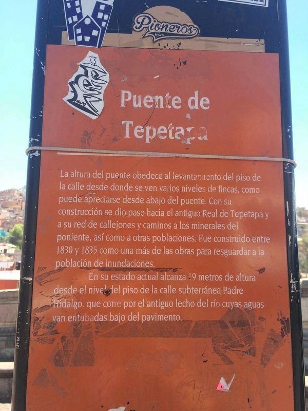
This additional, two-sided bilingual marker is across the bridge from the featured marker. It reads:
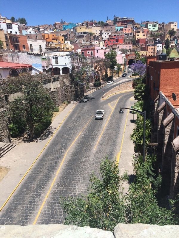
Puente de Tepetapa La altura del puente obedece al levantamiento del piso de la calle desde donde se ven varios niveles de fincas, como puede apreciarse desde abajo del puente. Con su construcción se dio paso hacia el antiguo Real de Tepetapa y a su red de callejones y caminos a los minerales del poniente, así como a otras poblaciones. Fue construido entre 1830 y 1835 como una más de las obras para resguardar a la población de inundaciones.
En su estado actual alcanza 19 metros de altura desde el nivel del piso de la calle subterránea Padre Hidalgo, que corre por el antiguo lecho del río cuyas aguas van entubadas bajo el pavimento.
En su estado actual alcanza 19 metros de altura desde el nivel del piso de la calle subterránea Padre Hidalgo, que corre por el antiguo lecho del río cuyas aguas van entubadas bajo el pavimento.
Photographed By J. Makali Bruton, April 2, 2017
3. An additional Tepetapa Bridge Marker
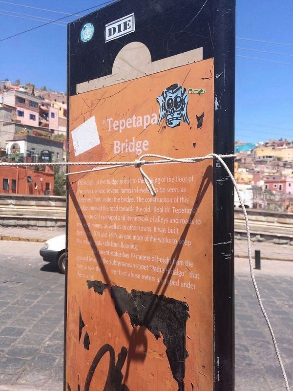
The English side of an additional marker about the Tepetapa Bridge. It reads:
Tepetapa Bridge The height of the bridge is due to the raising of the floor of the street, where several farms in levels can be seen, as observed from the bridge. The construction of this bridge opened the road towards the old “Real de Tepetapa” (mine site of Tepetapa) and its network of alleys and roads to the west mines, as well as to other towns. It was built between 1830 and 1835, as one more of the works to keep the inhabitants safe from flooding.
Its current status has 19 meters of height from the ground level of the subterranean street “Padre Hidalgo”, that runs across the old river bed whose waters are piped under the paving.
Its current status has 19 meters of height from the ground level of the subterranean street “Padre Hidalgo”, that runs across the old river bed whose waters are piped under the paving.
Credits. This page was last revised on June 28, 2017. It was originally submitted on May 29, 2017, by J. Makali Bruton of Accra, Ghana. This page has been viewed 259 times since then and 30 times this year. Photos: 1. submitted on May 29, 2017, by J. Makali Bruton of Accra, Ghana. 2, 3. submitted on May 31, 2017, by J. Makali Bruton of Accra, Ghana. 4, 5, 6. submitted on May 29, 2017, by J. Makali Bruton of Accra, Ghana.
