Rexburg in Madison County, Idaho — The American West (Mountains)
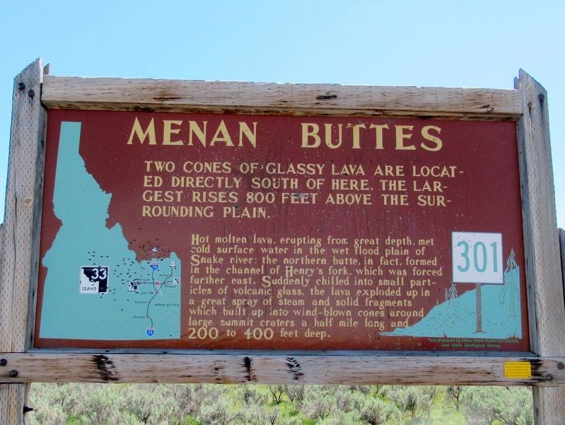
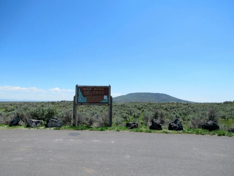
Menan Buttes
Photographed by Michael Herrick, May 11, 2017
1. Menan Buttes Marker
Hot molten lava, erupting from great depth, met cold surface water in the wet flood plain of Snake river: the northern butte, in fact, formed in the channel of Henry’s fork, which was forced further east. Suddenly chilled into small particles of volcanic glass, the lava exploded up in a great spray of steam and solid fragments which built up into wind-blown cones around large summit craters a half mile long and 200 to 400 feet deep.
Erected by Idaho Historical Society & Idaho Transportation Department. (Marker Number 301.)
Topics and series. This historical marker is listed in this topic list: Natural Features. In addition, it is included in the Idaho State Historical Society series list.
Location. 43° 49.596′ N, 111° 58.108′ W. Marker is in Rexburg, Idaho, in Madison County. It is on State Highway 33 1½ miles east of Butte Road, on the right when traveling east. Touch for map. Marker is in this post office area: Sugar City ID 83448,
this page online

Regionally, this marker is in Eastern Idaho and the Yellowstone Fringe. It is also in the American Mountain West. Globally, it is in North America, the Rocky Mountains, the Western Hemisphere, the Western World, and the Anglosphere.
Other nearby markers. At least 8 other markers are within 9 miles of this marker, measured as the crow flies: Beaver Dick (approx. 3.1 miles away); North Fork Ferry (approx. 3.1 miles away); Jenny Leigh Pioneer Cemetery (approx. 4 miles away); Burton (approx. 5.9 miles away); "Annie's Place" Annis (approx. 7 miles away); Pooles Island - Menan (approx. 7.4 miles away); Pioneers of Plano (approx. 7½ miles away); Rexburg Public Square (approx. 8.8 miles away). Touch for a list and map of all markers in Rexburg.
Also see . . . Menan Buttes on Wikipedia. (Submitted on May 30, 2017, by Michael Herrick of Southbury, Connecticut.)
Photographed by Michael Herrick, May 11, 2017
2. Menan Buttes Marker
Credits. This page was last revised on May 30, 2017. It was originally submitted on May 30, 2017, by Michael Herrick of Southbury, Connecticut. This page has been viewed 897 times since then and 45 times this year. Photos: 1, 2. submitted on May 30, 2017, by Michael Herrick of Southbury, Connecticut.
