Lake City in Florence County, South Carolina — The American South (South Atlantic)
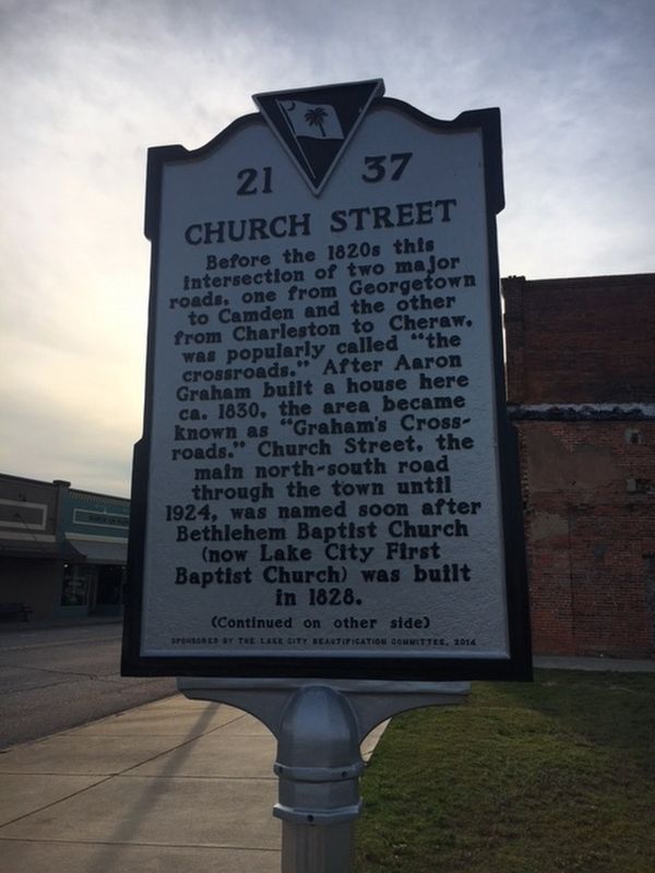
Church Street
⎯⎯⎯
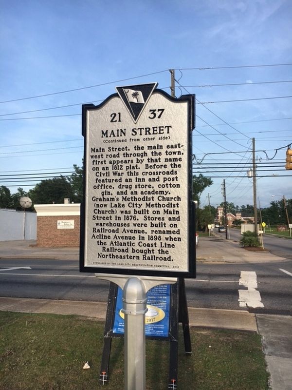
Main Street
Photographed by Jane Ruschky, May 29, 2017
1. Church Street/Main Street Marker
Church Street. Before the 1820s this intersection of two major roads, one from Georgetown to Camden and the other from Charleston to Cheraw, was popularly called "the crosswords." After Arron Graham built a house here ca. 1930, the area became known as "Graham's Crossroads." Church Street, the main north-south road through the town until 1924, was named soon after Bethlehem Baptist Church (now Lake City First Baptist Church) was built in 1828.
Main Street. Main Street, the main east-west road through the town, first appears by that name on an 1812 plat. Before the Civil War this crossroads featured an inn and post office, drug store, cotton gin, and an academy. Graham's Methodist Church (now Lake City Methodist Church) was built on Main Street in 1876. Stores and warehouses were built on Railroad Avenue, renamed Acline Avenue in 1898 when the Atlantic Coast Line Railroad bought the Northeastern Railroad.
Erected 2014 by South Carolina Department of Archives and History; sponsored by The Lake City Beautification Committee. (Marker Number 21-37.)
Topics. This historical marker is listed in these topic lists:
this page online
Location. 33° 52.303′ N, 79° 45.168′ W. Marker is in Lake City, South Carolina, in Florence County. It is at the intersection of North Church Street (Business U.S. 378) and East Main Street (State Highway 341), on the right when traveling south on North Church Street. Touch for map. Marker is in this post office area: Lake City SC 29560, United States of America. Touch for directions.

Regionally, this marker is in the Pee Dee. It is also in the American South and specifically in the Deep South. Globally, it is in North America, the Western Hemisphere, the Western World, and the Anglosphere. Historically, it finds itself in what was once the territory of the Mississippian Culture, one of the original Thirteen Colonies, one of the Confederate States of America, and the Antebellum South.
Other nearby markers. At least 8 other markers are within walking distance of this marker: Lake City (within shouting distance of this marker); a different marker also named Lake City (within shouting distance of this marker); 139 & 141 E. Main St.
Photographed by Jane Ruschky, May 29, 2017
2. Church Street/Main Street Marker
Photographed by Jane Ruschky, May 29, 2017
3. Church Street/Main Street Marker
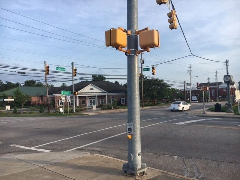
View of crossroads
Credits. This page was last revised on May 25, 2026. It was originally submitted on May 30, 2017, by Jane Ruschky of Columbia, South Carolina. This page has been viewed 548 times since then and 42 times this year. Photos: 1, 2, 3. submitted on May 30, 2017, by Jane Ruschky of Columbia, South Carolina. • Bernard Fisher was the editor who published this page.
