Marker Logo
THE HISTORICAL
MARKER DATABASE
“Bite-Size Bits of Local, National, and Global History”
Grand Gulf in Claiborne County, Mississippi — The American South (East South Central)
 

War Comes to Grand Gulf

Grand Gulf Historic Tour
 
 
War Comes to Grand Gulf Marker image. Click for full size.
Photographed by Mark Hilton, May 26, 2017
1. War Comes to Grand Gulf Marker
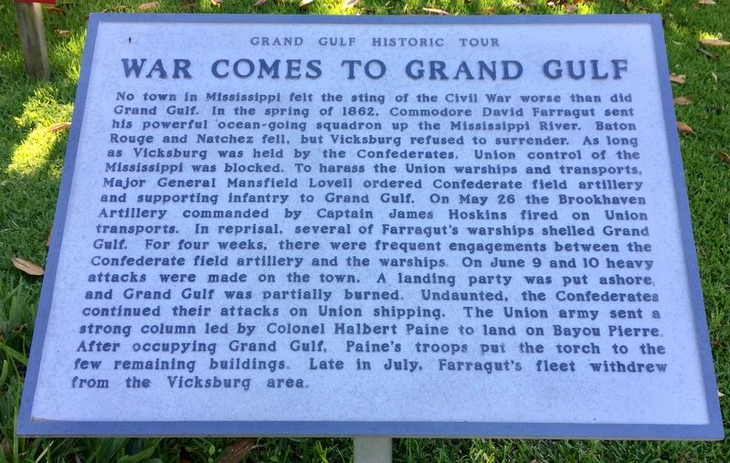
Inscription. No town in Mississippi felt the sting of the Civil War worse than did Grand Gulf. In the spring of 1862, Commodore David Farragut sent his powerful ocean-going squadron up the Mississippi River. Baton Rouge and Natchez fell, but Vicksburg refused to surrender. As long as Vicksburg was held by the Confederates. Union control of the Mississippi was blocked. To harass the Union warships and transports, Major General Mansfield Lovell ordered Confederate field artillery and supporting infantry to Grand Gulf. On May 26 the Brookhaven Artillery commanded by Captain James Hoskins fired on Union transports. In reprisal, several of Farragut's warships shelled Grand Gulf. For four weeks, there were frequent engagements between the Confederate field artillery and the warships. On June 9 and 10 heavy attacks were made on the town. A landing party was put ashore and Grand Gulf was partially burned. Undaunted, the Confederates continued their attacks on Union shipping. The Union army sent a strong column led by Colonel Halbert Paine to land on Bayou Pierre. After occupying Grand Gulf, Paine's troops put the torch to the few remaining
Paid Advertisement
Click or scan to see
this page online
buildings. Late in July, Farragut's fleet withdrew from the Vicksburg area.
 
Erected by the Grand Gulf Military Monument Commission.
 
Topics. This historical marker is listed in these topic lists: MilitaryWar, US Civil. A significant historical date for this entry is May 26, 1862.
 
Location. 32° 1.799′ N, 91° 3.19′ W. Marker is in Grand Gulf, Mississippi, in Claiborne County. It can be reached from the intersection of Grand Gulf Road and River Road. Touch for map. Marker is at or near this postal address: 12006 Grand Gulf Road, Port Gibson MS 39150, United States of America. Touch for directions.

Regionally, this marker is in Southwest Mississippi, in Natchez Trace Corridor, and in Greater Jackson. It is also in the American South, specifically in the Deep South, and in the Great River Road Region. Globally, it is in North America, a Gulf of Mexico state, the Western Hemisphere, the Western World, and the Anglosphere. Historically, it finds itself in what was once New Spain, the territory of the Mississippian Culture, one of the Confederate States of America, and the Antebellum South.

Other nearby markers. At least
War Comes to Grand Gulf Marker (right side) image. Click for full size.
Photographed by Mark Hilton, May 26, 2017
2. War Comes to Grand Gulf Marker (right side)
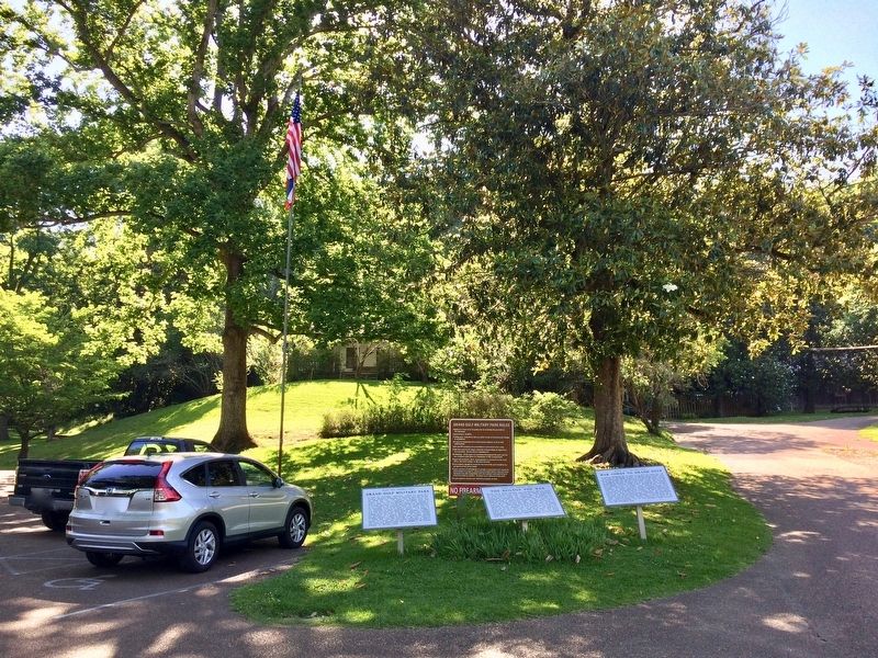
8 other markers are within walking distance of this marker: The Buildup for War (here, next to this marker); Grand Gulf Military Park (here, next to this marker); Scotia (about 300 feet away, measured in a direct line); Supporting Battery (about 300 feet away); Confederate Memorial Chapel (about 300 feet away); Rodney Sacred Heart Roman Catholic Church (about 300 feet away); a different marker also named Rodney Sacred Heart Roman Catholic Church (about 300 feet away); Water Wheel (about 300 feet away). Touch for a list and map of all markers in Grand Gulf.
 
Also see . . .  Wikipedia article on the Battle of Grand Gulf. (Submitted on May 30, 2017, by Mark Hilton of Montgomery, Alabama.)
 
Grand Gulf Military State Park entrance. image. Click for full size.
Photographed by Mark Hilton, May 26, 2017
3. Grand Gulf Military State Park entrance.
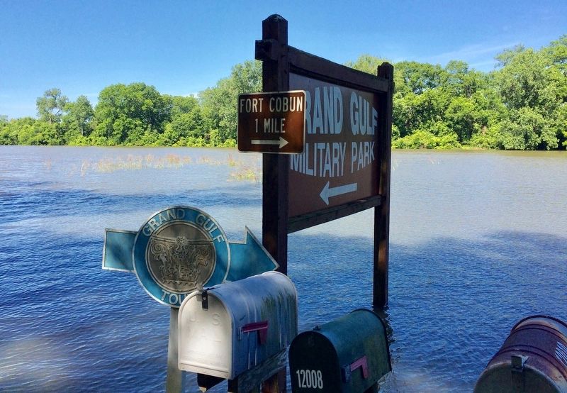
The water you can see is the overflow flood waters from the Mississippi River. The normal river flow is nearly a half mile from here. The road leading to Fort Cobun was also flooded.
The Grand Gulf Military Park museum. image. Click for full size.
Photographed by Mark Hilton, May 26, 2017
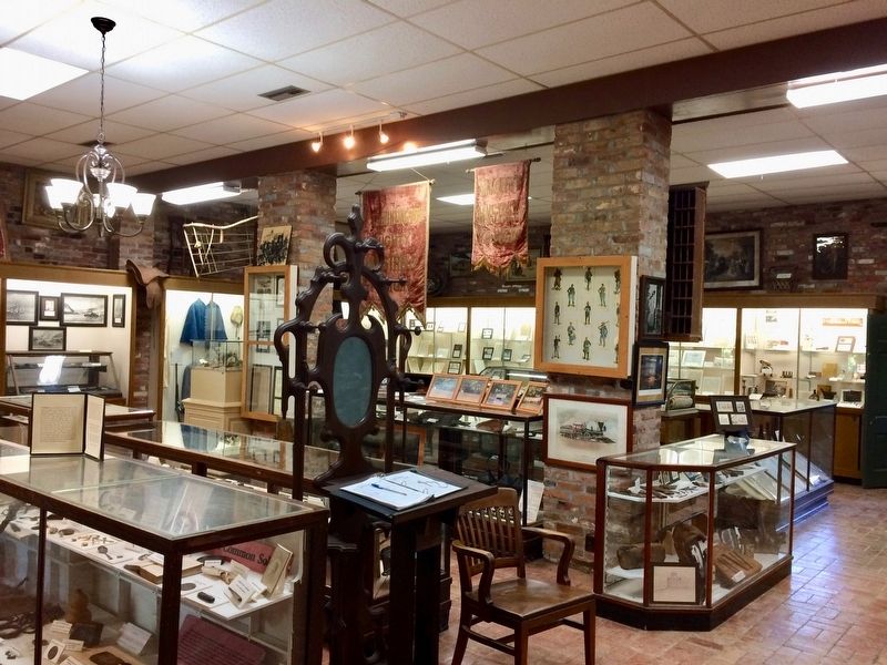
4. The Grand Gulf Military Park museum.
 
 
Credits. This page was last revised on September 29, 2020. It was originally submitted on May 30, 2017, by Mark Hilton of Montgomery, Alabama. This page has been viewed 539 times since then and 23 times this year. Photos:   1, 2, 3, 4. submitted on May 30, 2017, by Mark Hilton of Montgomery, Alabama.

m=103928

CeraNet Cloud Computing sponsors the Historical Marker Database.
This website earns income from purchases you make after using our links to Amazon.com. We appreciate your support.
Paid Advertisement
Aug. 1, 2026