Marker Logo
THE HISTORICAL
MARKER DATABASE
“Bite-Size Bits of Local, National, and Global History”
Vicksburg in Warren County, Mississippi — The American South (East South Central)
 

The Making of a City
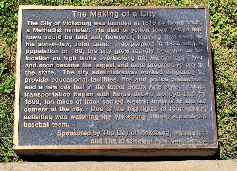
 
 
The Making of a City Marker image. Click for full size.
Photographed by Mark Hilton, May 25, 2017
1. The Making of a City Marker
Inscription. The City of Vicksburg was founded in 1819 by Newit Vick, a Methodist minister. He died of yellow fever before the town could be laid out, however, leaving that task to his son-in-law, John Lane. Incorporated in 1825 with a population of 180, the city grew rapidly because of its location on high bluffs overlooking the Mississippi River and soon became the largest and most progressive city in the state. The city administration worked diligently to provide educational facilities, fire and police protection, and a new city hall in the latest Beaux Arts style. Public transportation begin with horse-drawn trolleys and by 1899, ten miles of track carried electric trolleys to the far corners of the city. One of the highlights of recreational activities was watching the Vicksburg Billies, a semi-pro baseball team.
Sponsored by The City of Vicksburg, Mississippi and The Mississippi Arts Commission
 
Erected 2003 by the City of Vicksburg Riverfront Mural Committee.
 
Topics. This historical marker is listed in these topic lists: Settlements & SettlersSports. A significant historical year for this entry is 1819.
 
Location. 32° 21.033′ N,
Paid Advertisement
Click or scan to see
this page online
90° 53.052′ W. Marker is in Vicksburg, Mississippi, in Warren County. It is on Levee Street north of Clay Street, on the left when traveling north. The Vicksburg Riverfront Murals are located on the Yazoo Diversion Canal levee wall. Touch for map. Marker is at or near this postal address: Levee Street, Vicksburg MS 39183, United States of America. Touch for directions.

Regionally, this marker is in Natchez Trace Corridor and in Greater Jackson. It is also in the American South, specifically in the Deep South, in the Mississippi Delta, and in the Great River Road Region. Globally, it is in North America, a Gulf of Mexico state, the Western Hemisphere, the Western World, and the Anglosphere. Historically, it finds itself in what was once New Spain, the territory of the Mississippian Culture, one of the Confederate States of America, and the Antebellum South.

Other nearby markers. At least 8 other markers are within walking distance of this marker: Prehistoric Settlement in Warren County (here, next to this marker); Early Exploration - Fort Nogales (a few steps from this marker); The Selection of a President
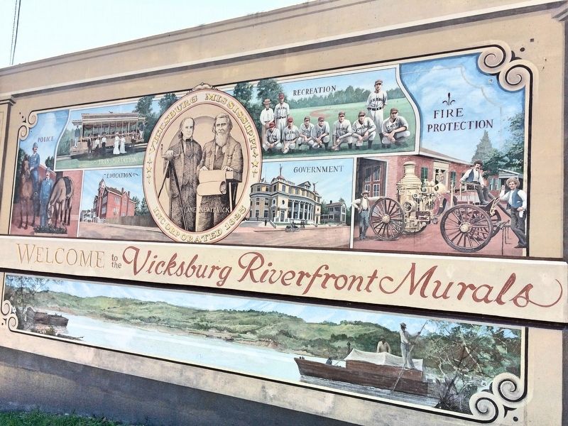
The Making of a City Mural image. Click for full size.
Photographed by Mark Hilton, May 25, 2017
2. The Making of a City Mural
(a few steps from this marker); "The War Between the States" (within shouting distance of this marker); The Sultana's Last Voyage (within shouting distance of this marker); Sisters of Mercy (within shouting distance of this marker); C.S.S. Arkansas (within shouting distance of this marker); The Steamer Sultana (within shouting distance of this marker). Touch for a list and map of all markers in Vicksburg.
 
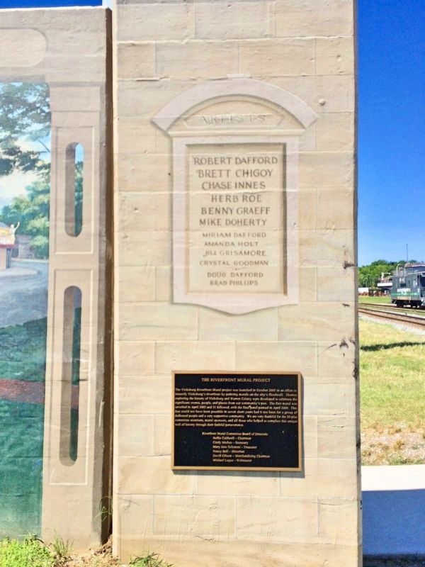
Dedication plaque and list of mural artists. image. Click for full size.
Photographed by Mark Hilton, May 25, 2017
3. Dedication plaque and list of mural artists.
 
 
Credits. This page was last revised on June 2, 2017. It was originally submitted on June 2, 2017, by Mark Hilton of Montgomery, Alabama. This page has been viewed 354 times since then and 20 times this year. Photos:   1, 2, 3. submitted on June 2, 2017, by Mark Hilton of Montgomery, Alabama.

m=104040

CeraNet Cloud Computing sponsors the Historical Marker Database.
This website earns income from purchases you make after using our links to Amazon.com. We appreciate your support.
Paid Advertisement
Jul. 6, 2026
