Lansing in Ingham County, Michigan — The American Midwest (Great Lakes)
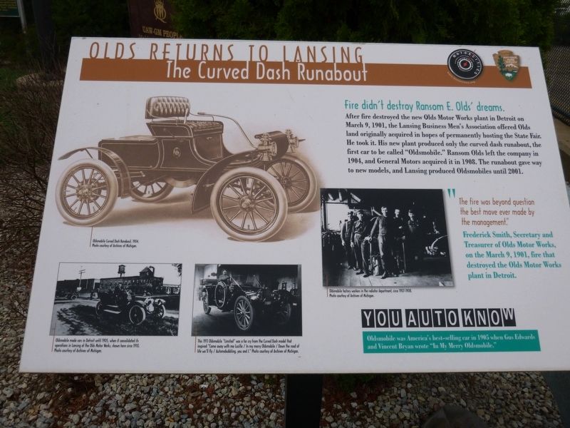
Olds Returns to Lansing
The Curved Dash Runabout
| — | Fire didn't destroy Ransom E. Olds' dreams | — |
Photographed by Bill Rieske, June 5, 2017
1. Olds Returns to Lansing Marker
Erected by Motorcities National Heritage Area, National Park Service.
Topics and series. This historical marker is listed in these topic lists: Industry & Commerce • Roads & Vehicles. In addition, it is included in the MotorCities National Heritage Area series list. A significant historical year for this entry is 1908.
Location. 42° 43.528′ N, 84° 33.433′ W. Marker is in Lansing, Michigan, in Ingham County. It is at the intersection of W. Malcolm X Street and S. Walnut Street, on the right when traveling east on W. Malcolm X Street. Touch for map. Marker is in this post office area: Lansing MI 48933, United States of America. Touch for directions.

Regionally,
this page online
Other nearby markers. At least 8 other markers are within walking distance of this marker: Woodbury-Kerns House (about 700 feet away, measured in a direct line); Cooley Gardens (about 800 feet away); Michigan Sheriffs' Association (approx. 0.2 miles away); Malcolm X (approx. 0.2 miles away); Scott Sunken Garden (approx. 0.2 miles away); Ransom Eli Olds (approx. 0.2 miles away); History of the Automobile in Lansing (approx. 0.2 miles away); History of Scott Park (approx. 0.2 miles away). Touch for a list and map of all markers in Lansing.
Photographed by Bill Rieske, June 5, 2017
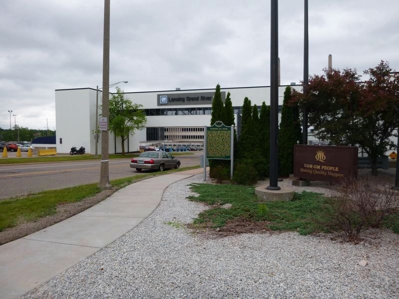
2. General Motors Grand River plant, the site of Oldsmobile assembly plant.
Photographed by Bill Rieske, June 5, 2017
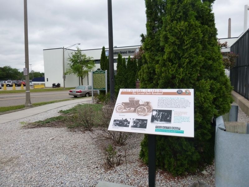
3. Olds Returns to Lansing Marker at GM
Credits. This page was last revised on November 23, 2019. It was originally submitted on June 6, 2017, by Bill Rieske of Lansing, Michigan. This page has been viewed 465 times since then and 26 times this year. Photos: 1, 2, 3. submitted on June 6, 2017, by Bill Rieske of Lansing, Michigan. • Bill Pfingsten was the editor who published this page.
