Veracruz, Mexico — The Gulf Coast (North America)
The Bastion of San Pedro
Photographed by J. Makali Bruton, March 23, 2017
1. The Bastion of San Pedro Marker
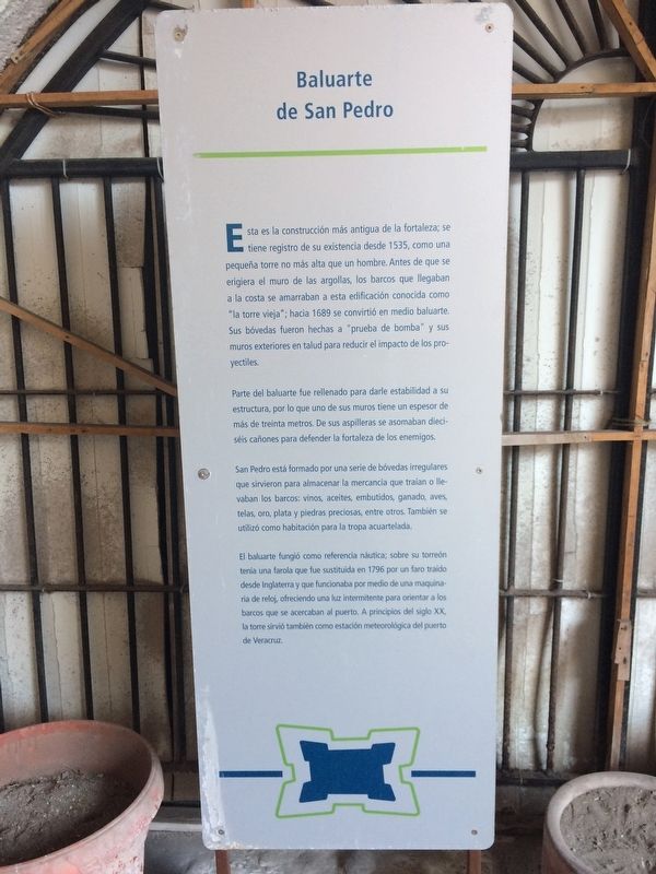
Parte del baluarte fue rellenado para darle estabilidad a su estructura, por lo que uno de sus muros tiene un espesor de más de treinta metros. De sus aspilleras se asomaban dieciséis cañones para defender la fortaleza de los enemigos.
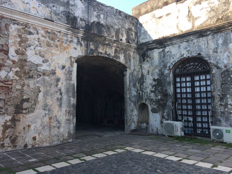
San Pedro está formado por una serie de bóvedas irregulares que sirvieron para almacenar la mercancía que traían o llevaban los barcos: vinos, aceites, embutidos, ganado, aves, telas, oro, plata y piedras preciosas, entre otros. También se utilizó como habitación para la tropa acuartelada.
El baluarte fungió como referencia náutica; sobre su torreón tenía una farola que fue sustituida en 1796 por un faro traido desde
this page online
English translation:
Part of the bulwark was filled to give stability to the structure, and for this reason one of its walls has a thickness of more than thirty meters. From its loopholes sixteen guns provided defense for the fortress from enemies.
San Pedro is formed by a series of irregular vaults that served to store the merchandise that ships brought or carried: wines, oils, sausages, livestock, birds, cloth, gold, silver and precious stones, among other materials
Photographed by J. Makali Bruton, March 23, 2017
2. The Bastion of San Pedro Marker
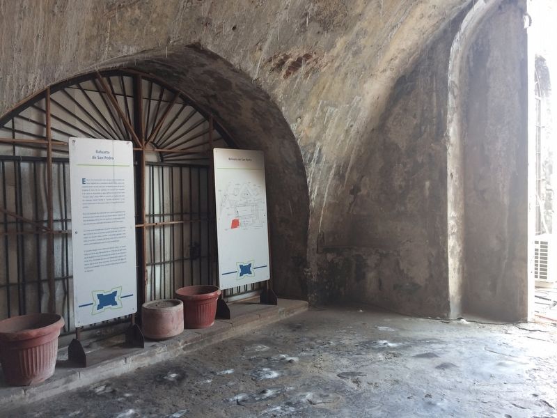
The marker is to the left, just inside one of the vaults of the bastion. To the right is a map of the Fort San Juan de Ulúa.
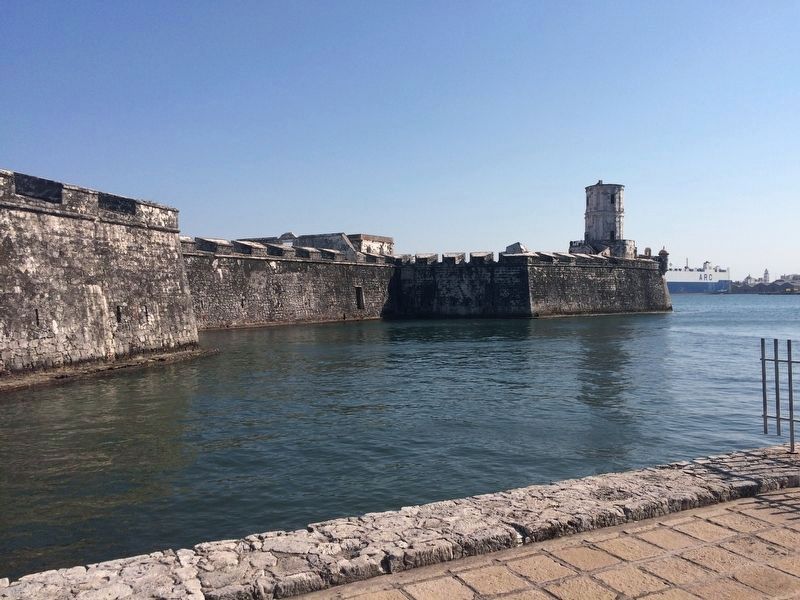
The bastion served also as a nautical reference. Its tower originally had a lamp that was replaced in 1796 by a light brought from England. This light worked by means of clock machinery, offering a flashing light to orient ships that were approaching the port. At the beginning of the 20th century, the tower also served as a meteorological station for the port of Veracruz.
Topics and series. This historical marker is listed in these topic lists: Colonial Era • Forts and Castles. In addition, it is included in the Lighthouses series list. A significant historical year for this entry is 1535.
Location. 19° 12.566′ N, 96° 7.923′ W. Marker is in Veracruz. It can be reached from Camino Escénico a San Juan de Ulúa. The marker is just inside one of the vaults of Bastion San Pedro, in the southwestern corner of the Fort of San Juan de Ulúa. Touch for map. Marker is in this post office area: Veracruz 91700, Mexico. Touch for directions.

Regionally, this marker is in the Gulf Coast and in the Sierra Madre. Globally, it is in North America, specifically in Mesoamerica, in a Gulf of Mexico state,
Photographed by J. Makali Bruton, March 23, 2017
3. The Bastion of San Pedro Marker
Other nearby markers. At least 8 other markers are within walking distance of this marker: Patio of the Curtain or Dry Moat (a few steps from this marker); The “Curtain” of San Fernando (within shouting distance of this marker); The Wall of the Rings (within shouting distance of this marker); The Last Stronghold of the Spanish in Mexico (within shouting distance of this marker); The Bastion of San Crispin (about 90 meters away, measured in a direct line); The Governor's House (about 90 meters away); General Miguel Barragán (about 90 meters away); Benito Juárez in Prison in San Juan de Ulúa (about 120 meters away). Touch for a list and map of all markers in Veracruz.
Photographed by J. Makali Bruton, March 23, 2017
4. The Bastion of San Pedro
A view of the bastion towards the south.
Credits. This page was last revised on January 4, 2023. It was originally submitted on June 10, 2017, by J. Makali Bruton of Washington, District of Columbia. This page has been viewed 304 times since then and 28 times this year. Photos: 1, 2, 3. submitted on June 10, 2017, by J. Makali Bruton of Washington, District of Columbia. 4. submitted on June 12, 2017, by J. Makali Bruton of Washington, District of Columbia.
