Site of St. John's Church and Cemetery
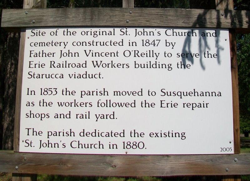
Site of the original St. John's Church and cemetery constructed in 1847 by Father John Vincent O'Reilly to serve the Erie Railroad Workers building the Star[r]ucca viaduct.
In 1853 the parish moved to Susquehanna as the workers followed the Erie repair shops and rail yard.
The parish dedicated the existing St. John's Church in 1880.
Erected 2005.
Topics. This historical marker is listed in these topic lists: Cemeteries & Burial Sites • Churches & Religion • Railroads & Streetcars. A significant historical year for this entry is 1847.
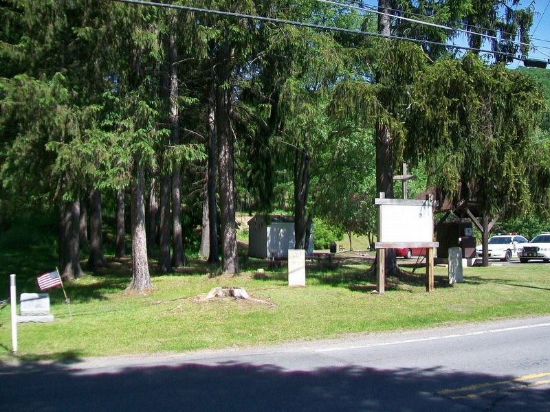
Location. 41° 57.656′ N, 75° 35.111′ W. Marker is in Lanesboro, Pennsylvania, in Susquehanna County. Marker is on Main Street (Pennsylvania Route 1009) south of Cemetery Road, on the left when traveling south. Touch for map. Marker is at or near this postal address: Lanesboro Community Center, Lanesboro PA 18827, United States of America. Touch for directions.
Other nearby markers. At least 8 other markers are within 2 miles of this marker, measured as the crow flies. Starrucca Viaduct (about 800 feet away, measured in a direct line); Starrucca Viaduct - The Bridge of Stone (approx. 0.3 miles away); Mother Theresa Maxis Duchemin (approx. 1.1 miles away); Saint John the Evangelist Catholic Church (approx. 1.2 miles away); Commemorating 300th Birthday of Pennsylvania
Related marker. Click here for another marker that is related to this marker.
Credits. This page was last revised on January 28, 2021. It was originally submitted on June 15, 2017, by William Fischer, Jr. of Scranton, Pennsylvania. This page has been viewed 309 times since then and 50 times this year. Photos: 1, 2, 3. submitted on June 15, 2017, by William Fischer, Jr. of Scranton, Pennsylvania.


