Downtown in Louisville in Jefferson County, Kentucky — The American South (East South Central)
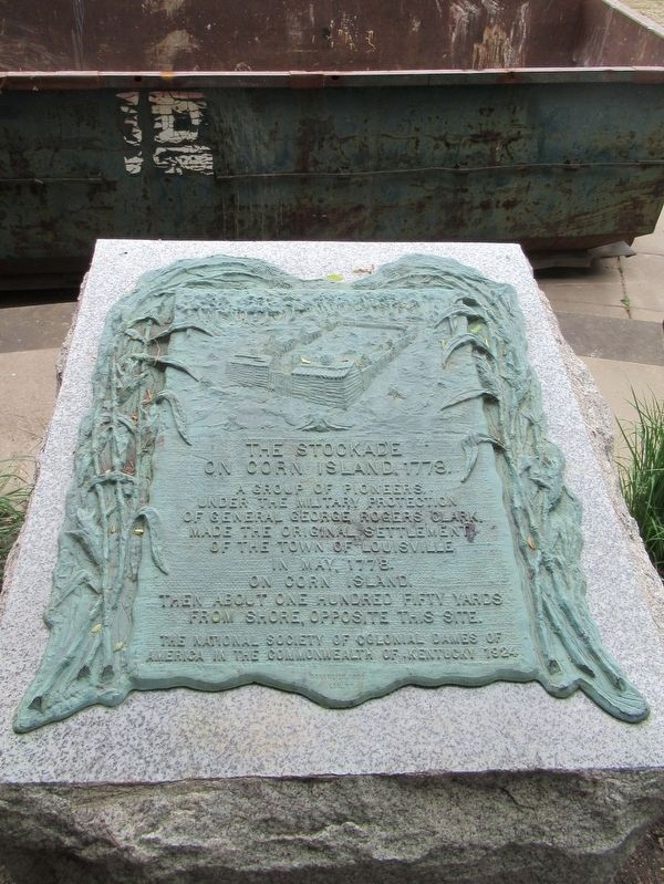
The Stockade On Corn Island, 1778
On Corn Island, 1778.
A group of pioneers,
under the military protection
of General George Rogers Clark,
made the original settlement
of the town of Louisville
in May, 1778 on Corn Island,
then about one hundred fifty yards
from shore, opposite this site.
The National Society of Colonial Dames of
America in the Commonwealth of Kentucky 1924
Erected 1924 by The National Society of Colonial Dames of America in the Commonwealth of Kentucky.
Topics and series. This historical marker is listed in these topic lists: Colonial Era • Forts and Castles • Settlements & Settlers. In addition, it is included in the The Colonial Dames of America, National Society of series list.
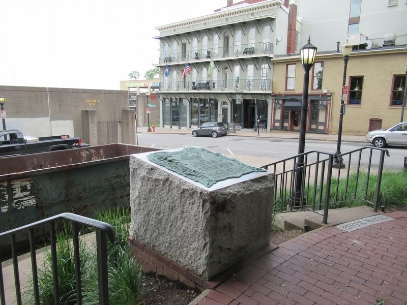
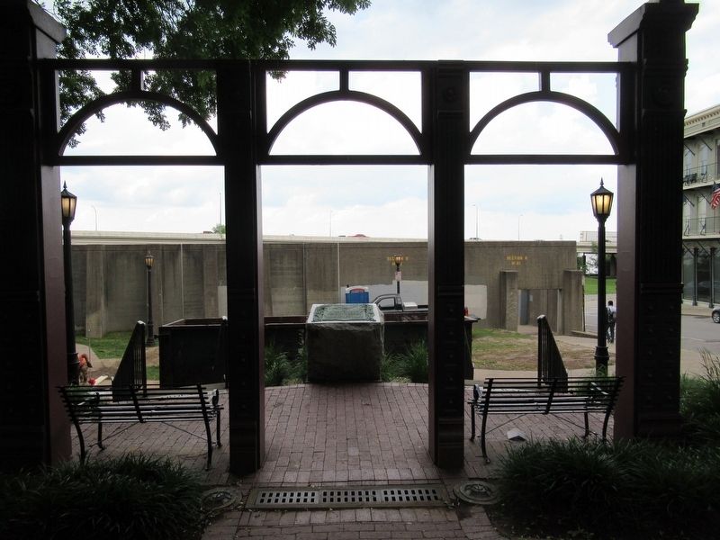
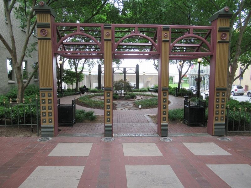
Location. 38° 15.451′ N, 85° 45.697′ W. Marker is in Louisville, Kentucky, in Jefferson County. It is in Downtown. Marker can be reached from the intersection of W Main Street and N 7th Street, on the right when traveling west. Located in Fort Nelson Park. Touch for map. Marker is at or near this postal address: 705 W Main Street, Louisville KY 40201, United States of America. Touch for directions.
Other nearby markers. At least 8 other markers are within walking distance of this marker. Fort Nelson Park (within shouting distance of this marker); Evan Williams (about 600 feet away, measured in a direct line); Bridgeford, Ricketts & Company (about 700 feet away); Evan Williams Bourbon Experience (about 700 feet away); 125 South Sixth Street (about 700 feet away); J. Monks (about 800 feet away); The 32nd Indiana Infantry Monument (approx. 0.2 miles away); D.X. Murphy & Bro., Architects (approx. ¼ mile away). Touch for a list and map of all markers in Louisville.
Also see . . . Corn Island (Kentucky) on Wikipedia. (Submitted on June 16, 2017, by Michael Herrick of Southbury, Connecticut.)
Credits. This page was last revised on February 12, 2023. It was originally submitted on June 16, 2017, by Michael Herrick of Southbury, Connecticut. This page has been viewed 539 times since then and 50 times this year. Photos: 1, 2, 3, 4. submitted on June 16, 2017, by Michael Herrick of Southbury, Connecticut.


