
University Park in Dayton in Montgomery County, Ohio — The American Midwest (Great Lakes)
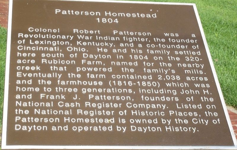
Patterson Homestead 1804
Photographed by Rev. Ronald Irick, June 20, 2017
1. Patterson Homestead 1804 Marker
Colonel Robert Patterson was a Revolutionary War Indian fighter, the founder of Lexington, Kentucky, and co-founder of Cincinnati, Ohio. He and his family settled here south of Dayton in 1804 on the 320-acre Rubicon Farm, named for the nearby creek that powered the family’s mills. Eventually the farm contained 2,038 acres and the farmhouse (1816- 1850) which was home to three generations, including John H. and Frank J. Patterson, founders of the National Cash Register Company. Listed on the National Register of Historic Places, the Patterson Homestead is owned by the City of Dayton and operated by Dayton History.
Topics. This historical marker is listed in these topic lists: Agriculture • Industry & Commerce • Settlements & Settlers • War, US Revolutionary.
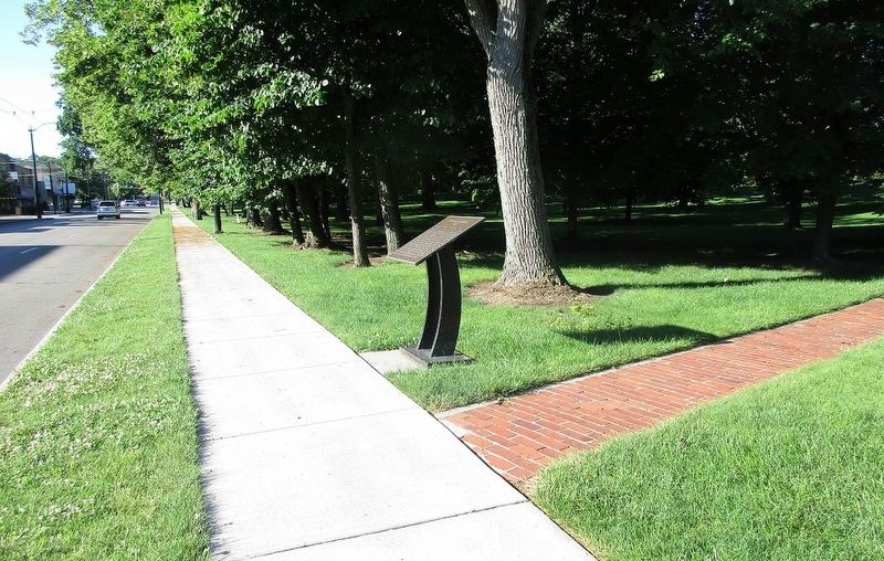
Location. 39° 44.109′ N, 84° 10.856′ W. Marker is in Dayton, Ohio, in Montgomery County. It is in University Park. It is at the intersection of Brown Street and Sawmill Road, on the right when traveling south on Brown Street. Touch for map. Marker is at or near this postal address: 1815 Brown St, Dayton
this page online

Regionally, this marker is in Ohio’s Miami Valley. It is also in the American Midwest and in the Corn Belt. Globally, it is in North America, the Western Hemisphere, the Western World, and the Anglosphere. Historically, it finds itself in what was once the Haudenosaunee (Iroquois) Confederacy, the territory of the Mississippian Culture, and the Northwest Territory.
Other nearby markers. At least 8 other markers are within walking distance of this marker: The Patterson Homestead (about 400 feet away, measured in a direct line); Schantz Park Historic District (approx. ¼ mile away); First Members of the Society of Mary in North America in 1849 (approx. 0.3 miles away); Adam Schantz, Sr. House (approx. 0.3 miles away); Erma Bombeck (approx. 0.4 miles away); St. Mary’s Hall (approx. 0.4 miles away); Blessed (approx. 0.4 miles away); Campaign for the University of Dayton (approx. 0.4 miles away). Touch for a list and map of all markers in Dayton.
Also see . . . Patterson Homestead. Wikipedia entry (Submitted on November 27, 2024, by Larry Gertner of New York, New York.)
Additional keywords. National
Photographed by Rev. Ronald Irick, June 20, 2017
2. Patterson Homestead 1804 Marker
Photographed by Rev. Ronald Irick, June 20, 2017
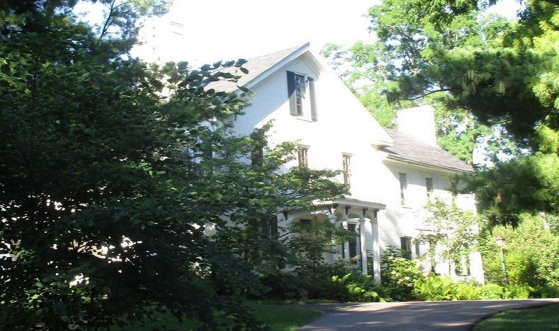
3. Patterson Homestead 1804 Marker
Photographed by Rev. Ronald Irick, June 20, 2017
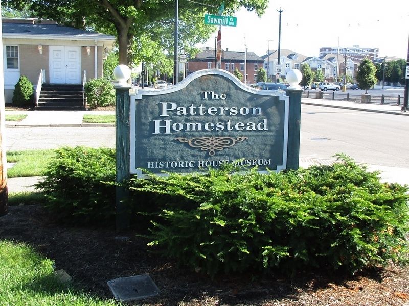
4. Patterson Homestead 1804 Marker
Credits. This page was last revised on November 27, 2024. It was originally submitted on June 21, 2017, by Rev. Ronald Irick of West Liberty, Ohio. This page has been viewed 720 times since then and 43 times this year. Photos: 1, 2, 3, 4. submitted on June 21, 2017, by Rev. Ronald Irick of West Liberty, Ohio. • Bill Pfingsten was the editor who published this page.
