Near Meadows of Dan in Patrick County, Virginia — The American South (Mid-Atlantic)
Floyd County
⎯⎯⎯
Patrick County
Photographed by J. J. Prats, June 9, 2017
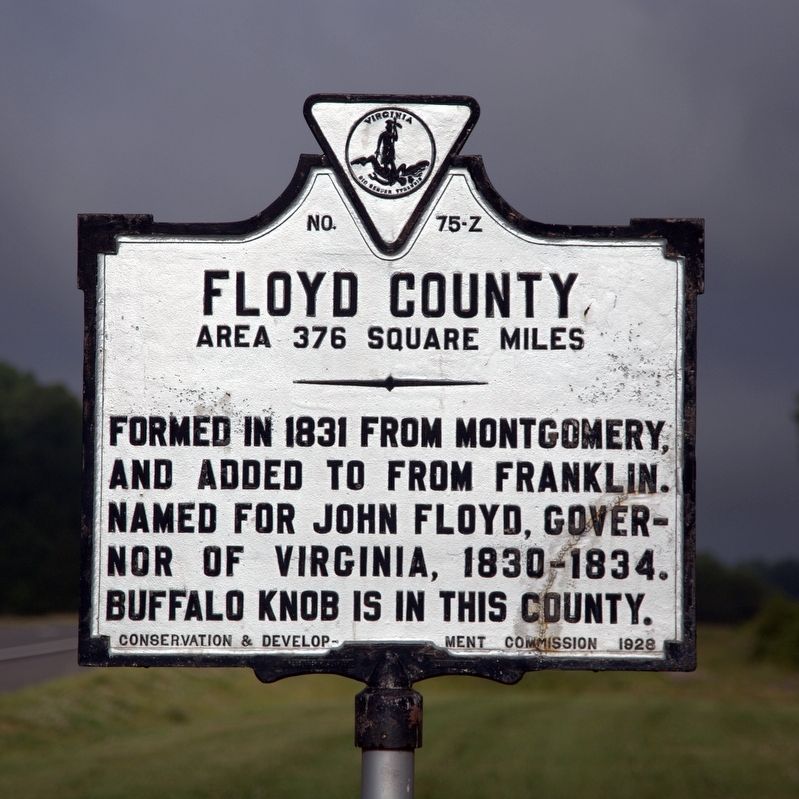
1. Floyd County Face of Marker
Floyd County. Area 376 square miles. Formed in 1831 from Montgomery, and added to from Franklin. Named for John Floyd, governor of Virginia, 1830–1834. Buffalo Knob is in this county.
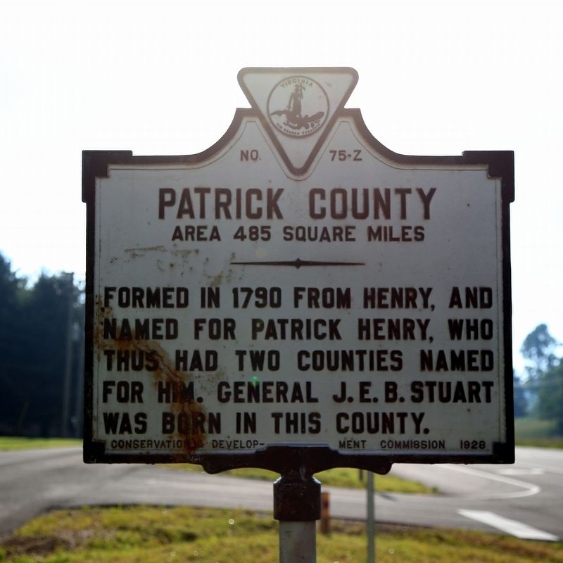
Patrick County. Area 485 square miles. Formed in 1790 from Henry, and named for Patrick Henry, who thus, had two counties named for him. General J.E.B. Stuart was born in this county.
Erected 1928 by Conservation & Development Commission. (Marker Number Z-75.)
Topics and series. This historical marker is listed in these topic lists: Political Subdivisions • War, US Civil. In addition, it is included in the Virginia Department of Historic Resources (DHR) series list. A significant historical year for this entry is 1780.
Location. 36° 43.995′ N, 80° 27.153′ W. Marker is near Meadows of Dan, Virginia, in Patrick County. It is at the intersection of Jeb Stuart Highway (U.S. 58) and Widow Drive (County Route 747), on the right when traveling west on Jeb Stuart Highway. It is just inside of Patrick County, at Micro Airport. Touch for map. Marker is at or near this postal address: 910 Danville Pike SW, Meadows of Dan VA 24120, United
this page online

Regionally, this marker is in Southern Virginia and in the Blue Ridge Highlands. It is also in the American South, specifically in the Upper South, in Appalachia, and specifically in Southern Appalachia. Globally, it is in North America, the Western Hemisphere, the Western World, and the Anglosphere. Historically, it finds itself in what was once the territory of the Mississippian Culture, one of the original Thirteen Colonies, one of the Confederate States of America, and the Antebellum South.
Other nearby markers. At least 8 other markers are within 3 miles of this marker, measured as the crow flies: Carroll County / Floyd County (approx. 1½ miles away); Meadows of Dan (approx. 2.4 miles away); Mill Stones (approx. 2.9 miles away); Lumber Drying Rack (approx. 2.9 miles away); Appalachian Houses (approx. 2.9 miles away); A Versatile Mill (approx. 2.9 miles away); Bark Mill (approx. 2.9 miles away); Rural Life In Appalachia (approx. 2.9 miles away). Touch for a list and map of all markers in Meadows of Dan.
Photographed by J. J. Prats, June 9, 2017
2. Floyd County / Patrick County Marker
Photographed by J. J. Prats, June 9, 2017
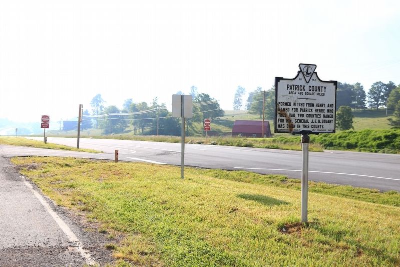
3. Floyd County / Patrick County Marker
Photographed by J. J. Prats, June 9, 2017
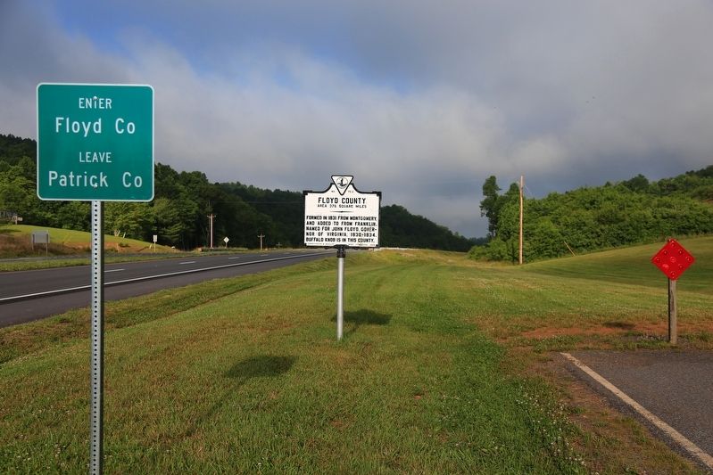
4. Floyd County / Patrick County Marker
Credits. This page was last revised on July 8, 2021. It was originally submitted on June 22, 2017, by J. J. Prats of Powell, Ohio. This page has been viewed 440 times since then and 32 times this year. Photos: 1, 2, 3, 4. submitted on June 22, 2017, by J. J. Prats of Powell, Ohio.
