Meadows of Dan in Patrick County, Virginia — The American South (Mid-Atlantic)
Meadows of Dan
| — | The Crooked Road — Virginia’s Heritage Music Trail | — |
Photographed by J. J. Prats, June 9, 2017
1. Meadows of Dan Marker
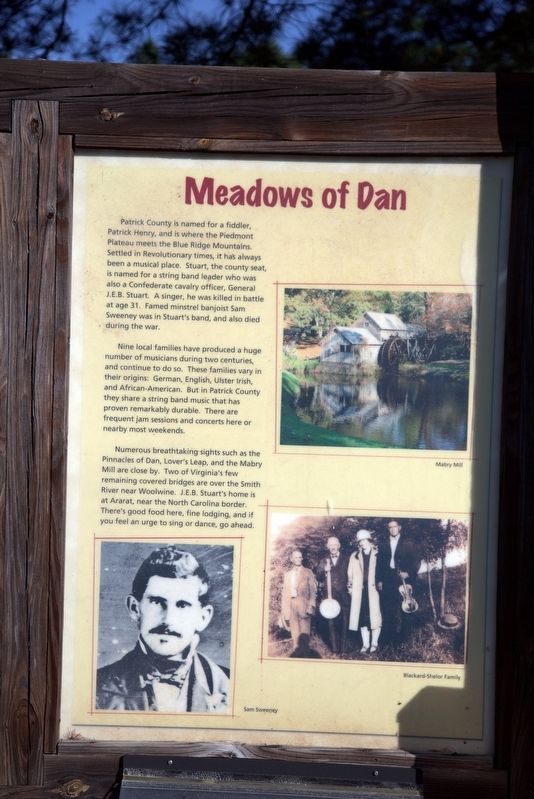
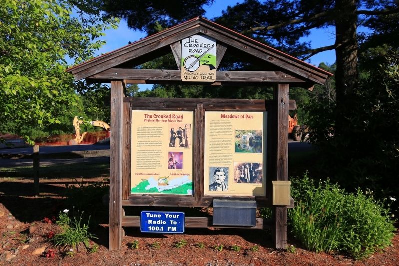
Nine local families have produced a huge number of musicians during two centuries, and continue to do so. These families vary in their origins: German, English, Ulster Irish, and African-American. But in Patrick County they share a string band music that has proven remarkably durable. There are frequent jam sessions and concerts here or nearby most weekends.
Numerous breathtaking sights such as the Pinnacles of Dan, Lover’s Leap, and the Mabry Mill are close by. Two of Virginia’s few remaining covered bridges are over the Smith River near Woolwine. J.E.B. Stuart’s home is at Ararat, near the North Carolina border. There’s good food here, fine lodging, and if you feel an urge to sing or dance, go ahead.
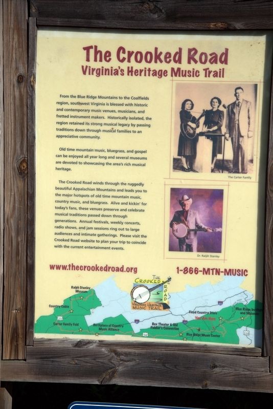
The Crooked Road, Virginia’s Heritage Music Trail. From the Blue Ridge Mountains to the Coalfields region, southwest Virginia is blessed with historic and contemporary music venues, musicians, and fretted instrument makers. Historically isolated, the region retained its strong musical legacy by passing traditions down through musical families to an appreciative community.
Old time mountain music, bluegrass, and gospel can be enjoyed all year long and several museums are devoted to showcasing the area’s rich musical heritage.
The Crooked Road winds through the ruggedly beautiful Appalachian Mountains and leads you to the major hotspots
this page online
Erected by The Crooked Road.
Topics and series. This historical marker is listed in these topic lists: Arts, Letters, Music • Entertainment • Industry & Commerce • War, US Civil. In addition, it is included in the The Crooked Road: Virginia’s Heritage Music Trail series list.
Location. 36° 44.124′ N, 80° 24.527′ W. Marker is in Meadows of Dan, Virginia, in Patrick County. It is at the intersection of Business U.S. 58 and Blue Ridge Parkway, on the right when traveling west on U.S. 58Business . Touch for map. Marker is in this post office area: Meadows of Dan VA 24120, United States of America. Touch for directions.

Regionally, this marker is in Southern Virginia
Photographed by J. J. Prats, June 9, 2017
2. Meadows of Dan Marker
Other nearby markers. At least 8 other markers are within 2 miles of this marker, measured as the crow flies: Rural Life In Appalachia (approx. one mile away); Mabry Mill (approx. 1.1 miles away); A Versatile Mill (approx. 1.1 miles away); Mill Stones (approx. 1.1 miles away); Lumber Drying Rack (approx. 1.1 miles away); Challenges (approx. 1.1 miles away); Appalachian Houses (approx. 1.1 miles away); Blacksmith Shop (approx. 1.1 miles away). Touch for a list and map of all markers in Meadows of Dan.
Photographed by J. J. Prats, June 9, 2017
3. The Crooked Road Meadows of Dan Marker
Photographed by J. J. Prats, June 9, 2017
4. The Crooked Road Meadows of Dan Marker
Credits. This page was last revised on December 26, 2019. It was originally submitted on June 22, 2017, by J. J. Prats of Powell, Ohio. This page has been viewed 1,870 times since then and 104 times this year. Photos: 1, 2, 3, 4. submitted on June 22, 2017, by J. J. Prats of Powell, Ohio.
