Hare in Alleghany County, North Carolina — The American South (South Atlantic)
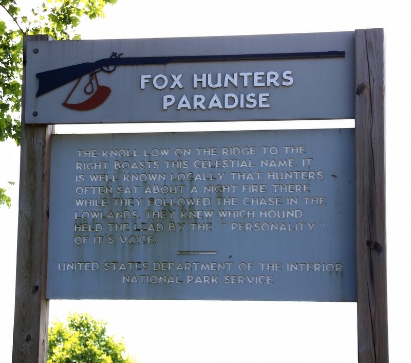
Fox Hunters Paradise
Photographed by J. J. Prats, June 9, 2017
1. Fox Hunters Paradise Marker
Erected by United Stated Department of the Interior, National Park Service.
Topics and series. This historical marker is listed in these topic lists: Animals • Natural Features. In addition, it is included in the Blue Ridge Parkway series list.
Location. 36° 32.529′ N, 80° 55.1′ W. Marker is in Hare, North Carolina, in Alleghany County. It is on Blue Ridge Parkway at the High Piney Spur Overlook (at milepost 218.6), 1.8 miles the Virginia state line, on the left when traveling south. Touch for map. Marker is in this post office area: Glade Valley NC 28627, United States of America. Touch for directions.

Regionally, this marker is in North Carolina’s and he Mountains in the High Country. It is also in the American South, specifically in the Upper South, in Appalachia, and specifically
this page online
Other nearby markers. At least 8 other markers are within 8 miles of this marker, measured as the crow flies: Blue Ridge Parkway (approx. 1.3 miles away); Grayson County Virginia / North Carolina (approx. 1.7 miles away in Virginia); Old Saddle Mountain Baptist Church Veterans Memorial (approx. 2.6 miles away); Jesse Franklin (approx. 3.9 miles away); Riverhill Baptist Church (approx. 7.1 miles away in Virginia); Fries (approx. 7.2 miles away in Virginia); Galax (approx. 8 miles away in Virginia); Veterans Memorial (approx. 8 miles away in Virginia).
Photographed by J. J. Prats, June 9, 2017
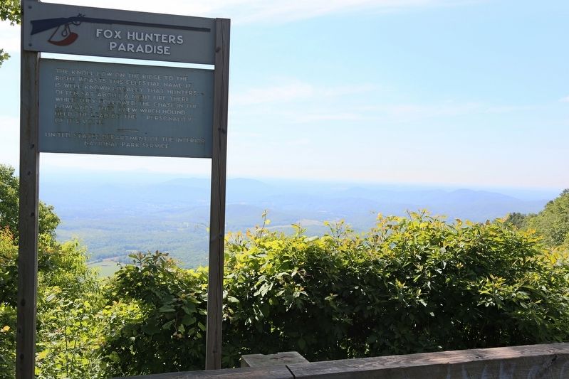
2. Fox Hunters Paradise Marker
Photographed by J. J. Prats, June 9, 2017
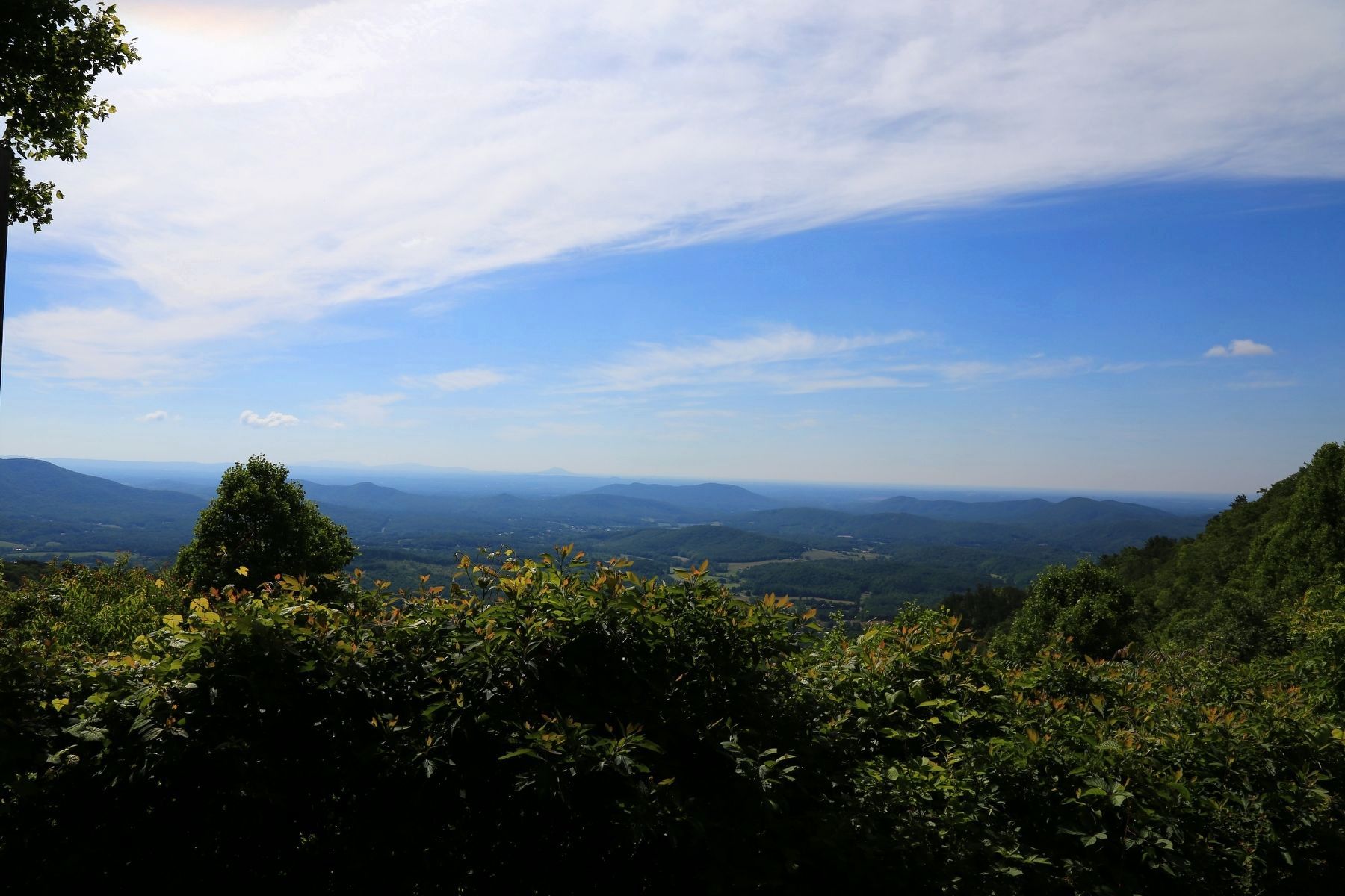
3. View from the Overlook
Photographed by J. J. Prats, June 9, 2017
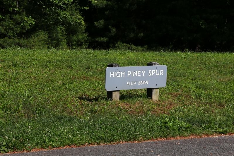
4. High Piney Spur - Elevation 2805 Feet
Credits. This page was last revised on June 23, 2017. It was originally submitted on June 23, 2017, by J. J. Prats of Powell, Ohio. This page has been viewed 657 times since then and 45 times this year. Photos: 1, 2, 3, 4. submitted on June 23, 2017, by J. J. Prats of Powell, Ohio.
