Rural Hall in Forsyth County, North Carolina — The American South (South Atlantic)
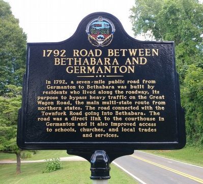
1792 Road Between Bethabara and Germanton
Erected 2016 by Forsyth County Government.
Topics. This historical marker is listed in these topic lists: Industry & Commerce • Roads & Vehicles • Settlements & Settlers. A significant historical year for this entry is 1792.
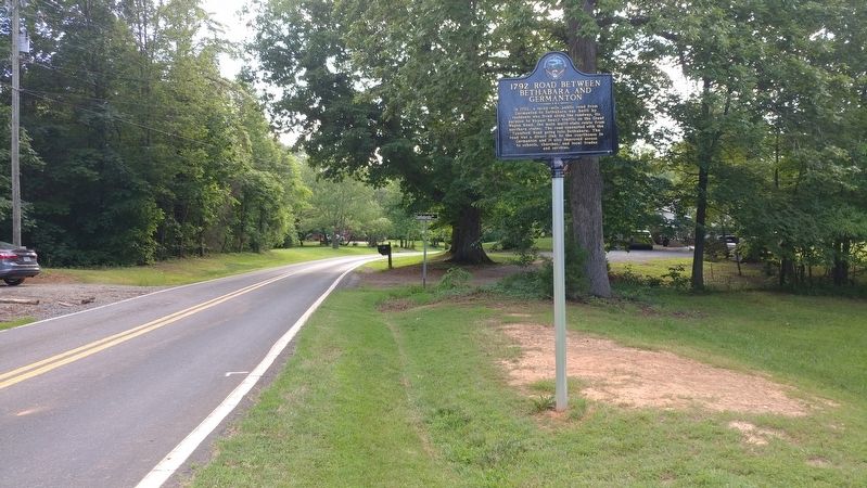
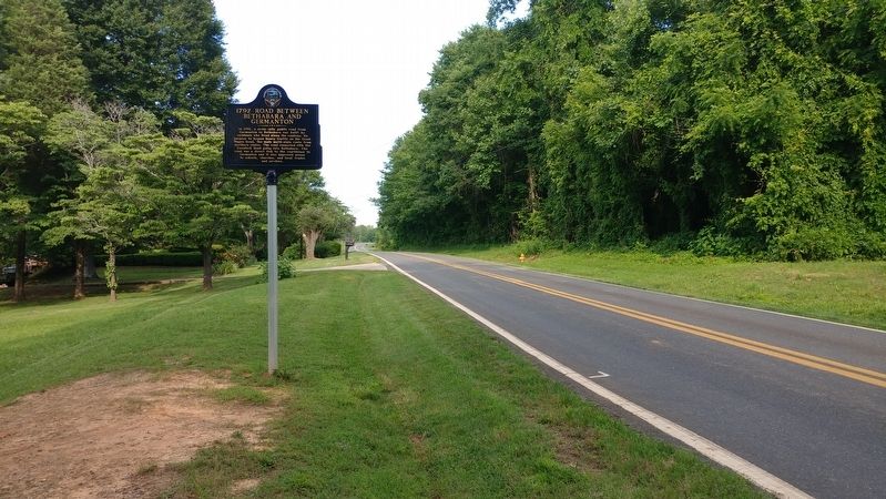
Location. 36° 13.632′ N, 80° 14.405′ W. Marker is in Rural Hall, North Carolina, in Forsyth County. Marker is at the intersection of Memorial Industrial School Road and Confederate Drive when traveling east on Memorial Industrial School Road. Touch for map. Marker is in this post office area: Rural Hall NC 27045, United States of America. Touch for directions.
Other nearby markers. At least 8 other markers are within 6 miles of this marker, measured as the crow flies. Memorial Industrial School (approx. 0.7 miles away); Benjamin Forsyth (approx. 2.4 miles away); “Y” Camps of Salem Chapel Township (approx. 3.2 miles away); Nazareth Church (approx. 3˝ miles away); Bethania Freedman's Community (approx. 4.6 miles away); Ogburn Station (approx. 5˝ miles away); Calf Barn 1765 (approx. 5.9 miles away); 1753 Great Philadelphia Wagon Road (approx. 5.9 miles away). Touch for a list and map of all markers in Rural Hall.
Credits. This page was last revised on June 24, 2017. It was originally submitted on June 24, 2017, by Michael C. Wilcox of Winston-Salem, North Carolina. This page has been viewed 497 times since then and 18 times this year. Photos: 1, 2, 3. submitted on June 24, 2017, by Michael C. Wilcox of Winston-Salem, North Carolina.


