Near Matador in Motley County, Texas — The American South (West South Central)
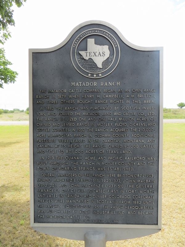
Matador Ranch
In 1882, the ranch was purchased by Scottish investors, who formed the Matador Land & Cattle Company, Ltd. The ranch utilized one and one half million acres of owned and leased range in Motley, Floyd, Dickens and Cottle counties. In 1902, the ranch acquired the 210,000 acre Alamocitas Ranch in Oldham County. Additional pastures were leased in the Dakotas, Montana and Canada. At its height the ranch owned 90,000 cattle and title to 879,000 acres of Texas land.
In 1913, the Quanah, Acme and Pacific Railroad was built through the ranch in Motley County and the town of Roaring Springs was established.
General managers of the ranch were Britton (1879-90), Murdo MacKenzie (1890-1911, 1923-37), John MacBain (1912-22), and John MacKenzie (1937-51). The general manager's office was located first in Fort Worth and later in Trinidad and Denver, Colorado. Corporate offices were maintained in Scotland from 1882 until the ranch's liquidation in 1951. The ranch headquarters was purchased by Koch Industries, Inc. and became The Matador Cattle Company.
Erected 1986 by Texas Historical Commission. (Marker Number 3249.)
Topics. This historical marker is listed in these topic lists: Agriculture • Animals. A significant historical year for this entry is 1879.
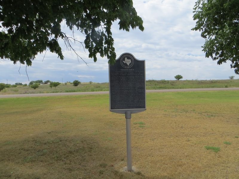
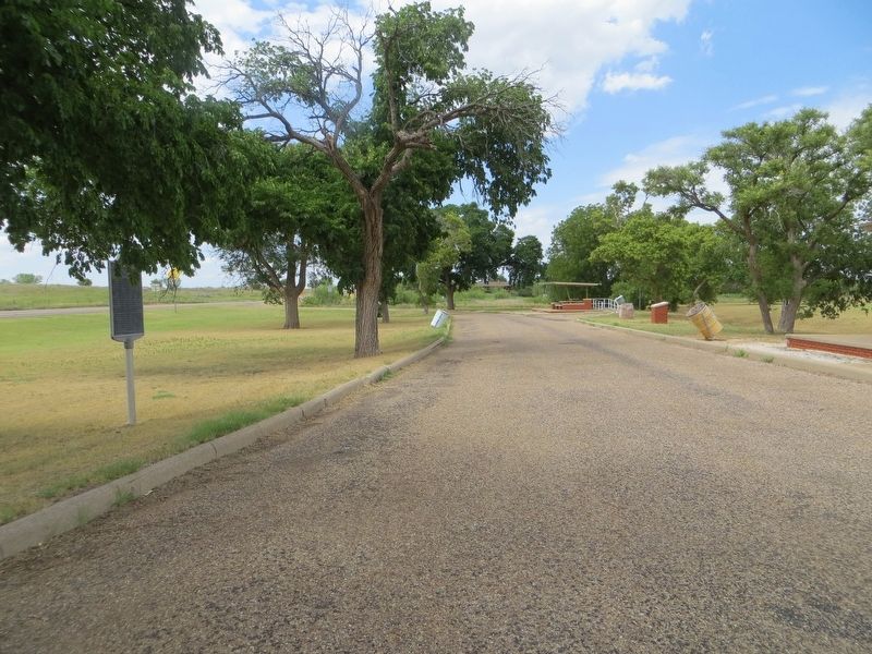
Location. 33° 59.89′ N, 100° 49.689′ W. Marker is near Matador, Texas, in Motley County. Marker is on State Highway 70, one mile south of U.S. 62, on the left when traveling south. Marker is in roadside park. Touch for map. Marker is in this post office area: Matador TX 79244, United States of America. Touch for directions.
Other nearby markers. At least 8 other markers are within 7 miles of this marker, measured as the crow flies. Motley County (within shouting distance of this marker); Traweek House (approx. 0.9 miles away); Bob's Oil Well (approx. one mile away); Quanah Parker Trail (approx. 1.1 miles away); a different marker also named Quanah Parker Trail (approx. 1.2 miles away); Motley County Jail (approx. 1.2 miles away); The Motley County Railroad (approx. 1.4 miles away); Roaring Springs Depot (approx. 7.1 miles away). Touch for a list and map of all markers in Matador.
Credits. This page was last revised on June 25, 2017. It was originally submitted on June 25, 2017, by Bill Kirchner of Tucson, Arizona. This page has been viewed 654 times since then and 40 times this year. Photos: 1, 2, 3. submitted on June 25, 2017, by Bill Kirchner of Tucson, Arizona.


