Dickens in Dickens County, Texas — The American South (West South Central)
Dickens Cemetery
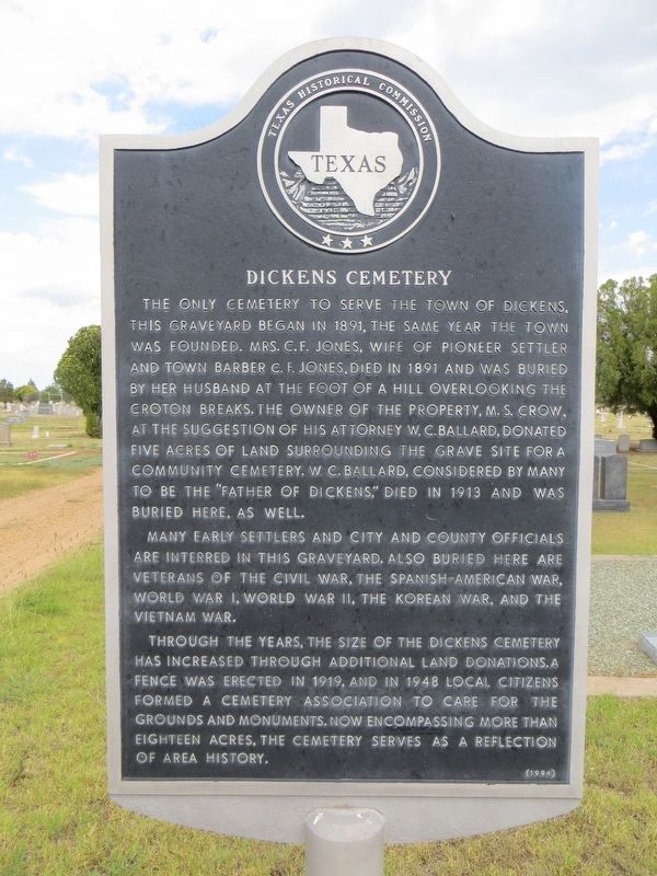
Photographed by Bill Kirchner, June 7, 2017
1. Dickens Cemetery Marker
Many early settlers, city and county officials are interred in this graveyard. Also buried here are veterans of the Civil War, the Spanish-American War, World War I, World War II, the Korean War, and the Vietnam War.
Through the years, the site of the Dickens Cemetery has increased through additional land donations. A fence was erected in 1919, and in 1948 local citizens formed a cemetery association to care for the grounds and monuments. Now, encompassing more than eighteen acres, the cemetery serves as a reflection of area history.
Erected 1994 by Texas Historical
this page online
Topics. This historical marker is listed in this topic list: Cemeteries & Burial Sites. A significant historical year for this entry is 1891.
Location. 33° 37.418′ N, 100° 49.283′ W. Marker is in Dickens, Texas, in Dickens County. It is on Cemetery Road 0.3 miles east of Ragan Street, on the right when traveling east. Touch for map. Marker is in this post office area: Dickens TX 79229, United States of America. Touch for directions.

Regionally, this marker is on Texas’ South Plains. It is also on the American Great Plains and specifically on the Southern Plains. Globally, it is in North America, a Gulf of Mexico state, the Western Hemisphere, the Western World, and the Anglosphere. Historically, it finds itself in what was once New Spain, the Republic of Texas, and one of the Confederate States of America.
Other nearby markers. At least 8 other markers are within 11 miles of this marker, measured as the crow flies: Dickens Springs (approx. 0.3 miles away); Dickens County (approx. 0.9 miles away); Espuela (approx. 5.4 miles away); Site of Anderson's Fort or Soldier's Mound (approx.
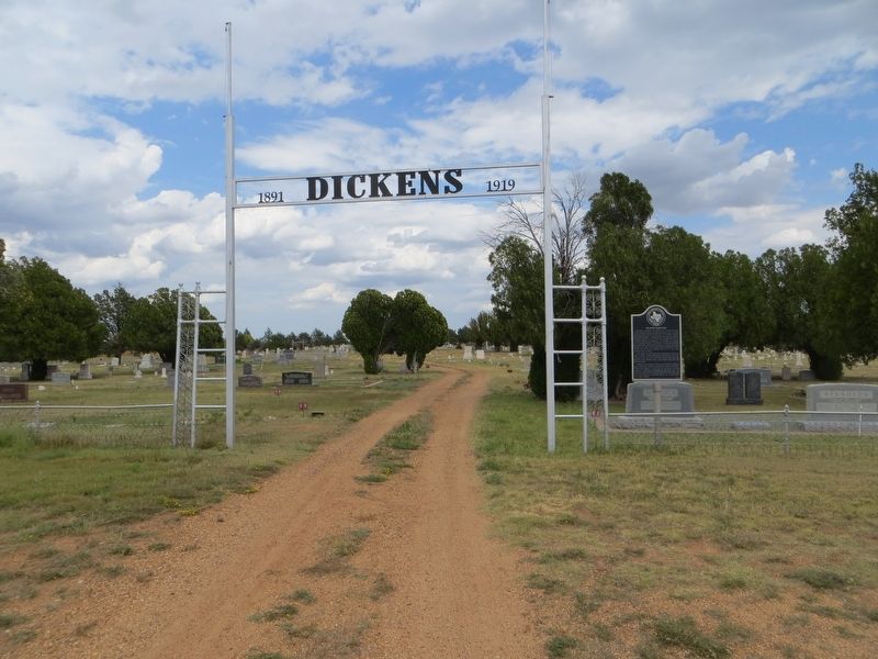
Photographed by Bill Kirchner, June 7, 2017
2. Dickens Cemetery Marker
Also see . . . Find a Grave for Mrs Charlie F. Jones. This is the first grave in the cemetery, enclosed in a stone fence. (Submitted on June 25, 2017, by Bill Kirchner of Tucson, Arizona.)
Credits. This page was last revised on June 25, 2017. It was originally submitted on June 25, 2017, by Bill Kirchner of Tucson, Arizona. This page has been viewed 628 times since then and 56 times this year. Photos: 1, 2. submitted on June 25, 2017, by Bill Kirchner of Tucson, Arizona.
