Clarksville in Montgomery County, Tennessee — The American South (East South Central)
St. John Missionary Baptist Church
Inscription.
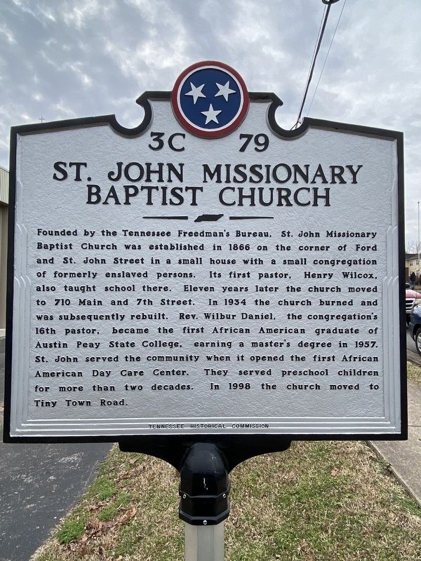
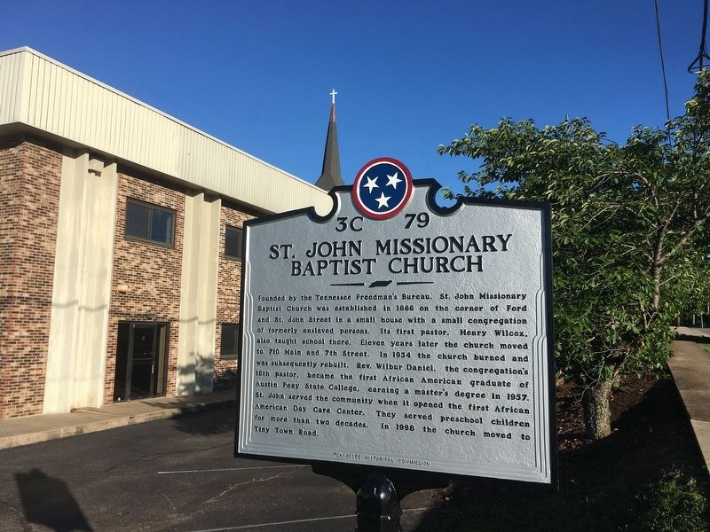
Founded by the Tennessee Freedman's Bureau. St. John Missionary Baptist Church was established in 1866 on the corner of Ford and St. John Street in a small house with a small congregation of formerly enslaved persons. Its first pastor, Henry Wilcox, also taught school there. Eleven years later the church moved to 710 Main and 7th Street. In 1934 the church burned and was subsequently rebuilt. Rev. Wilbur Daniel, the congregation's 16th pastor, became the first African American graduate of Austin Peay State College, earning a master's degree in 1957. St. John served the community when it opened the first African American Day Care Center. They served preschool children for more than two decades. In 1998 the church moved to Tiny Town Road.
Erected 2017 by Tennessee Historical Commission. (Marker Number 3C 79.)
Topics and series. This historical marker is listed in these topic lists: African Americans • Churches & Religion • Civil Rights. In addition, it is included in the Tennessee Historical Commission series list. A significant historical year for this entry is 1866.
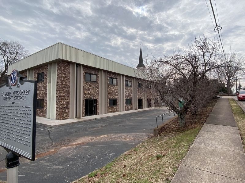
Location. 36° 31.793′ N, 87° 21.083′ W. Marker is in Clarksville, Tennessee, in Montgomery County. Marker is on 7th Street, on the left when traveling south. The marker is located on the east side of 7th St. between Main St. and Franklin. Touch for map. Marker is in this post office area: Clarksville TN 37042, United States of America. Touch for directions.
Other nearby markers. At least 8 other markers are within walking distance of this marker. Catholic Church and Rectory (about 300 feet away, measured in a direct line); Robert Loftin Newman (about 600 feet away); Archwood (about 800 feet away); St. Peter African Methodist Church (approx. 0.2 miles away); Austin Peay State University (approx. 0.2 miles away); Recapture of Clarksville (approx. 0.2 miles away); Site of Montgomery County College (approx. 0.2 miles away); Asahel Huntington Patch / Patch Foundry (approx. 0.3 miles away). Touch for a list and map of all markers in Clarksville.
Credits. This page was last revised on February 26, 2022. It was originally submitted on June 26, 2017, by Michael Manning of Woodlawn, Tennessee. This page has been viewed 463 times since then and 31 times this year. Photos: 1. submitted on February 26, 2022, by Darren Jefferson Clay of Duluth, Georgia. 2. submitted on June 26, 2017, by Michael Manning of Woodlawn, Tennessee. 3. submitted on February 26, 2022, by Darren Jefferson Clay of Duluth, Georgia. • Bill Pfingsten was the editor who published this page.


