Hamiltonban Township near Fairfield in Adams County, Pennsylvania — The American Northeast (Mid-Atlantic)
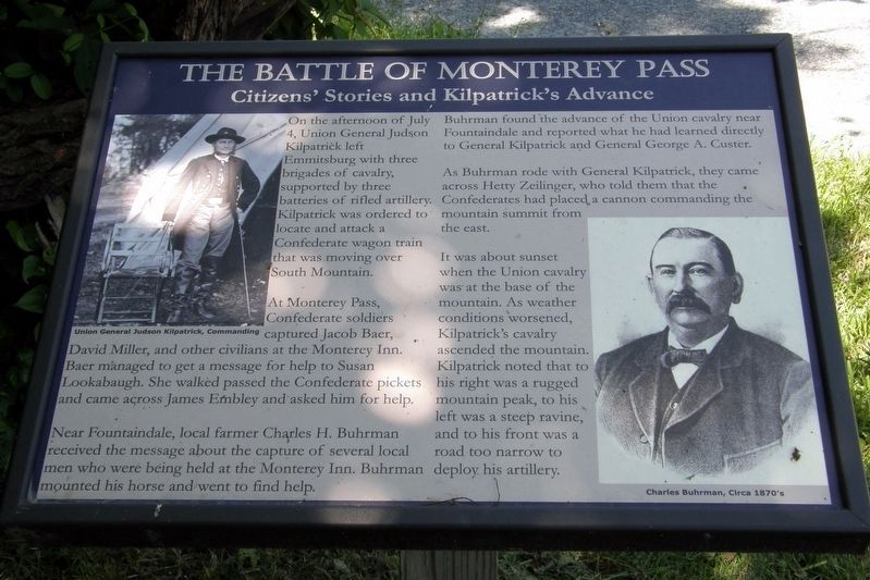
The Battle Of Monterey Pass
Citizens’ Stories and Kilpatrick’s Advance
Photographed by Larry Gertner, July 11, 2015
1. The Battle of Monterey Pass Marker
Replaces an earlier marker, "The Battle of Monterey Pass".
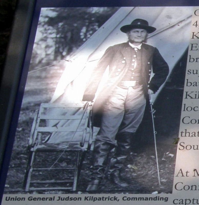
On the afternoon of July 4, Union General Judson Kilpatrick left Emmitsburg with three brigades of cavalry, supported by three batteries of rifled artillery. Kilpatrick was ordered to locate and attack a Confederate wagon train that was moving over South Mountain.
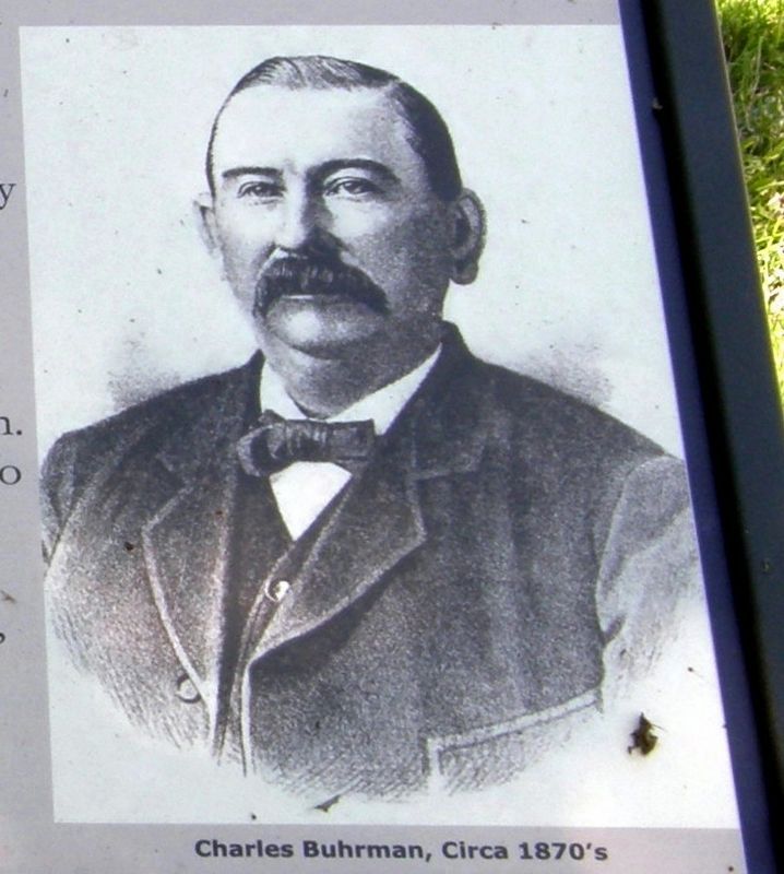
At Monterey Pass, Confederate soldiers captured Jacob Baer, David Miller, and other civilians at the Monterey Inn. Baer managed to get a message for help to Susan Lookabaugh. She walked past the Confederate pickets and came across James Embley and asked him for help. Near Fountaindale, local farmer Charles H. Buhrman received the message about the capture of several local men who were being held at the Monterey Inn. Buhrman mounted his horse and went to find help.
Buhrman found the advance of the Union cavalry near and reported what he had learned directly to General Kilpatrick and General George A. Custer.
As Buhrman rode with General Kilpatrick, they came across Hetty Zielinger, who told him that the confederates had placed a cannon commanding the mountain summit from the east.
It was about sunset when the Union cavalry was at the base of the mountain.
this page online
Topics. This historical marker is listed in this topic list: War, US Civil. A significant historical date for this entry is July 4, 1863.
Location. 39° 44.727′ N, 77° 27.227′ W. Marker is near Fairfield, Pennsylvania, in Adams County. It is in Hamiltonban Township. It is on Old Waynesboro Road north of Iron Springs Road, on the left when traveling north. Touch for map. Marker is at or near this postal address: 1340 Old Waynesboro Rd, Fairfield PA 17320, United States of America. Touch for directions.

Regionally, this marker is in South-Central Pennsylvania. It is also in the American Northeast, in the Mid-Atlantic, in Appalachia, and specifically in Northern Appalachia. Globally, it is in North America, the Western Hemisphere, the Western World, and the Anglosphere. Historically, it finds itself in what was once the Haudenosaunee (Iroquois) Confederacy and also one of the original Thirteen Colonies.
Photographed by Larry Gertner, July 11, 2015
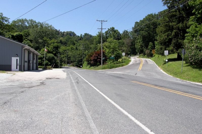
2. The Battle of Monterey Pass Marker
One of two markers at this location, in the shadows beyond the flagpole at the Fountaindale Fire Department.
Other nearby markers. At least 8 other markers are within walking distance of this marker: Before The Battle Of Gettysburg (here, next to this marker); The Battle of Fountain Dale (here, next to this marker); The Battle of Monterey Pass (here, next to this marker); Eyes In The Dark (approx. 0.7 miles away); a different marker also named The Battle of Monterey Pass (approx. 0.9 miles away); a different marker also named The Battle of Monterey Pass (approx. 0.9 miles away); a different marker also named The Battle of Monterey Pass (approx. 0.9 miles away); a different marker also named The Battle of Monterey Pass (approx. 0.9 miles away). Touch for a list and map of all markers in Fairfield.
Related marker. Click here for another marker that is related to this marker. This marker replaced an older one at this location also titled “The Battle of Monterey Pass”
Photographed by Larry Gertner, July 11, 2015
3. Union General Judson Kilpatrick, Commanding
Photographed by Larry Gertner, July 11, 2015
4. Charles Buhrman, circa 1870's
Credits. This page was last revised on February 7, 2023. It was originally submitted on May 13, 2017, by Larry Gertner of New York, New York. This page has been viewed 655 times since then and 39 times this year. Last updated on June 29, 2017, by Larry Gertner of New York, New York. Photos: 1, 2, 3, 4. submitted on May 13, 2017, by Larry Gertner of New York, New York. • Bernard Fisher was the editor who published this page.
