Monument in El Paso County, Colorado — The American Mountains (Southwest)
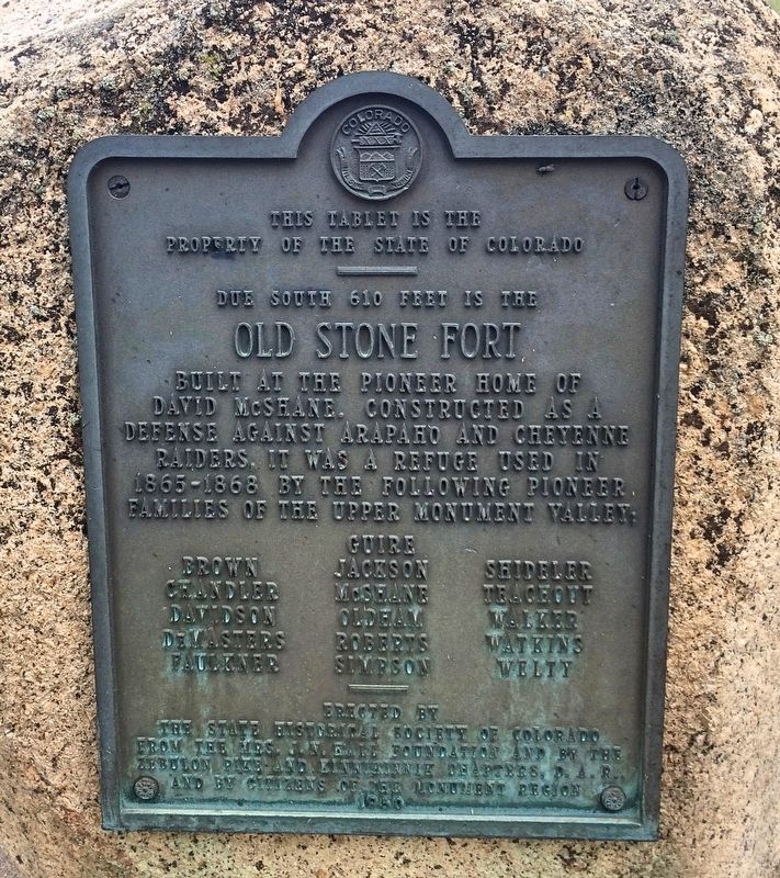
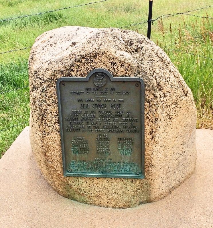
Old Stone Fort
property of the State of Colorado
_____
Due south 610 feet is the
Old Stone Fort
built at the pioneer home of
David McShane. Constructed as a
defense against Arapaho and Cheyenne
raiders. it was a refuge used in
1865-1868 by the following pioneer
families of the upper Monument valley:
Guire
Brown · Jackson · Shideler
Chandler · McShane · Teachout
Davidson · Oldham · Walker
DeMasters · Roberts · Watkins
Faulkner · Simpson · Welty
_____
Erected 1950 by the State Historical Society of Colorado from the Mrs. J.N. Hall Foundation and by the Zebulon Pike and Kinnikinnik Chapters, D. A. R., and by citizens of the Monument region.
Topics and series. This historical marker is listed in these topic lists: Forts and Castles • Native Americans • Settlements & Settlers. In addition, it is included in the Daughters of the American Revolution series list.
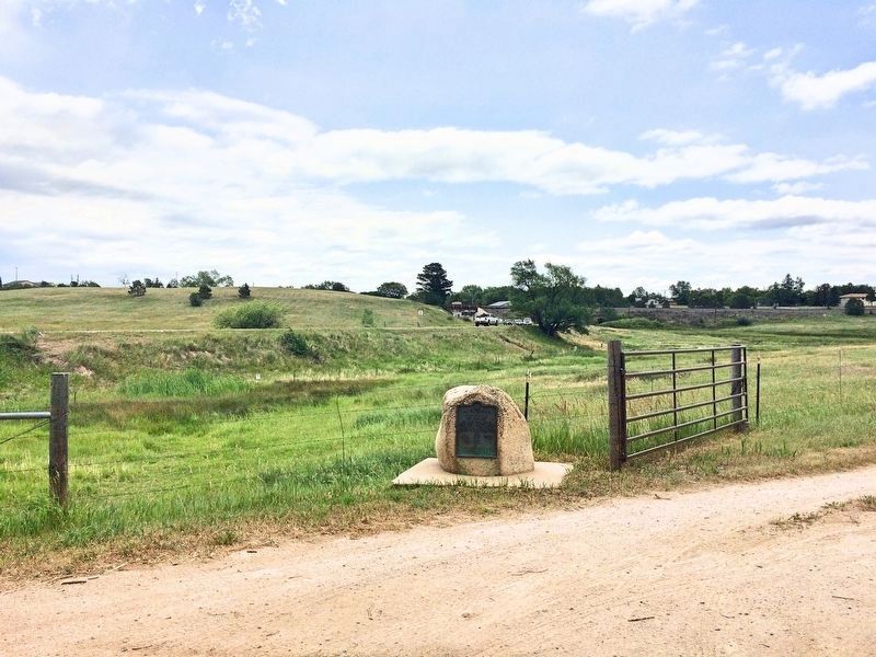
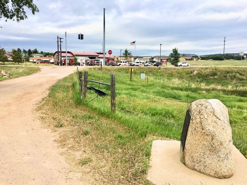
Location. 39° 5.888′ N, 104° 52.588′ W. Marker is in Monument, Colorado, in El Paso County. Marker is on Davidson Street south of Colorado Route 105. The boulder and marker were moved across Davidson Street when the nearby shopping area was built. Touch for map. Marker is at or near this postal address: 18255 Davidson Street, Monument CO 80132, United States of America. Touch for directions.
Other nearby markers. At least 8 other markers are within 6 miles of this marker, measured as the crow flies. B-52D Stratofortress (approx. 5˝ miles away); Foundations of Air Power (approx. 5˝ miles away); World War I (approx. 5˝ miles away); The Interwar Period (approx. 5˝ miles away); World War II (approx. 5˝ miles away); a different marker also named World War II (approx. 5˝ miles away); The Cold War Begins (approx. 5˝ miles away); The Korean War (approx. 5˝ miles away).
Regarding Old Stone Fort. The ruins of the fort are on private land.
Also see . . . Pioneers 'fort' up near Monument (blog) - includes photos. (Submitted on July 1, 2017, by Mark Hilton of Montgomery, Alabama.)
Credits. This page was last revised on April 21, 2019. It was originally submitted on July 1, 2017, by Mark Hilton of Montgomery, Alabama. This page has been viewed 791 times since then and 56 times this year. Photos: 1, 2, 3, 4. submitted on July 1, 2017, by Mark Hilton of Montgomery, Alabama.


