Near Amarillo in Potter County, Texas — The American South (West South Central)
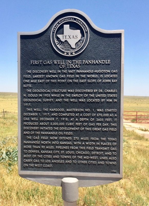
First Gas Well in the Panhandle of Texas
The geological structure was discovered by Dr. Charles N. Gould in 1905 while in the employ of the United States Geological Survey, and the well was located by him in 1917.
This well, the Hapgood, Masterson No. 1, was started December 1, 1917, and completed at a cost of $70,000 as a gas well December 7, 1918, at a depth of 2605 feet. It produced about 5,000,000 cubic feet of gas per day. This discovery initiated the development of this great gas field and of the Panhandle oil fields.
The gas field now extends 275 miles from the Texas Panhandle north into Kansas, with a width in places of more than 90 miles. Pipelines from this field transmit gas to Denver, Kansas City, St. Louis, Chicago, Detroit, and to most of the cities and towns of the mid-west. Lines also carry gas to Los Angeles and to other cities and towns on the west coast.
Erected 1965 by the State of Texas. (Marker Number 12163.)
Topics. This historical marker is listed in these topic lists: Industry & Commerce • Natural Features • Natural Resources. A significant historical date for this entry is December 1, 1917.
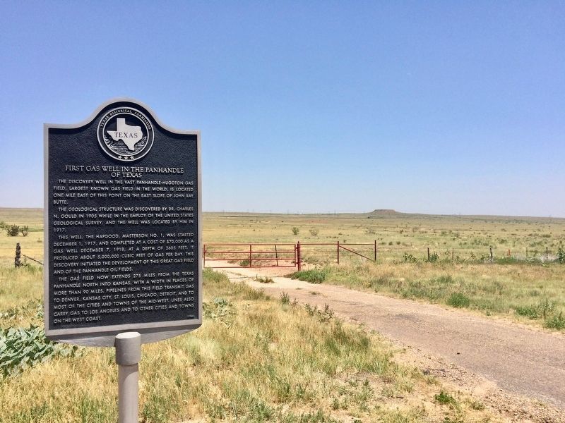
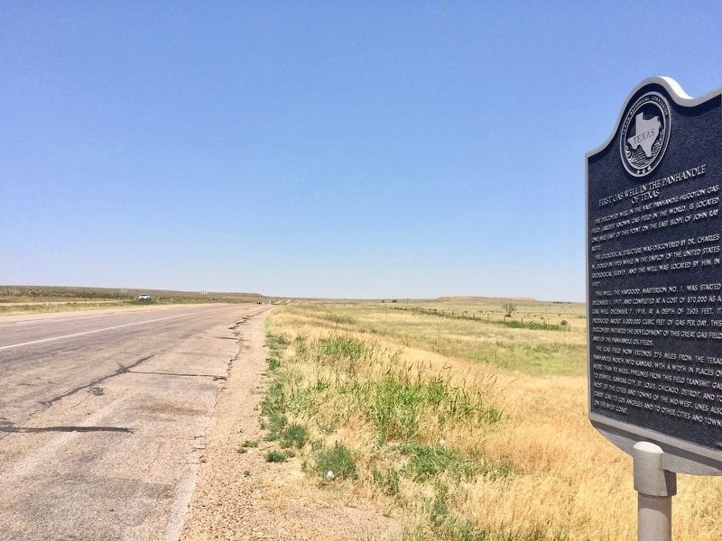
Location. 35° 34.399′ N, 101° 56.965′ W. Marker is near Amarillo, Texas, in Potter County. Marker is on U.S. 287, on the right when traveling north. Located along the highway, across from Crawford Ranch, about 30 miles north of Amarillo. Touch for map. Marker is at or near this postal address: US-287, Amarillo TX 79108, United States of America. Touch for directions.
Other nearby markers. At least 8 other markers are within 13 miles of this marker, measured as the crow flies. Masterson (approx. 4.2 miles away); First Cemetery in Potter County (approx. 7.7 miles away); Great Spanish Road / First Ranch in Potter County / First Store in Potter County (approx. 7.7 miles away); The Canadian River (approx. 7.7 miles away); The _X (LX) First Ranch in Potter County (approx. 9.3 miles away); The United States Topographical Engineers in the High Plains of Texas (approx. 9.3 miles away); Route of the Old Tascosa-Dodge City Trail (approx. 13 miles away); Moore County (approx. 13 miles away). Touch for a list and map of all markers in Amarillo.
Also see . . . Texas State Historical Association article on Charles Newton Gould. (Submitted on July 1, 2017, by Mark Hilton of Montgomery, Alabama.)
Credits. This page was last revised on July 1, 2017. It was originally submitted on July 1, 2017, by Mark Hilton of Montgomery, Alabama. This page has been viewed 2,929 times since then and 550 times this year. Photos: 1, 2, 3. submitted on July 1, 2017, by Mark Hilton of Montgomery, Alabama.


