Trinidad in Las Animas County, Colorado — The American Mountains (Southwest)
The Santa Fe Trail
Photographed by Mark Hilton, June 29, 2017
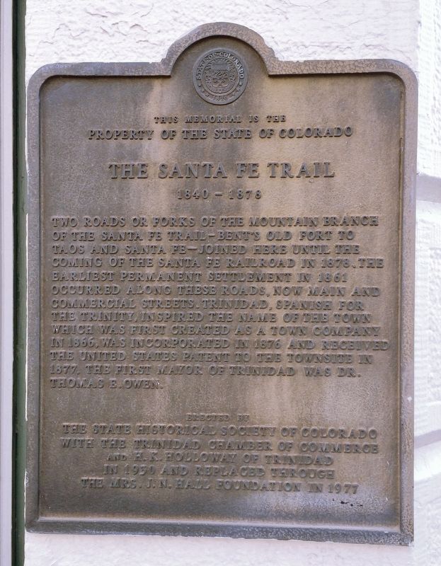
1. The Santa Fe Trail Marker
Property of the State of Colorado
The Santa Fe Trail
1840 - 1878
Two roads or forks of the Mountain Branch
of the Santa Fe Trail-Bent's Old Fort to
Taos and Santa Fe-joined here until the
coming of the Santa Fe Railroad in 1876. The
earliest permanent settlement in 1861
occurred along these roads, now Main and
Commercial Streets. Trinidad, Spanish for
the Trinity, inspired the name of the town
which was first created as a town company
in 1866, was incorporated in 1876 and received
the United States patent to the townsite in
1877. The first mayor of Trinidad was Dr.
Thomas E. Owen.
Erected 1977 by the State Historical Society of Colorado with the Trinidad Chamber of Commerce and H. K. Holloway of Trinidad in 1930 and replaced through the Mrs. J. N. Hall Foundation in 1977.
Topics and series. This historical marker is listed in these topic lists: Forts and Castles • Roads & Vehicles • Settlements & Settlers. In addition, it is included in the Santa Fe Trail series list. A significant historical year for this entry is 1840.
Location. 37° 10.111′ N, 104° 30.349′ W.
this page online

Regionally, this marker is in the American Mountain West, on the Great Plains, on the Southern Plains, and on the Santa Fe Trail Corridor. Globally, it is in North America, the Western Hemisphere, the Western World, and the Anglosphere. Historically, it finds itself in what was once New Spain, the Comanchería, the Dust Bowl, and the Republic of Texas.
Other nearby markers. At least 8 other markers are within walking distance of this marker: Corazón de Trinidad National Historic District (here, next to this marker); A Capital of Open Range Ranching (a few steps from this marker); The Aultman Studio (within shouting distance of this marker); Invasion by the United States Army (within shouting distance of this marker); Coal Miners' Memorial 1996 (about 300 feet away, measured in a direct line); The Mountain Called Fisher's Peak
Photographed by Mark Hilton, June 29, 2017
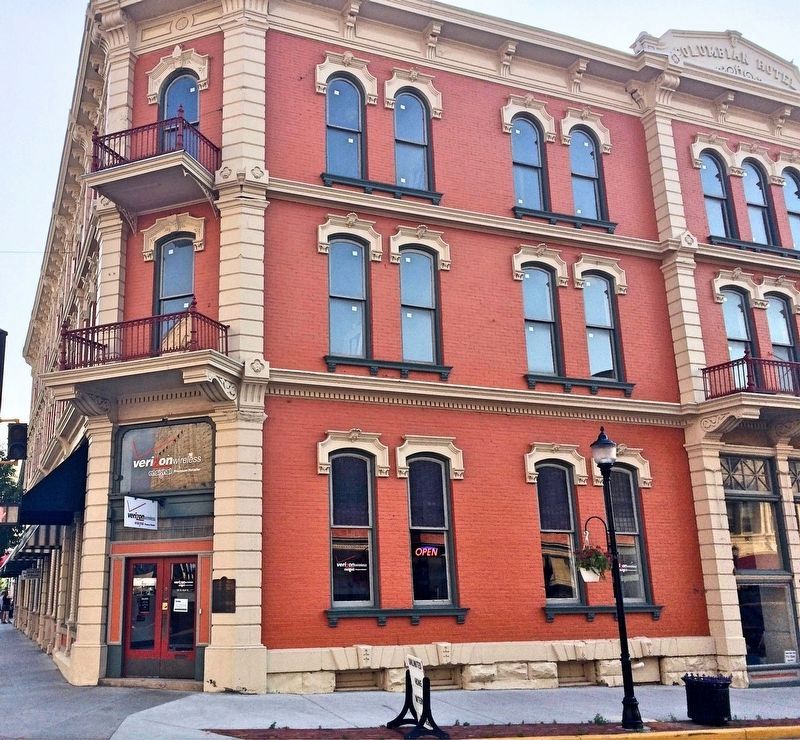
2. The Santa Fe Trail Marker on the corner of the former Columbian Hotel.
Photographed by Mark Hilton, June 29, 2017
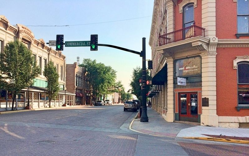
3. View of marker looking west on Main Street.
Credits. This page was last revised on August 18, 2024. It was originally submitted on July 1, 2017, by Mark Hilton of Montgomery, Alabama. This page has been viewed 874 times since then and 60 times this year. Photos: 1, 2, 3. submitted on July 1, 2017, by Mark Hilton of Montgomery, Alabama.
