Near Honaker in Russell County, Virginia — The American South (Mid-Atlantic)
The Home and Grave of David Musick
Pioneer Settler, and Victim of Indian Atrocity
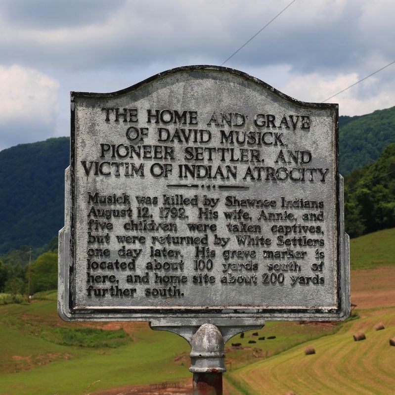
Photographed by J. J. Prats, June 10, 2017
1. The Home and Grave of David Musick Marker
Topics. This historical marker is listed in these topic lists: Indigenous Peoples and Communities • Settlements & Settlers. A significant historical date for this entry is August 12, 1792.
Location. 37° 2.459′ N, 82° 0.15′ W. Marker is near Honaker, Virginia, in Russell County. It is on Red Bud Highway (Virginia Route 80) just west of Laurel Branch Road (County Route 634). Touch for map. Marker is in this post office area: Honaker VA 24260, United States of America. Touch for directions.

Regionally, this marker is in Southwest Virginia. It is also in the American South, specifically in the Upper South, in Appalachia, and specifically in Southern Appalachia. Globally, it is in North America, the Western Hemisphere, the Western World, and the Anglosphere. Historically, it finds itself in what was once the territory of the Mississippian Culture, one of the original Thirteen Colonies, one of the Confederate States
this page online
Other nearby markers. At least 8 other markers are within 10 miles of this marker, measured as the crow flies: Buchanan County / Russell County (approx. 2.2 miles away); Civil War Memorial (approx. 2.3 miles away); Veterans Memorial (approx. 2.3 miles away); Helen Timmons Henderson (approx. 4.3 miles away); Buchanan Mission School (approx. 4½ miles away); Elk Garden Fort (approx. 7½ miles away); Charlie Fields (approx. 9.4 miles away); Smith’s Fort (approx. 9.6 miles away). Touch for a list and map of all markers in Honaker.
Also see . . . The David Musick Tragedy. Article by Emory L. Hamilton from the unpublished manuscript, Indian Atrocities Along the Clinch, Powell and Holston Rivers. “Two of the boys, Abraham and Elijah, went early one morning for firewood with which to prepare breakfast. They were surprised by a party of Indians (not known how many), but were able to reach their home. The doors were barred, and the defense of the house began. David Musick had a flint-lock rifle. He found it would not fire, due to the fact his house had been burned previous to this, injuring the gun. Mrs. Musick touched fire to the gun,
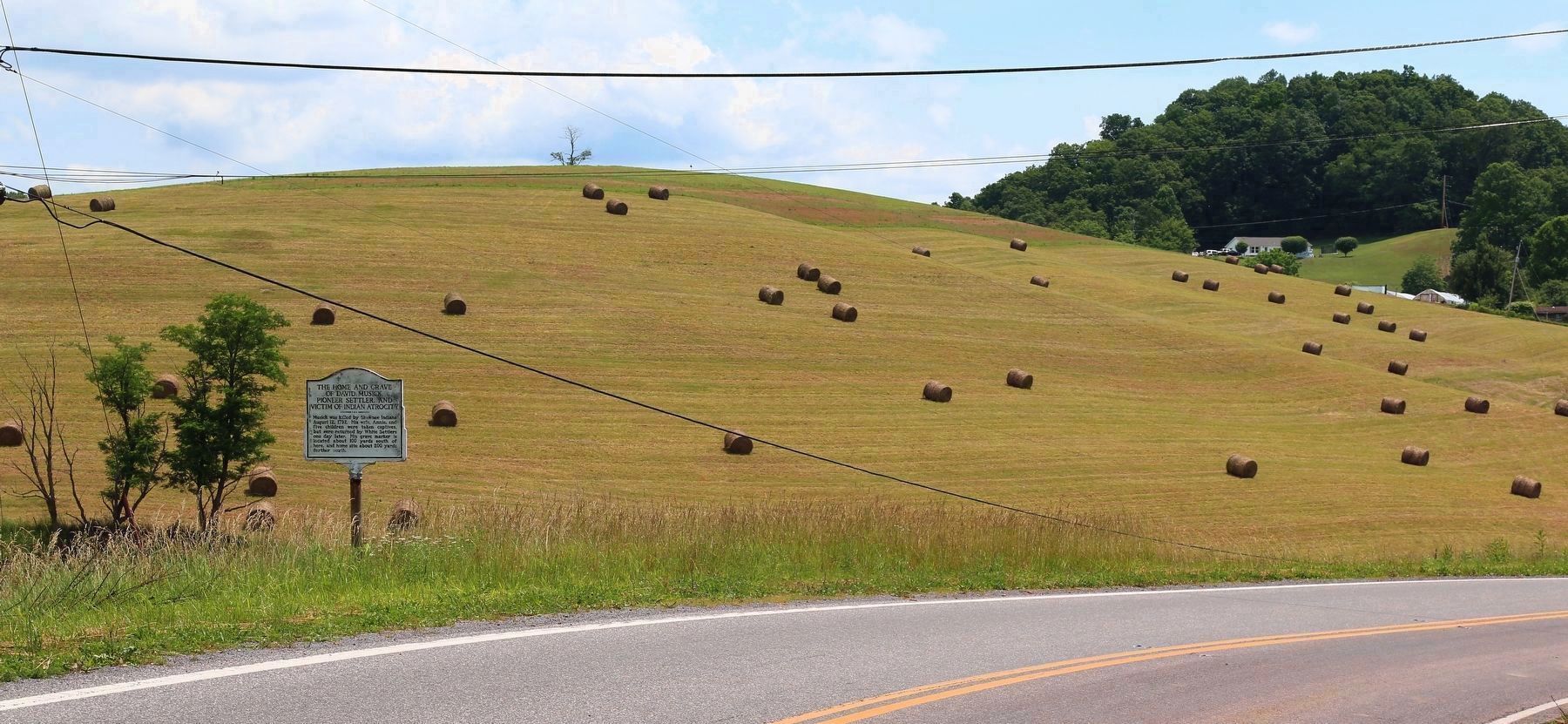
Photographed by J. J. Prats, June 10, 2017
2. The Home and Grave of David Musick Marker
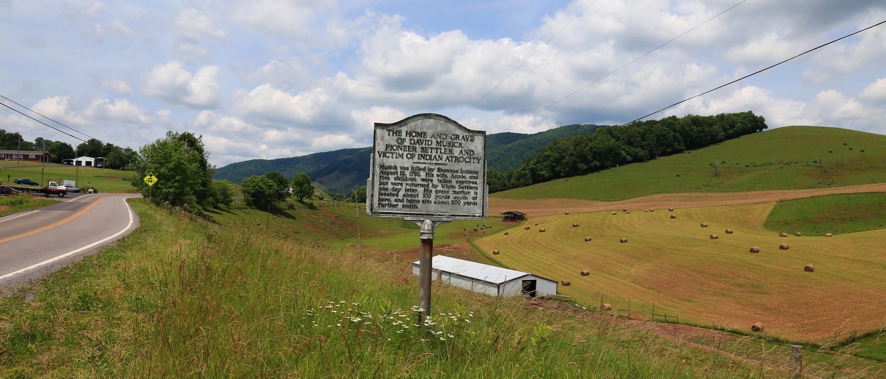
Photographed by J. J. Prats, June 10, 2017
3. The Home and Grave of David Musick Marker

Photo courtesy of SandyLC on FindaGrave.com, March 26, 2022
4. Another Marker of David Musick
This appears to be a memorial marker. Grave is known to be in the Combs Cemetery in Honaker, VA.
Credits. This page was last revised on September 3, 2025. It was originally submitted on July 2, 2017, by J. J. Prats of Powell, Ohio. This page has been viewed 2,564 times since then and 207 times this year. Photos: 1, 2, 3. submitted on July 2, 2017, by J. J. Prats of Powell, Ohio. 4. submitted on August 26, 2025, by Gina Rucker of Ashland, Kentucky.
Editor’s want-list for this marker. Photos of the grave and home site • Can you help?
