Carthage in Panola County, Texas — The American South (West South Central)
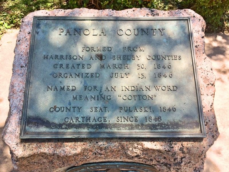
Panola County
Photographed by Mark Hilton, June 28, 2017
1. Panola County Marker
Harrison and Shelby Counties
Created March 30, 1846
Organized July 13, 1846
Named for an Indian word
meaning "cotton"
County Seat, Pulaski, 1846
Carthage, since 1848
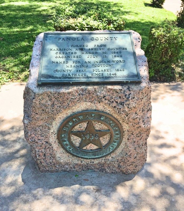
Erected 1936 by the State of Texas. (Marker Number 10839.)
Topics and series. This historical marker is listed in these topic lists: Indigenous Peoples and Communities • Political Subdivisions. In addition, it is included in the Texas 1936 Centennial Markers and Monuments series list. A significant historical date for this entry is March 30, 1846.
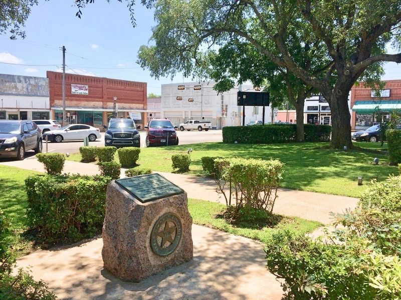
Location. 32° 9.425′ N, 94° 20.281′ W. Marker is in Carthage, Texas, in Panola County. It can be reached from the intersection of Shelby Street and East Panola Street (Business U.S. 79). Located on east side of the town square. Touch for map. Marker is at or near this postal address: 110 Shelby Street, Carthage TX 75633, United States of America. Touch for directions.

Regionally, this marker is in the American South, specifically in the Deep South, and in the Piney Woods. Globally, it is in North America, a Gulf of Mexico state, the Western Hemisphere, the Western World, and the Anglosphere. Historically, it finds itself in what was once New Spain, the Republic of Texas, one of the Confederate States of America, and the Antebellum South.
Other nearby markers. At least 8 other
this page online
More about this marker. This is one of the pink granite, 1936 Centennial Highway markers.
Also see . . . Wikipedia article on Panola County, Texas. (Submitted on July 2, 2017, by Mark Hilton of Montgomery, Alabama.)
Photographed by Mark Hilton, June 28, 2017
2. Panola County - 1936 Texas Centennial marker.
Photographed by Mark Hilton, June 28, 2017
3. Panola County Marker in the town square.
Credits. This page was last revised on July 2, 2017. It was originally submitted on July 2, 2017, by Mark Hilton of Montgomery, Alabama. This page has been viewed 780 times since then and 40 times this year. Photos: 1, 2, 3. submitted on July 2, 2017, by Mark Hilton of Montgomery, Alabama.
