Near Boissevain in Tazewell County, Virginia — The American South (Mid-Atlantic)
Moore Family
Inscription.
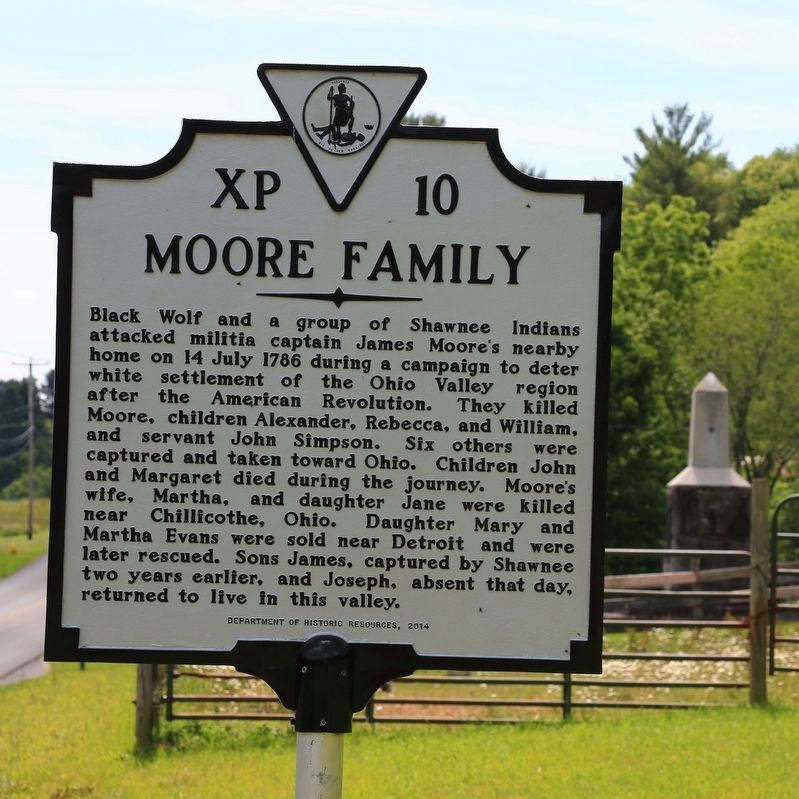
Black Wolf and a group of Shawnee Indians
attacked militia captain James Moore’s nearby
home on 14 July 1786 during a campaign to deter
white settlement of the Ohio Valley region
after the American Revolution. They killed
Moore, children Alexander, Rebecca, and William,
and servant John Simpson. Six others were
captured and taken toward Ohio. Children John
and Margaret died during the journey. Moore’s
wife, Martha. and daughter Jane were killed
near Chillicothe, Ohio. Daughter Mary and
Martha Evans were sold near Detroit and were
later rescued. Sons James, captured by Shawnee
two years earlier and Joseph, absent that day,
returned to live in this valley.
Erected 2014 by Department of Historic Resources. (Marker Number XP-10.)
Topics and series. This historical marker is listed in these topic lists: Settlements & Settlers • Wars, US Indian. In addition, it is included in the Virginia Department of Historic Resources (DHR) series list. A significant historical date for this entry is July 14, 1786.
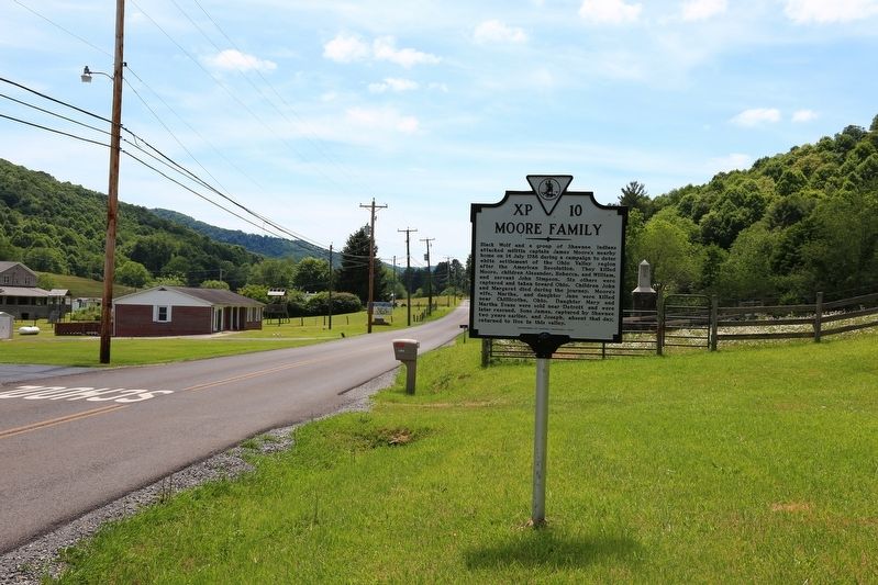
Location. 37° 16.116′ N, 81° 23.618′ W. Marker is near Boissevain, Virginia, in Tazewell County. Marker is at the intersection of Abbs Valley Road (County Route 644) and Wren Drive, on the left when traveling east on Abbs Valley Road. Touch for map . Marker is in this post office area: Boissevain VA 24606, United States of America. Touch for directions.
Other nearby markers. At least 8 other markers are within 5 miles of this marker, measured as the crow flies. Captain James Moore Monument (within shouting distance of this marker); Pocahontas Mine No. 1 (approx. 3.8 miles away); Town of Pocahontas Commercial District (approx. 3.9 miles away); Pocahontas (approx. 4.3 miles away); Abb’s Valley (approx. 4.3 miles away); Pocahontas Cemetery (approx. 4.3 miles away); Jordan Nelson’s Coal Bank (approx. 4½ miles away in West Virginia); Engagement at Falls Mills (approx. 4.6 miles away).
Also see . . . Masscare of Captain James Moore and His Family in Abbs Valley. Chapter from the unpublished manuscript Indian Atrocities Along the Clinch, Powell and Holston Rivers by Emory L. Hamilton. “In July, 1786, a party of 47 Indians of the Shawnee tribe, again entered Abb’s Valley. Captain James Moore kept 5 or 6 loaded guns in his house, which was a strong log building, and hoped, by the assistance of his wife, (Elizabeth) who was very active in loading a gun, together with Simpson, a man who lived with him, to be able to repel the attack of a small party of Indians. Relying on his prowess, he had not sought refuge in a fort; as many of the settlers had; a fact of which the Indians seem to have been aware.” (Submitted on July 3, 2017.)
Credits. This page was last revised on July 3, 2017. It was originally submitted on July 3, 2017, by J. J. Prats of Powell, Ohio. This page has been viewed 762 times since then and 119 times this year. Photos: 1, 2. submitted on July 3, 2017, by J. J. Prats of Powell, Ohio.

