Darien in McIntosh County, Georgia — The American South (South Atlantic)
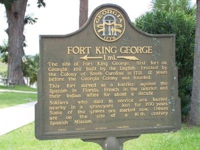
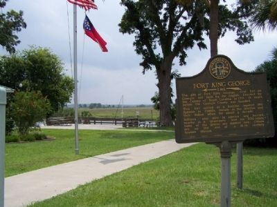
Fort King George
←—1 mi.—«
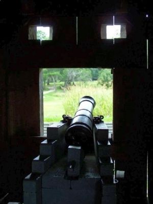
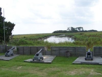
The site of fort King George, the first fort on Georgia soil built by the English. Erected by the Colony of south Carolina in 1721, 12 years before the Georgia Colony was founded.
This fort served as a barrier against the Spanish in Florida, French in the interior, and their Indian allies for about a decade.
Soldiers who died in service are buried nearby in a graveyard lost for 200 years. Some of the graves are marked now. Others are on the site of a 16th century Spanish Mission.
Erected 1952 by Georgia Historical Commission. (Marker Number 095-6A.)
Topics and series. This historical marker is listed in these topic lists: Colonial Era • Forts and Castles • Settlements & Settlers. In addition, it is included in the Georgia Historical Society series list. A significant historical year for this entry is 1721.
Location. 31° 22.103′ N, 81° 26.113′ W. Marker is in Darien, Georgia, in McIntosh County. Marker is on Ocean Highway (U.S. 17) near Fort King George Rd. (Georgia Highway 25), on the left when traveling south. Touch for map. Marker is in this post office area: Darien GA 31305, United States of America. Touch for directions.
Other nearby markers. At least 8 other markers are within walking distance of this marker. Port of Darien (within shouting distance of this marker); Fort Darien (within shouting distance of this marker); Darien Waterfront (within shouting distance of this marker); The Burning of Darien (about 400 feet away, measured in a direct line); Methodists at Darien (about 500 feet away); McIntosh County (about 700 feet away); Oglethorpe Oak (about 700 feet away); Vernon Square (about 700 feet away). Touch for a list and map of all markers in Darien.
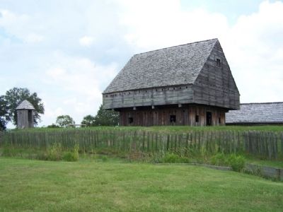
Regarding Fort King George. Fort King George (Georgia's oldest fort) was built in 1721, near what would become Darien. At the time it was the southern-most outpost of the British Empire in North America. The fort was abandoned in 1727 following attacks from the Spanish. (From Wikipedia)
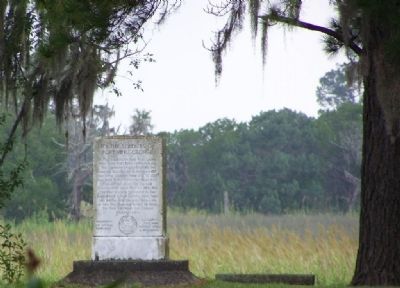
Photographed By Mike Stroud, 2008
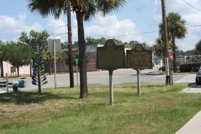
4. To the Soldiers of Fort King George
who gave their lives in defence of
the Southern English Frontier in
America During the occupation of
this little outpost from 1721 to 1727
and were buried upon this bluff. Fort
King George, built on the low ground
200 yards east of here, was the first
English settlement in the land which
is now Georgia. More than 140 British
soldiers lost their lives in the first
planned effort to hold the Old Southeast
for English speaking people.
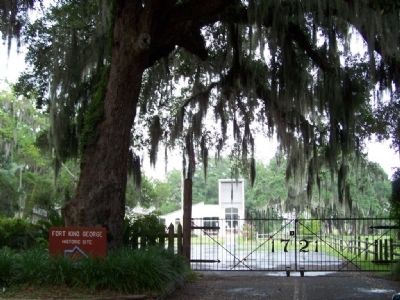
Photographed By Mike Stroud, August 17, 2008
5. Fort King George Site, Museum
31.364319, -81.416202 Fort site Coordinates
National Register of Historic Places nomination form:
Click for more information.
National Register of Historic Places nomination form:
Click for more information.
Credits. This page was last revised on October 10, 2021. It was originally submitted on August 20, 2008, by Mike Stroud of Bluffton, South Carolina. This page has been viewed 3,524 times since then and 57 times this year. Photos: 1, 2. submitted on August 20, 2008, by Mike Stroud of Bluffton, South Carolina. 3. submitted on September 17, 2011, by Mike Stroud of Bluffton, South Carolina. 4, 5. submitted on August 20, 2008, by Mike Stroud of Bluffton, South Carolina. 6, 7, 8. submitted on September 6, 2008, by Mike Stroud of Bluffton, South Carolina. • Kevin W. was the editor who published this page.
