West Bloomfield Township in Orchard Lake Village in Oakland County, Michigan — The American Midwest (Great Lakes)
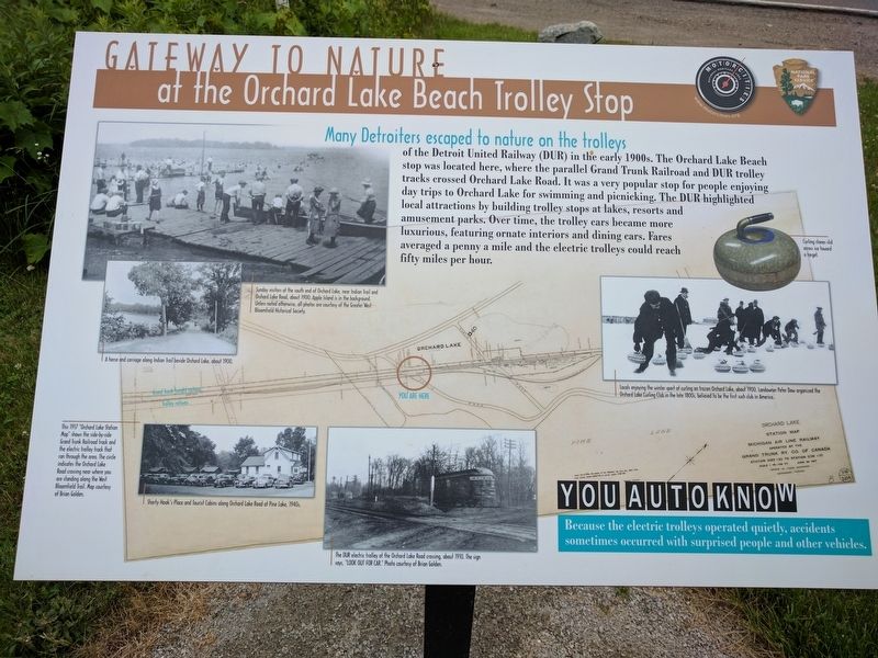
Gateway to Nature
at the Orchard Lake Beach Trolley Stop
Photographed by Joel Seewald, July 2, 2017
1. Gateway to Nature Marker
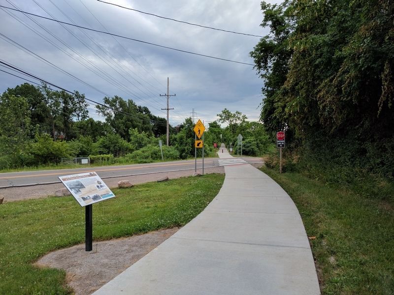
Many Detroiters escaped to nature on the trolleys
of the Detroit United Railway (DUR) in the early 1900s. The Orchard Lake Beach stop was located here, where the parallel Grand Trunk Railroad and DUR trolley tracks crossed Orchard Lake Road. It was a very popular stop for people enjoying day trips to Orchard Lake for swimming and picnicking. The DUR highlighted local attractions by building trolley stops at lakes, resorts and amusement parks. Over time, the trolley cars became more luxurious, featuring ornate interiors and dining cars. Fares averaged a penny a mile and the electric trolleys could reach fifty miles per hour.
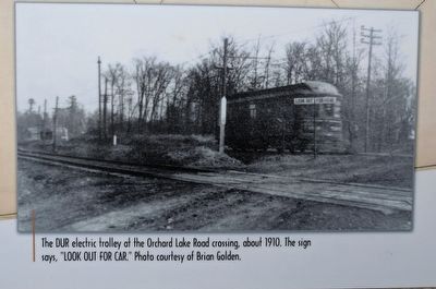
You Auto Know Because the elecctric trolleys operated quietly, accidents sometimes occurred with surprised people and other vehicles.
Erected by MotorCities National Heritage Area, National Park Service.
Topics and series. This historical marker is listed in this topic list: Railroads & Streetcars. In addition, it is included in the MotorCities National Heritage Area series list.
Location. 42° 35.204′ N, 83° 21.336′ W. Marker is in Orchard
this page online

Regionally, this marker is in Southeast Michigan and in Greater Detroit. It is also in the American Midwest. Globally, it is in North America, the Western Hemisphere, the Western World, and the Anglosphere. Historically, it finds itself in what was once the Northwest Territory.
Other nearby markers. At least 8 other markers are within walking distance of this marker: Apple Island: A Geological Rarity (a few steps from this marker); Apple Island (about 400 feet away, measured in a direct line); Waiting for the Trolleys (approx. 0.3 miles away); The Orchard Lake Museum (approx. 0.3 miles away); a different marker also named Apple Island (approx. 0.3 miles
Photographed by Joel Seewald, July 2, 2017
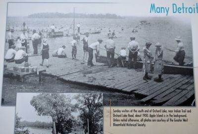
2. Upper Left Image
Sunday visitors at the south end of Orchard Lake, near Indian Trail and Orchard Lake Road, about 1900. Apple Island is in the background. Unless noted otherwise, all photos are courtesy of the Greater West Bloomfield Historical Society.
Photographed by Joel Seewald, July 2, 2017
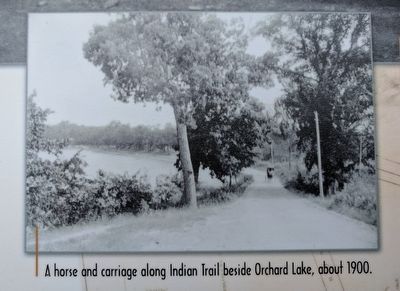
3. Middle Left Image
A horse and carriage along Indian Trail beside Orchard Lake, about 1900.
Photographed by Joel Seewald, July 2, 2017
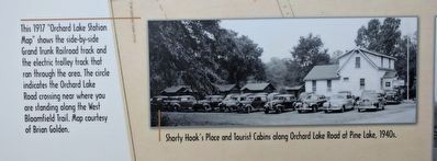
4. Lower Left Image
Shorty Hook's Place and Tourist Cabins along Orchard Lake Road at Pine Lake, 1940s.
Photographed by Joel Seewald, July 2, 2017
5. Map (detail)
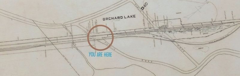
This 1917 "Orchard Lake Station Map" shows the side-by-side Grand Trunk Railroad track and the electric trolley track that ran through the area. The circle indicates the Orchard Lake Road crossing near where you are standing along the West Bloomfield Trail. Map courtesy of Brian Golden.
Photographed by Joel Seewald, July 2, 2017
6. Lower Middle Image
The DUR electric trolley at the Orchard Lake Road crossing, about 1910. The sign says, "LOOK OUT FOR CAR." Photo courtesy of Brian Golden.
Photographed by Joel Seewald, July 2, 2017
7. Right Images
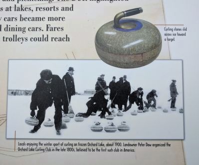
Top: Curling stones slid across ice toward a target. Bottom: Locals enjoying the winter sport of curling on frozen Orchard Lake, about 1900. Landowner Peter Dow organized the Orchard Lake Curling Club in the late 1800s, believed to be the first such club in America.
Photographed by Joel Seewald, July 2, 2017
8. Gateway to Nature Marker
Credits. This page was last revised on August 8, 2024. It was originally submitted on July 5, 2017, by Joel Seewald of Madison Heights, Michigan. This page has been viewed 399 times since then and 29 times this year. Photos: 1, 2. submitted on July 5, 2017, by Joel Seewald of Madison Heights, Michigan. 3, 4, 5, 6, 7, 8. submitted on July 6, 2017, by Joel Seewald of Madison Heights, Michigan.
