Derwood in Montgomery County, Maryland — The American Northeast (Mid-Atlantic)
Agricultural History Farm Park
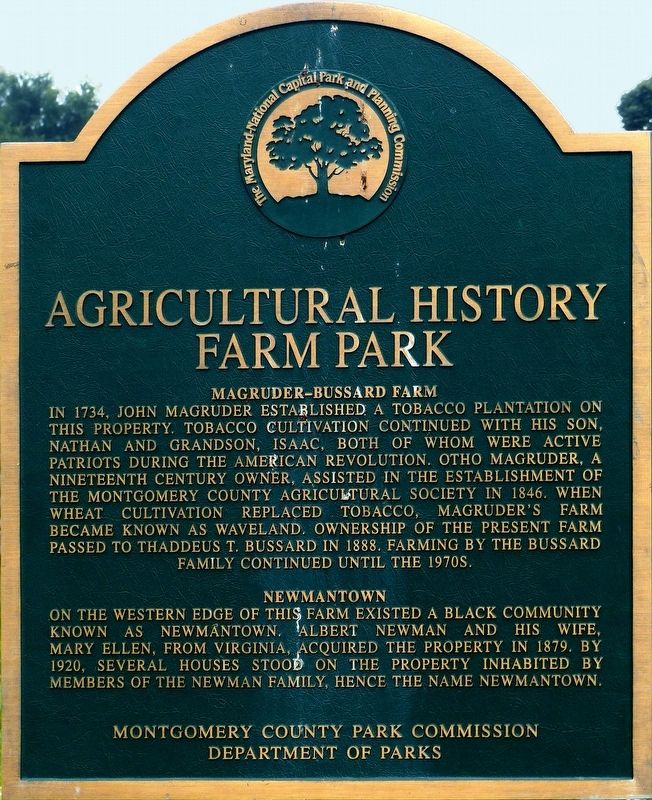
Photographed by Allen C. Browne, July 5, 2017
1. Agricultural History Farm Park Marker
Erected by Montgomery County Park Commission, Department of Parks.
Topics and series. This historical marker is listed in these topic lists: African Americans • Agriculture • Settlements & Settlers. In addition, it is included in the Maryland, Montgomery Parks
this page online
Location. 39° 9.746′ N, 77° 7.921′ W. Marker is in Derwood, Maryland, in Montgomery County. It is on Rock Creek Park Road 0.3 miles north of Muncaster Road, on the right when traveling north. The marker is on the grounds of the Agricultural History Farm Park. Touch for map. Marker is at or near this postal address: 18410 Rock Creek Park Rd, Derwood MD 20855, United States of America. Touch for directions.

Regionally, this marker is in the Washington Metropolitan Area. It is also in the American Mid-Atlantic. Globally, it is in North America, the Western Hemisphere, the Western World, and the Anglosphere. Historically, it finds itself in what was once one of the original Thirteen Colonies and also the Antebellum South.
Other nearby markers. At least 8 other markers are within walking distance of this marker: Bank Barn (about 500 feet away, measured in a direct line); Childhood and Slavery in Maryland (about 600 feet away); Carriage Shed (about 600 feet away); Maintenance Shed (about 600 feet away); Farming and Labor in Montgomery County (about 600 feet away); Granary
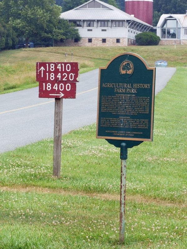
Photographed by Allen C. Browne, July 5, 2017
2. Agricultural History Farm Park Marker
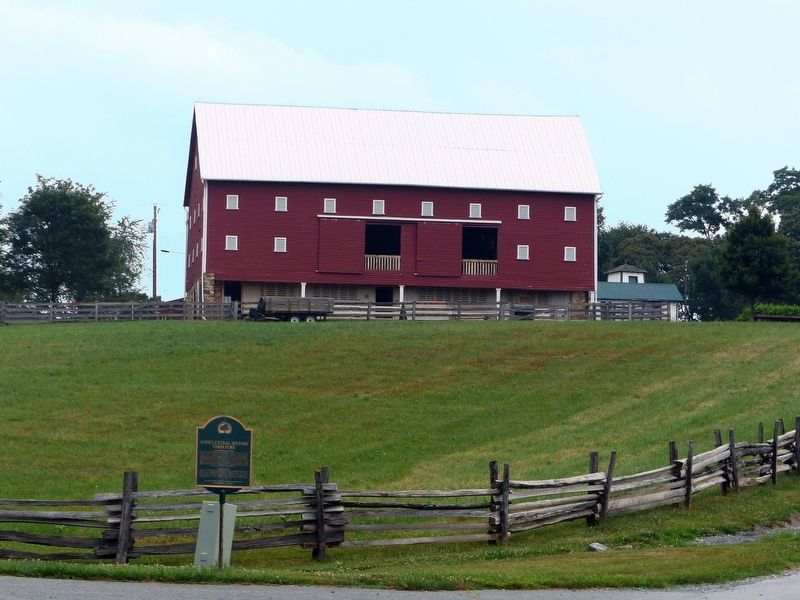
Photographed by Allen C. Browne, July 5, 2017
3. Agricultural History Farm Park Marker
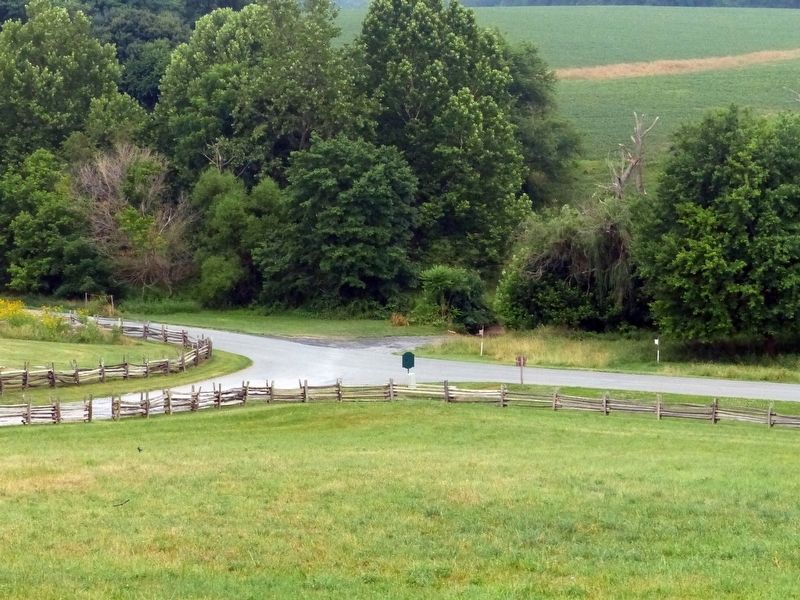
Photographed by Allen C. Browne, July 5, 2017
4. Agricultural History Farm Park Marker
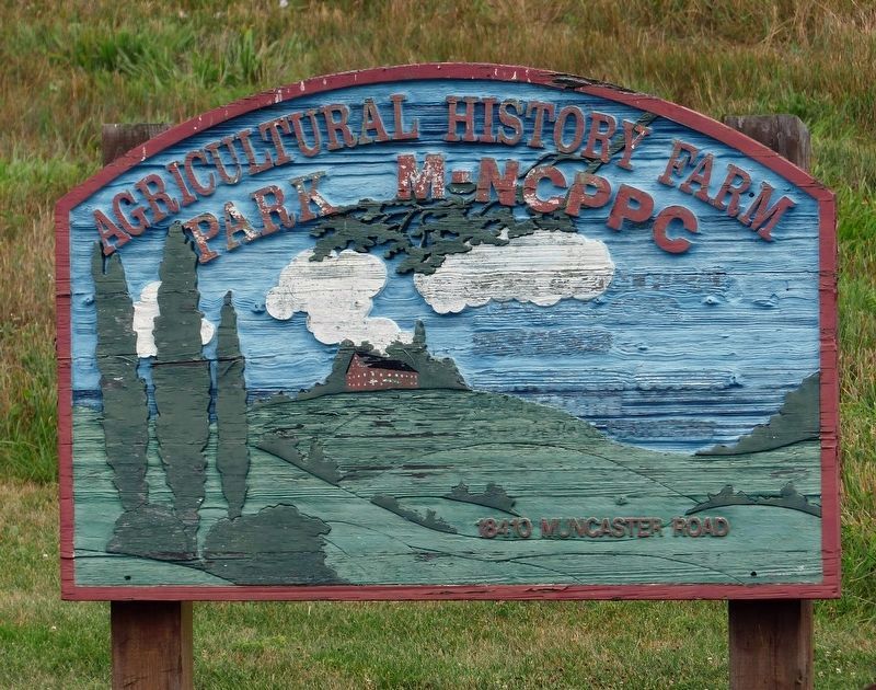
Photographed by Allen C. Browne, July 5, 2017
5. Agricultural History Farm Park Sign
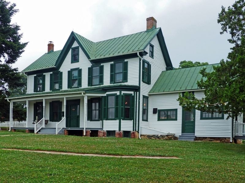
Photographed by Allen C. Browne, July 5, 2017
6. Bussard House
Credits. This page was last revised on May 14, 2022. It was originally submitted on July 6, 2017, by Allen C. Browne of Silver Spring, Maryland. This page has been viewed 792 times since then and 54 times this year. Photos: 1, 2, 3, 4, 5, 6. submitted on July 6, 2017, by Allen C. Browne of Silver Spring, Maryland. • Bernard Fisher was the editor who published this page.
