Crosbyton in Crosby County, Texas — The American South (West South Central)
Crosbyton Cemetery
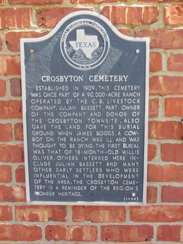
Photographed by Bill Kirchner, June 9, 2017
1. Crosbyton Cemetery Marker
Erected 1984 by Texas Historical Commission. (Marker Number 1117.)
Topics. This historical marker is listed in this topic list: Cemeteries & Burial Sites. A significant historical year for this entry is 1909.
Location. 33° 39.454′ N, 101° 12.608′ W. Marker is in Crosbyton, Texas, in Crosby County. It is on U.S. 82 one mile east of Front Street, on the right when traveling west. Touch for map. Marker is in this post office area: Crosbyton TX 79322, United States of America. Touch for directions.

Regionally, this marker is on Texas’ South Plains. It is
this page online
Other nearby markers. At least 8 other markers are within 2 miles of this marker, measured as the crow flies: Julian M. Bassett (within shouting distance of this marker); Lamar Family (about 400 feet away, measured in a direct line); J. J. Pierce (about 400 feet away); Crosby County (approx. 1.6 miles away); The Rock House (approx. 1.7 miles away); Crosbyton (approx. 1.7 miles away); Work Building (approx. 1.7 miles away); Henry Clay Smith (approx. 1.7 miles away). Touch for a list and map of all markers in Crosbyton.
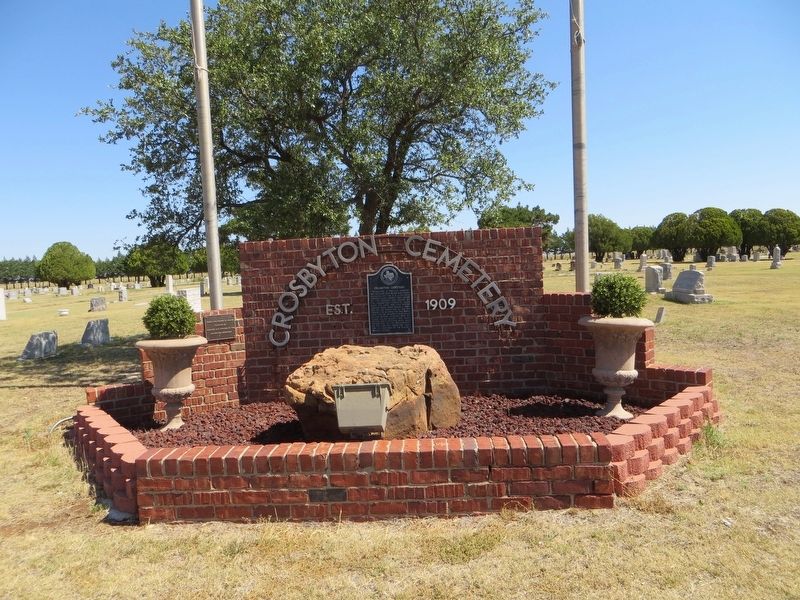
Photographed by Bill Kirchner, June 9, 2017
2. Crosbyton Cemetery Marker
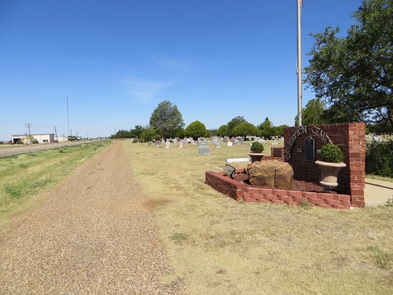
Photographed by Bill Kirchner, June 9, 2017
3. Crosbyton Cemetery Marker
View west on highway US-82.
Credits. This page was last revised on July 7, 2017. It was originally submitted on July 7, 2017, by Bill Kirchner of Tucson, Arizona. This page has been viewed 691 times since then and 37 times this year. Photos: 1, 2, 3. submitted on July 7, 2017, by Bill Kirchner of Tucson, Arizona.
