Soda Springs in Nevada County, California — The American West (Pacific Coastal)
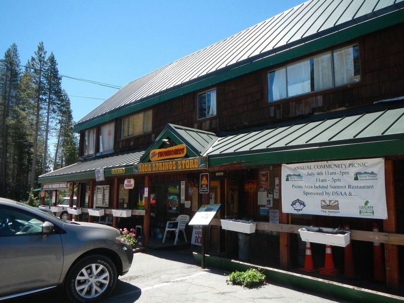
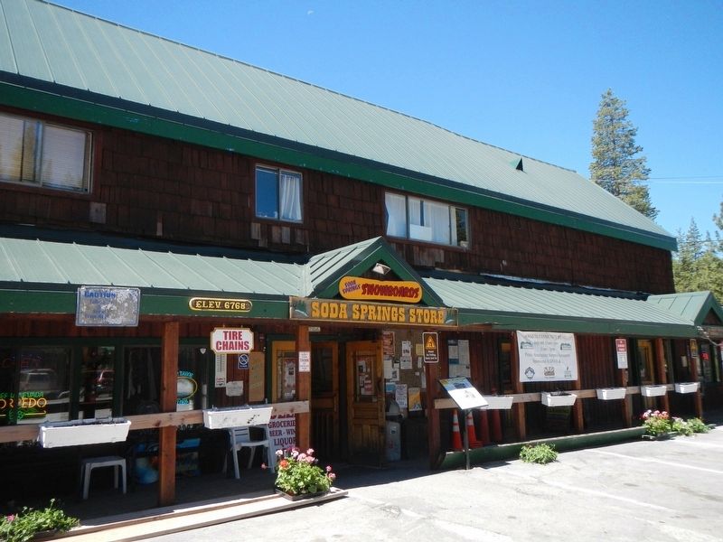
Soda Springs Store
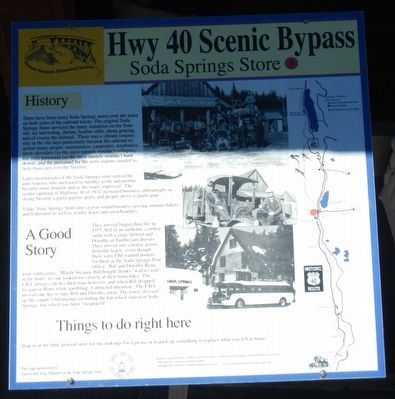
Hwy 40 Scenic Bypass
There have been many Soda Springs stores over the years on both sides of the railroad tracks. The original Soda Springs Store serviced the many industries on the Summit: ice harvesting, diaries, lumber mills, sheep grazing, and of course the railroad. There was a vibrant community in the old days particularly because the railroad required many people: maintenance, carpenters, mechanics, snow shovelers (so the snow tunnels wouldn't collapse), fire train personnel (so the snow tunnels wouldn't burn down), and the personnel for extra engines needed to help trains get over the Summit.
Later incarnations of the Soda Springs store served the auto tourists who increased in number as the automobile became more popular and the roads improved. The winter opening of Highway 40 in 1932 increased business substantially as skiing became a participation sports and people drove to participate.
Today Soda Springs Store does a year-round business serving summer hikers and fishermen as well as winter skiers and snowboarders.
They arrived bigger than life in 1955, Bill in an authentic cowboy outfit and a large stetson and Dorothy in flamboyant dresses. They move into a house across from the hotel - even though there were FBI wanted posters for them in the Soda Springs Post Office. Bill and Dorothy Ryan were embezzlers. Maybe because Bill bought drinks "wall to wall" in the hotel, no one looks too closely at their bona fides. The F.B.I. alway catches their man however, and when Bill dropped his gun in Reno while gambling, it attracted attention. The F.B.I. arrived one day to take Bill and Dorothy away. The town "divvied" up the couple's belongings including the hat which stayed in Soda Springs, but which has been "misplaced."
Stop in at the little general store for the makings for a picnic or to pick up something to replace what you left at home.
Erected by Donner Summit Historical Society. (Marker Number 8.)
Topics and series. This historical marker is listed in these topic lists: Industry & Commerce • Roads & Vehicles. In addition, it is included in the Donner Summit Historical Society series list. A significant historical year for this entry is 1932.
Location. 39° 19.452′ N, 120° 23.016′ W. Marker is in Soda Springs, California, in Nevada County. Marker is on Donner Pass Road near Lola Montez Lane, on the right when traveling east. Touch for map. Marker is at or near this postal address: 21715 Donner Pass Road, Soda Springs CA 95728, United States of America. Touch for directions.
Other nearby markers. At least 8 other markers are within 2 miles of this marker, measured as the crow flies. Soda Springs Hotel (approx. ¼ mile away); Donner Summit Lodge (approx. 0.3 miles away); Lake Van Norden Dam (approx. 0.4 miles away); Summit Valley Native American Mortars (approx. 0.7 miles away); Truckee Trail - Leaving Summit Valley (approx. 0.8 miles away); Emigrant Wagon Route (approx. 0.8 miles away); Central Sierra Snow Lab (approx. 0.8 miles away); Dutch Flat Donner Lake Wagon Road (approx. 1.3 miles away). Touch for a list and map of all markers in Soda Springs.
Credits. This page was last revised on July 8, 2017. It was originally submitted on July 7, 2017, by Barry Swackhamer of Brentwood, California. This page has been viewed 297 times since then and 14 times this year. Photos: 1, 2, 3. submitted on July 7, 2017, by Barry Swackhamer of Brentwood, California.


