Corona in Riverside County, California — The American West (Pacific Coastal)
Corona Historic Preservation Society
Corona Foothill Lemon Ranch
| — | Historic Site #12 | — |
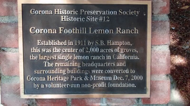
Photographed by Lane Parker, July 6, 2017
1. Corona Historic Preservation Society Historic Site #12 Marker
Erected 2000 by Corona Historic Preservation Society. (Marker Number 12.)
Topics. This historical marker is listed in these topic lists: Agriculture • Horticulture & Forestry. A significant historical date for this entry is December 7, 2000.
Location. 33° 50.719′ N, 117° 34.602′ W. Marker is in Corona, California, in Riverside County. It is on West Foothill Parkway 0.1 miles east of Highgrove Street, on the right when traveling east. Between Highgrove Street and South Main Street. Touch for map. Marker is at or near this postal address: 510 West Foothill Parkway, Corona CA 92882, United States of America. Touch for directions.

Regionally, this marker is in Greater Los Angeles, in the Inland Empire, and in the Peninsular Ranges. It is also in the American Southwest. Globally, it is in North America, on the Ring of Fire, on the Pacific Rim,
this page online
Other nearby markers. At least 8 other markers are within 3 miles of this marker, measured as the crow flies: Lemonia Grove (approx. 1.8 miles away); Woman's Improvement Club (approx. 1.8 miles away); Thomas Jefferson Elementary School (approx. 1.8 miles away); Corona's 1-Mile Diameter Grand Boulevard Historic District (approx. 1.9 miles away); Andrew Carnegie Library (approx. 2 miles away); First Baptist Church of Corona (approx. 2 miles away); Corona High School (approx. 2.2 miles away); Corona's Final Road Race - Start/Finish Line April 8, 1916 (approx. 2.3 miles away). Touch for a list and map of all markers in Corona.
Also see . . . Corona Heritage Park and Museum. (Submitted on July 9, 2017, by Lane Parker of San Francisco, California.)
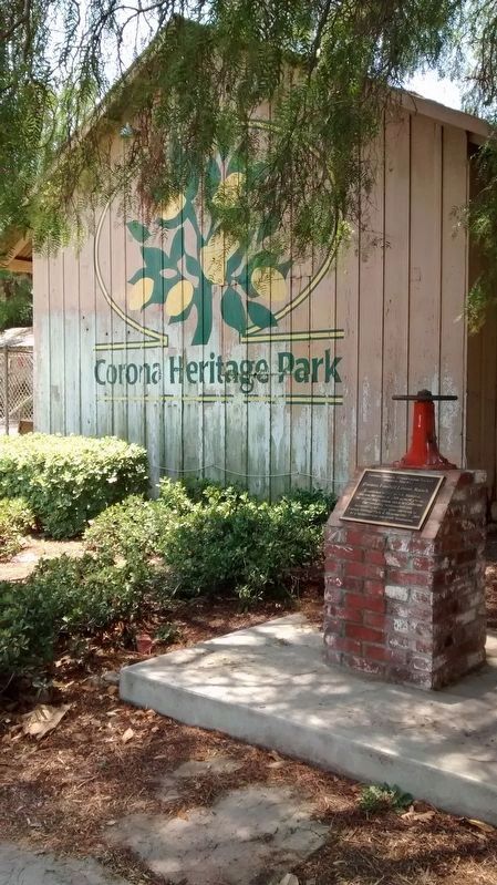
Photographed by Lane Parker, July 6, 2017
2. North-facing exterior of Corona Heritage Park ceramic studio building with Marker in foreground.
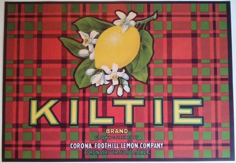
Lane Parker collection, July 9, 2017
3. Packing crate label, Corona Foothill Lemon Company
Credits. This page was last revised on July 16, 2017. It was originally submitted on July 8, 2017, by Lane Parker of San Francisco, California. This page has been viewed 662 times since then and 75 times this year. Photos: 1. submitted on July 8, 2017, by Lane Parker of San Francisco, California. 2. submitted on July 10, 2017, by Lane Parker of San Francisco, California. 3. submitted on July 9, 2017, by Lane Parker of San Francisco, California. • Syd Whittle was the editor who published this page.
