Plymouth in Luzerne County, Pennsylvania — The American Northeast (Mid-Atlantic)
Agnes Flood Line
June 23, 1972
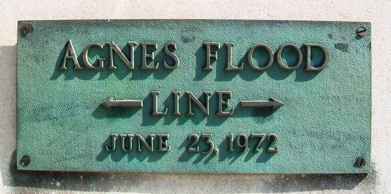
Photographed by William Fischer, Jr., June 26, 2017
1. Agnes Flood Line Marker
Topics. This historical marker is listed in these topic lists: Disasters • Religion & Religious Structures • Waterways & Vessels.
Location. 41° 14.571′ N, 75° 56.687′ W. Marker is in Plymouth, Pennsylvania, in Luzerne County. It is at the intersection of Willow Street and Eno Street, on the right when traveling east on Willow Street. Marker is at the entrance to All Saints Catholic Church, formerly Nativity of the Blessed Virgin Mary Catholic Church. Touch for map. Marker is at or near this postal address: 66 Willow Street, Plymouth PA 18651, United States of America. Touch for directions.

Regionally, this marker is in Pennsylvania’s Anthracite Coal Region, in the Wyoming Valley, and in Greater Scranton and Wilkes-Barre. It is also in the American Northeast, in the Mid-Atlantic, in Appalachia, and specifically in Northern Appalachia. Globally, it is in North America, the Western Hemisphere, the Western World, and the Anglosphere. Historically, it finds itself in what was once the Haudenosaunee (Iroquois) Confederacy and also
this page online
Other nearby markers. At least 8 other markers are within walking distance of this marker: Gulf War Memorial (about 700 feet away, measured in a direct line); War Memorial (about 700 feet away); Zinzendorf Preached to Wyoming Valley Indians (about 800 feet away); Coal Miners Memorial (approx. 0.2 miles away); Arthur Horace James (1883-1973) (approx. 0.2 miles away); Sergeant Sherwood Baker (approx. 0.3 miles away); Vietnam War Memorial (approx. 0.3 miles away); 28th Infantry Division Memorial (approx. 0.3 miles away). Touch for a list and map of all markers in Plymouth.
Also see . . .
1. Cities Under Water, Under Siege: Hurricane Agnes. (Submitted on July 8, 2017, by William Fischer, Jr. of Reynoldsburg, Ohio.)
2. Susquehanna River, PA Hurricane Agnes Flood of 1972. (Submitted on July 8, 2017, by William Fischer, Jr. of Reynoldsburg, Ohio.)
3. Plymouth July 1972 after Agnes Flood at YouTube. (Submitted on July 8, 2017, by William Fischer, Jr. of Reynoldsburg, Ohio.)
4. Hurricane Agnes documentary on WBRE-TV (1992) Full on YouTube. (Submitted on July 8, 2017, by William Fischer, Jr. of Reynoldsburg, Ohio.)
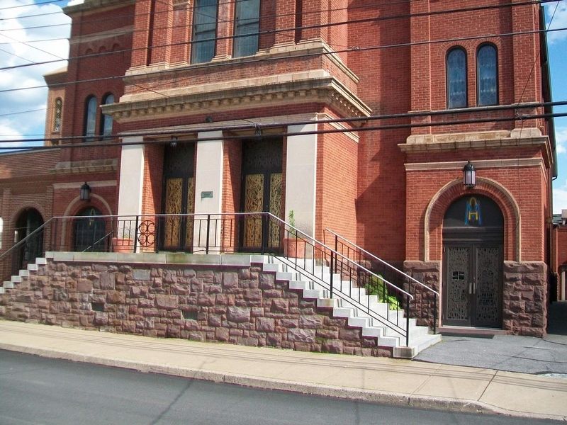
Photographed by William Fischer, Jr., June 26, 2017
2. Agnes Flood Line Marker on All Saints Catholic Church
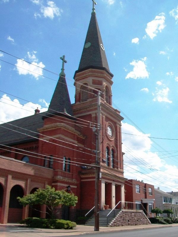
Photographed by William Fischer, Jr., June 26, 2017
3. Agnes Flood Line Marker
Credits. This page was last revised on July 8, 2017. It was originally submitted on July 8, 2017, by William Fischer, Jr. of Reynoldsburg, Ohio. This page has been viewed 551 times since then and 32 times this year. Photos: 1, 2, 3. submitted on July 8, 2017, by William Fischer, Jr. of Reynoldsburg, Ohio.
