Washington in Adams County, Mississippi — The American South (East South Central)
Foster Mounds
— Mississippi Mound Trail —
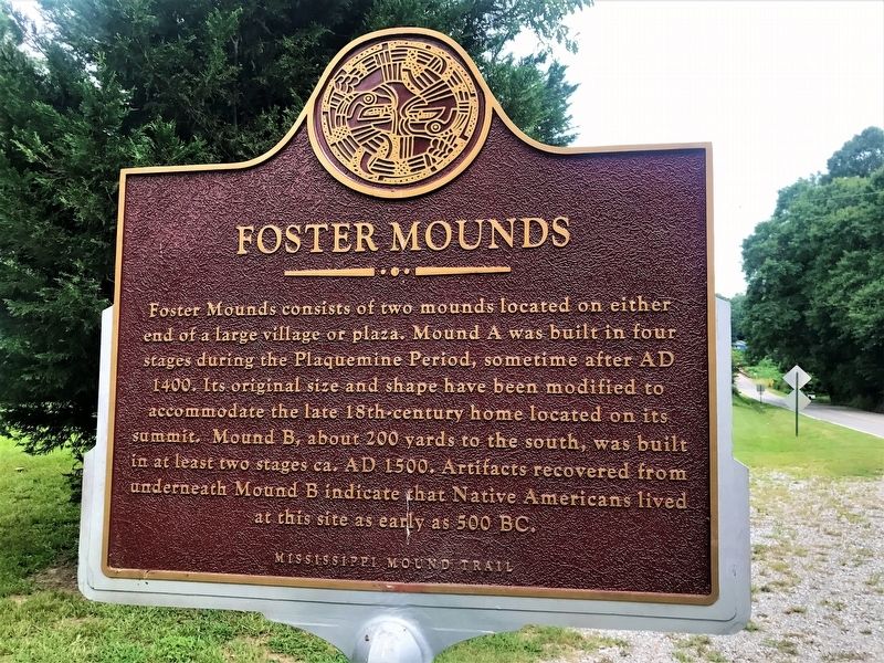
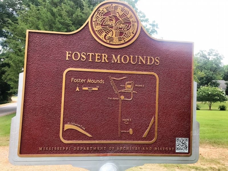
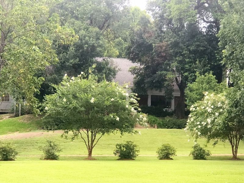
Foster Mounds consists of two mounds located on either end of a large village or plaza. Mound A was built in four stages during the Plaquemine Period, sometime after AD 1400. Its original size and shape have been modified to accommodate the late 18th-century home located on its summit. Mound B, about 200 yards to the south, was built in at least two stages ca, AD 1500. Artifacts recovered from underneath Mound B indicate that Native Americans lived at this site as early as 500 BC.
Lower Plaque
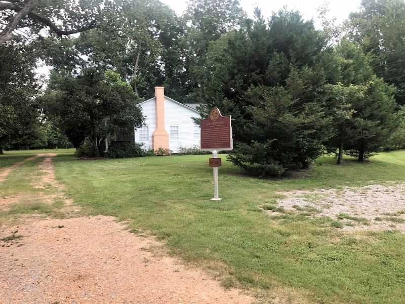
This archaeological site is on private property. Please view from the pull-off area.
NO TRESPASSING
Erected by Mississippi Department of Archives and History.
Topics and series. This historical marker is listed in these topic lists: Anthropology & Archaeology • Native Americans • Settlements & Settlers. In addition, it is included in the Mississippi Mound Trail series list. A significant historical year for this entry is 500 BCE.
Location. 31° 36.009′ N, 91° 19.71′ W. Marker is in Washington, Mississippi, in Adams County. Marker is on Foster Mounds Road, half a mile south of Steam Plant Road, on the right when traveling north. Touch for map. Marker is in this post office area: Washington MS 39190, United States of America. Touch for directions.
Other nearby markers. At least 8 other markers are within 3 miles of this marker , measured as the crow flies. Washington Campground (approx. 2.2 miles away); Jefferson Military College (approx. 2.2 miles away); Andrew Jackson at Washington (approx. 2.2 miles away); Washington (approx. 2.2 miles away); Dr. John W. Monette (approx. 2.2 miles away); The President's House (approx. 2.2 miles away); Site of Assembly Hall (approx. 2.3 miles away); Pine Ridge Presbyterian Church (approx. 2.4 miles away). Touch for a list and map of all markers in Washington.
Credits. This page was last revised on October 28, 2023. It was originally submitted on July 9, 2017, by Cajun Scrambler of Assumption, Louisiana. This page has been viewed 414 times since then and 48 times this year. Photos: 1, 2, 3. submitted on July 9, 2017, by Cajun Scrambler of Assumption, Louisiana. 4. submitted on July 9, 2017.


