Gatlinburg in Sevier County, Tennessee — The American South (East South Central)
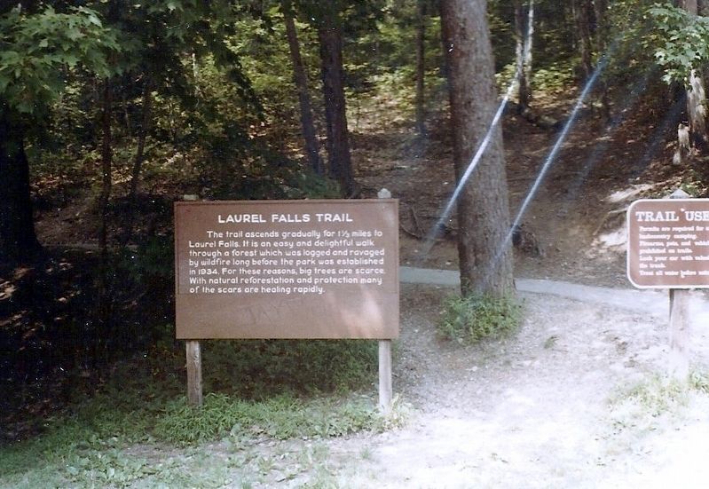
Laurel Falls Trail
Erected by National Park Service.
Topics. This historical marker is listed in this topic list: Natural Features. A significant historical year for this entry is 1934.
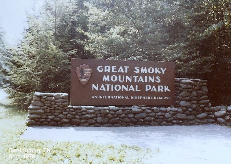
Location. 35° 40.317′ N, 83° 34.844′ W. Marker is in Gatlinburg, Tennessee, in Sevier County. Marker is on Little River Road aka Fighting Creek Gap Road. The marker is located in Great Smokey Mountains National Park. It is 3.5 miles west from the Sugarlands Visitor Center. Touch for map. Marker is in this post office area: Gatlinburg TN 37738, United States of America. Touch for directions.
Other nearby markers. At least 8 other markers are within 2 miles of this marker, measured as the crow flies. Wonderland Hotel (approx. 0.8 miles away); Elkmont Historic District: Appalachian Club (approx. 1.2 miles away); Quite a Social Place (approx. 1.2 miles away); The Appalachian Club (approx. 1.2 miles away); Appalachian Clubhouse (approx. 1.3 miles away); Spence Cabin (approx. 1.3 miles away); Rare Mountain Forest (approx. 1.3 miles away); Daisy Town's Eclectic Architecture (approx. 1.3 miles away). Touch for a list and map of all markers in Gatlinburg.
Credits. This page was last revised on July 11, 2017. It was originally submitted on July 10, 2017, by Don Morfe of Baltimore, Maryland. This page has been viewed 242 times since then and 18 times this year. Photos: 1, 2, 3, 4, 5. submitted on July 10, 2017, by Don Morfe of Baltimore, Maryland. • Bill Pfingsten was the editor who published this page.
