Near Mansfield in De Soto Parish, Louisiana — The American South (West South Central)
Battle of Mansfield or Sabine Cross Roads
April 8, 1864
| — | Area of Second Confederate Charge | — |
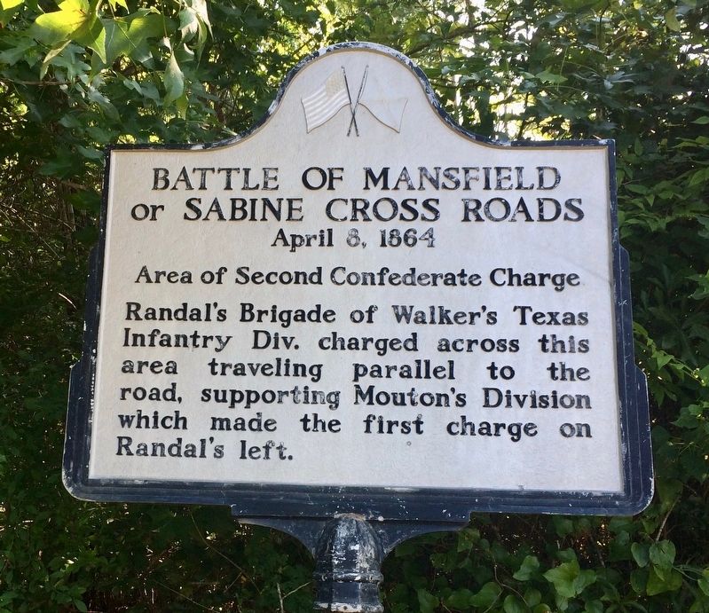
Photographed by Mark Hilton, June 28, 2017
1. Battle of Mansfield or Sabine Cross Roads Marker
Erected by the State of Louisiana.
Topics. This historical marker is listed in this topic list: War, US Civil.
Location. 32° 0.685′ N, 93° 40.07′ W. Marker is near Mansfield, Louisiana, in De Soto Parish. It is on Louisiana Route 175 north of Parish Road 48, on the right when traveling north. Located just north of Battlefield entrance. Touch for map. Marker is at or near this postal address: 15149 LA-175, Mansfield LA 71052, United States of America. Touch for directions.

Regionally, this marker is in North Louisiana. It is also in the American South, specifically in the Deep South, and in the Piney Woods. Globally, it is in North America, a Gulf of Mexico state, the Western Hemisphere, the Western World, and the Anglosphere. Historically, it finds itself in what was once the territory of the Mississippian Culture, the Louisiana Purchase, one of the Confederate States of
this page online
Other nearby markers. At least 8 other markers are within walking distance of this marker: Battle of Mansfield or Sabine Cross Roads (within shouting distance of this marker); Mansfield Battle Park (about 300 feet away, measured in a direct line); General Alfred Mouton Monument (about 400 feet away); General Dick Taylor Monument (about 400 feet away); James H. Beard Monument (about 500 feet away); Captain Seth Roberts Field Monument (about 500 feet away); a different marker also named Battle of Mansfield or Sabine Cross Roads (about 700 feet away); Texas Monument (approx. 0.2 miles away). Touch for a list and map of all markers in Mansfield.
Also see . . . Wikipedia article on the Battle of Mansfield. (Submitted on July 10, 2017, by Mark Hilton of Montgomery, Alabama.)
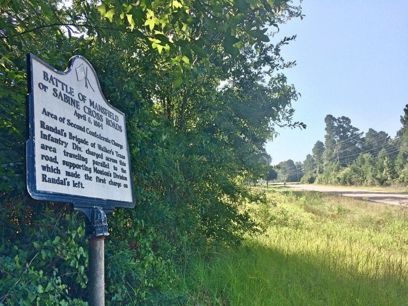
Photographed by Mark Hilton, June 28, 2017
2. Battle of Mansfield State Historic Site on far left just beyond the tree.
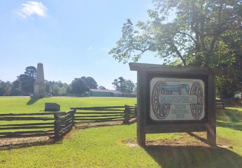
Photographed by Mark Hilton, June 28, 2017
3. Battle of Mansfield State Historic Site.
Credits. This page was last revised on July 12, 2017. It was originally submitted on July 10, 2017, by Mark Hilton of Montgomery, Alabama. This page has been viewed 737 times since then and 29 times this year. Photos: 1, 2, 3. submitted on July 10, 2017, by Mark Hilton of Montgomery, Alabama.
