Old Pleasant Hill in De Soto Parish, Louisiana — The American South (West South Central)
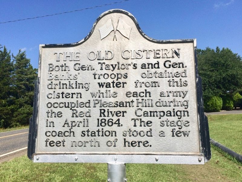
The Old Cistern
Erected by the State of Louisiana.
Topics. This historical marker is listed in these topic lists: Roads & Vehicles • War, US Civil. A significant historical month for this entry is April 1864.
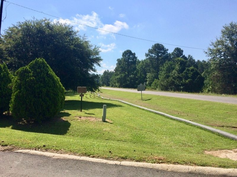
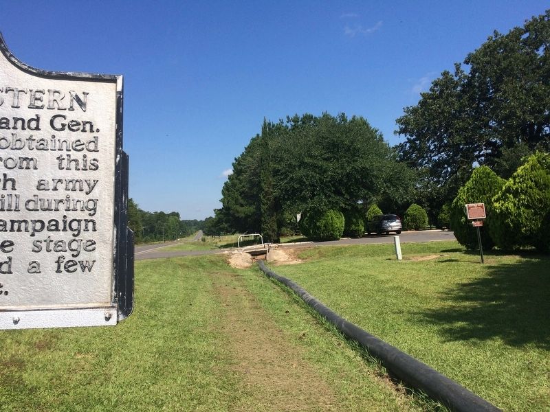
Location. 31° 51.191′ N, 93° 30.819′ W. Marker is in Old Pleasant Hill, Louisiana, in De Soto Parish. Marker is at the intersection of Louisiana Route 175 and Parish Road 1068, on the right when traveling north on State Route 175. Touch for map. Marker is at or near this postal address: 23271 LA-175, Pelican LA 71063, United States of America. Touch for directions.
Other nearby markers. At least 8 other markers are within walking distance of this marker. Battle of Pleasant Hill Memorial (a few steps from this marker); Old Pleasant Hill (a few steps from this marker); Pleasant Hill Battle Park (a few steps from this marker); Account of the Battle of Pleasant Hill (within shouting distance of this marker); Road to Cemetery (within shouting distance of this marker); Pleasant Hill Battlefield (within shouting distance of this marker); Confederate and Union Soldier Memorial (within shouting distance of this marker); Headquarters Department of the Gulf / Headquarters Trans-Mississippi Dept. (within shouting distance of this marker). Touch for a list and map of all markers in Old Pleasant Hill.
Also see . . . Wikipedia article on the Battle of Pleasant Hill. (Submitted on July 12, 2017, by Mark Hilton of Montgomery, Alabama.)
Credits. This page was last revised on July 12, 2017. It was originally submitted on July 12, 2017, by Mark Hilton of Montgomery, Alabama. This page has been viewed 428 times since then and 41 times this year. Photos: 1, 2, 3, 4. submitted on July 12, 2017, by Mark Hilton of Montgomery, Alabama.


