Bass Harbor in Hancock County, Maine — The American Northeast (New England)
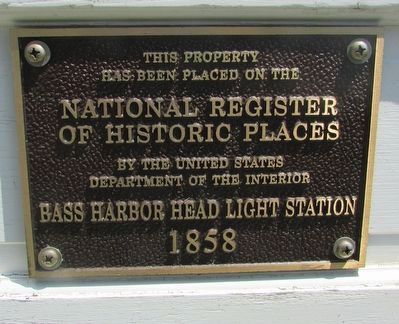
Bass Harbor Head Light Station
1858
Photographed by Bill Coughlin, July 12, 2017
1. Bass Harbor Head Light Station Marker
has been placed on the
National Register
of Historic Places
by the United States
Department of the Interior
Bass Harbor Head Light Station
1858
Erected by US Department of the Interior.
Topics and series. This historical marker is listed in these topic lists: Communications • Waterways & Vessels. In addition, it is included in the Lighthouses series list.
Location. 44° 13.324′ N, 68° 20.245′ W. Marker is in Bass Harbor, Maine, in Hancock County. It can be reached from Lighthouse Road, on the left when traveling south. Marker is in Acadia National Park. Touch for map. Marker is in this post office area: Bass Harbor ME 04653, United States of America. Touch for directions.

Regionally, this marker is on Mount Desert Island and in Downeast Maine. It is also in the American Northeast, in New England, and on the Eastern Seaboard. Globally, it is in the North Atlantic Region, North America, the Great North Woods, the Western Hemisphere, the Western World, and the Anglosphere. Historically, it finds itself in what was once the Viceroyalty of New France
this page online
Other nearby markers. At least 8 other markers are within 7 miles of this marker, measured as the crow flies: Mariners Beware! (here, next to this marker); Bass Harbor Head Light (a few steps from this marker); A Steadfast Light (a few steps from this marker); a different marker also named Bass Harbor Head Light (within shouting distance of this marker); Natural Seawall (approx. 2.1 miles away); Joseph T. Musetti Jr. Veterans Memorial Park (approx. 5.6 miles away); Carroll Homestead (approx. 5.7 miles away); Roads to Discoveries (approx. 6.8 miles away). Touch for a list and map of all markers in Bass Harbor.
Another marker is no longer nearby. Carriage Roads - Building the Roads (was approx. 6.7 miles away but has been confirmed missing).
Photographed by Bill Coughlin, July 12, 2017
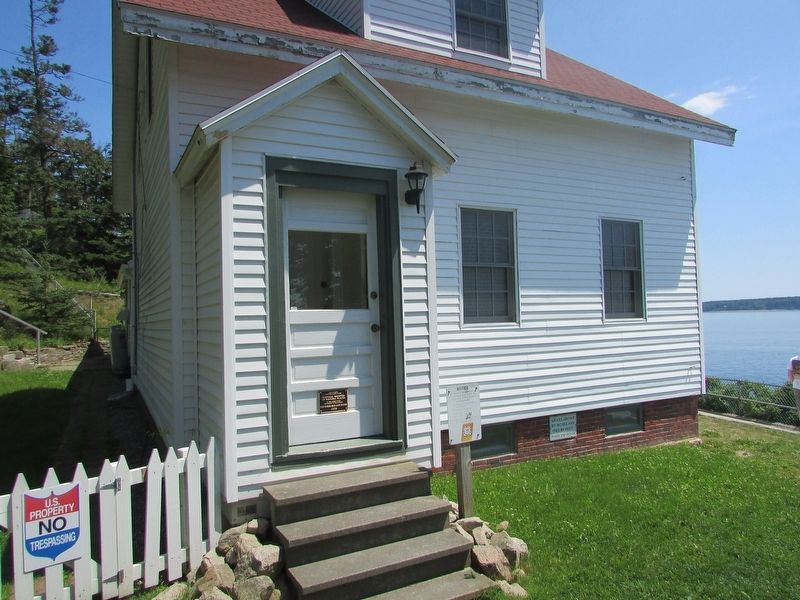
2. Bass Harbor Head Light Station Marker
Marker can be seen on the door of the lighthouse.
Photographed by Bill Coughlin, July 12, 2017
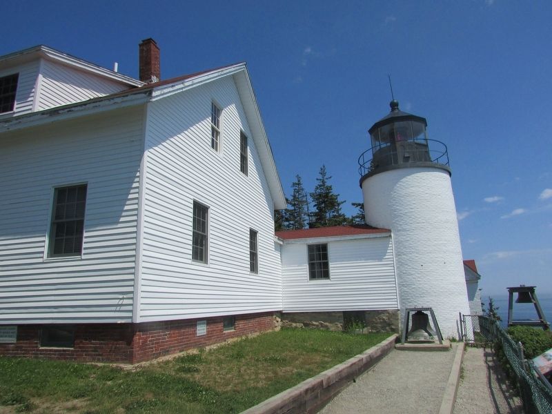
3. Bass Harbor Head Light Station
Photographed by Bill Coughlin, July 12, 2017
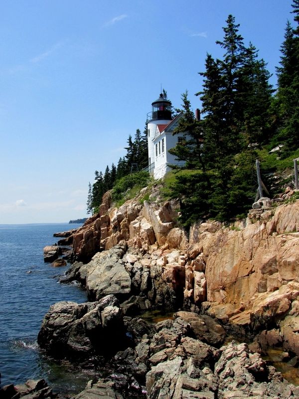
4. Bass Harbor Head Light Station
Credits. This page was last revised on September 23, 2020. It was originally submitted on July 12, 2017, by Bill Coughlin of Woodland Park, New Jersey. This page has been viewed 358 times since then and 24 times this year. Photos: 1, 2, 3, 4. submitted on July 12, 2017, by Bill Coughlin of Woodland Park, New Jersey.
