Warwick/Oregon / Warwick
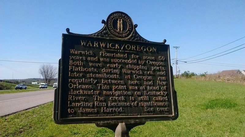
Warwick/Oregon
Warwick flourished for some 50 years and was succeeded by Oregon. Both were early shipping ports. Flatboats, during Warwick era, and later steamboats, at Oregon, ran regularly between here and New Orleans. This point was at head of slackwater navigation on Kentucky River. The creek is still called Landing Run because of significance to James Harrod.
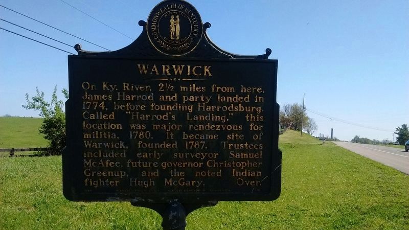
Warwick
On Ky. River, 2 1/2 miles from here, James Harrod and party landed in 1774, before founding Harrodsburg. Called "Harrod's Landing", this location was major rendezvous for militia, 1780. It became site of Warwick, founded 1787. Trustees included early surveyor Samuel McAfee, future governor Christopher Greenup, and the noted Indian fighter, Hugh McGary.
Erected 1984 by Kentucky Historical Society & Kentucky Department of Highways. (Marker Number 1751.)
Topics. This historical marker is listed in these topic lists: Colonial Era • Settlements & Settlers. A significant historical year for this entry is 1774.
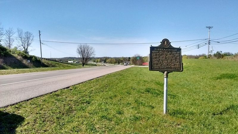
Location. 37° 54.445′ N, 84° 51.397′ W. Marker is in Salvisa, Kentucky, in Mercer County. Marker is at the intersection of Louisville Road (U.S. 127) and Oregon Road, on the right when traveling north on Louisville Road. Touch for map. Marker is in this post office area: Salvisa KY 40372, United States of America. Touch for directions.
Other nearby markers. At least
Credits. This page was last revised on July 15, 2017. It was originally submitted on July 13, 2017, by Tom Bosse of Jefferson City, Tennessee. This page has been viewed 402 times since then and 37 times this year. Photos: 1, 2, 3. submitted on July 13, 2017, by Tom Bosse of Jefferson City, Tennessee. • Bill Pfingsten was the editor who published this page.


