Crab Orchard in Lincoln County, Kentucky — The American South (East South Central)
A View from Sportsman’s Hill
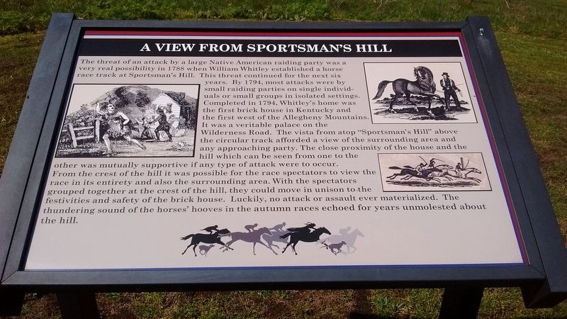
Photographed by Tom Bosse, April 12, 2017
1. A View from Sportsman’s Hill Marker
this page online
Topics and series. This historical marker is listed in these topic lists: Indigenous Peoples and Communities • Settlements & Settlers • Sports. In addition, it is included in the Kentucky, Sportman’s Hill series list. A significant historical year for this entry is 1788.
Location. 37° 28.159′ N, 84° 32.686′ W. Marker is in Crab Orchard, Kentucky, in Lincoln County. It can be reached from William Whitley Road. Touch for map. Marker is in this post office area: Crab Orchard KY 40419, United States of America. Touch for directions.

Regionally, this marker is in The Knobs. It is also in the American South, specifically in the Upper South, in Appalachia, and specifically in Southern Appalachia. Globally, it is in North America, the Western Hemisphere, the Western World, and the Anglosphere. Historically, it finds itself in what was once the territory of the Mississippian Culture and also the Antebellum South.
Other nearby markers. At least 8 other markers are within walking distance of this marker: Where Racing Turned Around (about 400 feet away,
Photographed by Tom Bosse
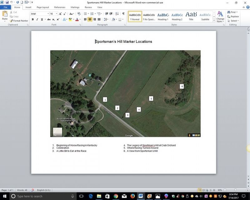
2. Sportsman’s Hill Marker Locations
Photographed by Tom Bosse, April 12, 2017
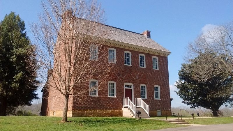
3. William Whitley House
Photographed by Tom Bosse
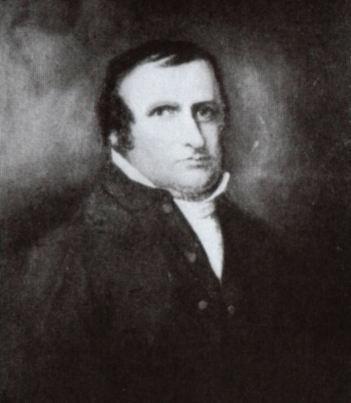
4. William Whitley
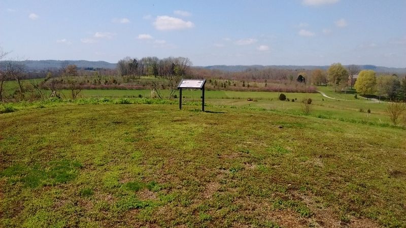
Photographed by Tom Bosse, April 12, 2017
5. A View from Sportsman’s Hill Marker
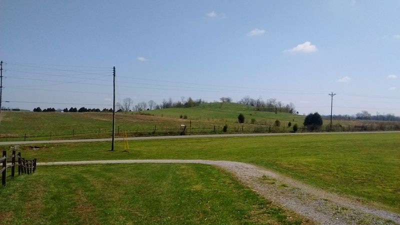
Photographed by Tom Bosse, April 12, 2017
6. Sportsman’s Hill
Credits. This page was last revised on July 15, 2017. It was originally submitted on July 14, 2017, by Tom Bosse of Jefferson City, Tennessee. This page has been viewed 594 times since then and 27 times this year. Photos: 1, 2, 3, 4, 5, 6. submitted on July 14, 2017, by Tom Bosse of Jefferson City, Tennessee. • Bill Pfingsten was the editor who published this page.
