Cobden in Renfrew County, Ontario — Central Canada (North America)
Champlain's Journey of 1613
Photographed by Kevin Craft, July 4, 2017
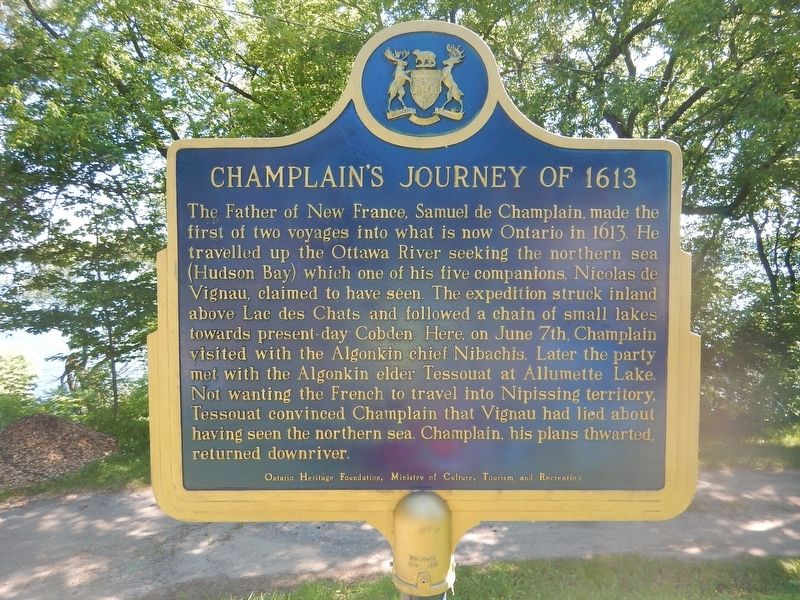
1. Champlain's Journey of 1613 Marker
The Father of New France, Samuel de Champlain, made the first of two voyages into what is now Ontario in 1613. He travelled up the Ottawa River seeking the northern sea (Hudson Bay) which one of his five companions, Nicolas de Vignau, claimed to have seen. The expedition struck inland above Lac des Chats and followed a chain of small lakes towards present-day Cobden. Here, on June 7th, Champlain visited with the Algonkin chief Nibachis. Later the party met with the Algonkin elder Tessouat at Allumette Lake. Not wanting the French to travel into Nipissing territory, Tessouat convinced Champlain that Vignau had lied about having seen the northern sea. Champlain, his plans thwarted, returned downriver.
Erected by Ontario Heritage Foundation.
Topics and series. This historical marker is listed in these topic lists: Exploration • Indigenous Peoples and Communities • Waterways & Vessels. In addition, it is included in the Canada, Ontario Heritage Trust series list. A significant historical date for this entry is June 7, 1613.
Location. 45° 37.755′ N, 76° 52.749′ W. Marker is in Cobden, Ontario, in Renfrew County. It can
this page online

Regionally, this marker is in the Haliburton Highlands to Ottawa Valley and in Eastern Ontario. It is also in Central Canada. Globally, it is in North America, the Western Hemisphere, the Western World, and the Anglosphere. Historically, it finds itself in what was once a British colony, the Viceroyalty of New France, the Haudenosaunee (Iroquois) Confederacy, and Rupert’s Land.
Other nearby markers. At least 8 other markers are within 24 kilometers of this marker, measured as the crow flies: Champlain's Astrolabe (approx. 4.3 kilometers away); War Memorial (approx. 23.1 kilometers away); The Founding of Renfrew (approx. 23.1 kilometers away); First Municipal Council Meeting (approx. 23.1 kilometers away); Renfrew Public Library (approx. 23.1 kilometers away); Renfrew Fire Station (approx. 23.1 kilometers away); The Book Tree
Photographed by Kevin Craft, July 4, 2017
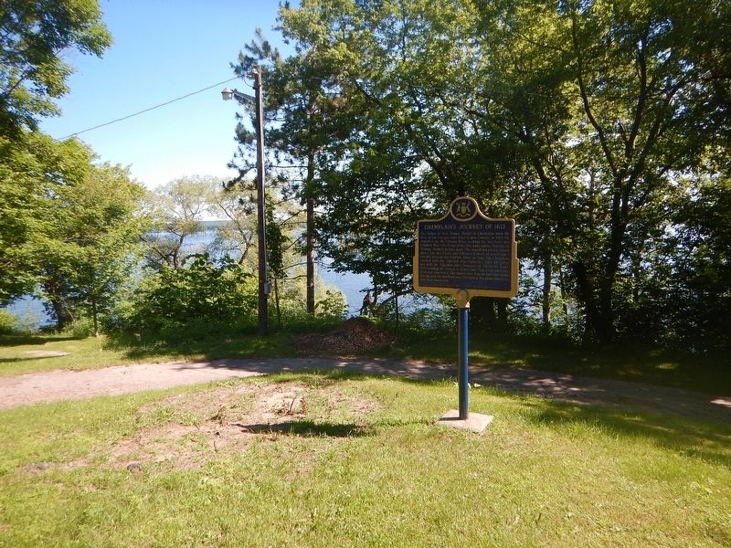
2. Wideview of Champlain's Journey of 1613 Marker
Also see . . . Wikipedia - Samuel de Champlain. (Submitted on July 15, 2017, by Kevin Craft of Bedford, Quebec.)
Credits. This page was last revised on July 15, 2017. It was originally submitted on July 15, 2017, by Kevin Craft of Bedford, Quebec. This page has been viewed 386 times since then and 42 times this year. Photos: 1, 2. submitted on July 15, 2017, by Kevin Craft of Bedford, Quebec.
