
Bar Harbor in Hancock County, Maine — The American Northeast (New England)
The French Connection
Acadia National Park
Photographed by Bill Coughlin, July 10, 2017
1. The French Connection Marker
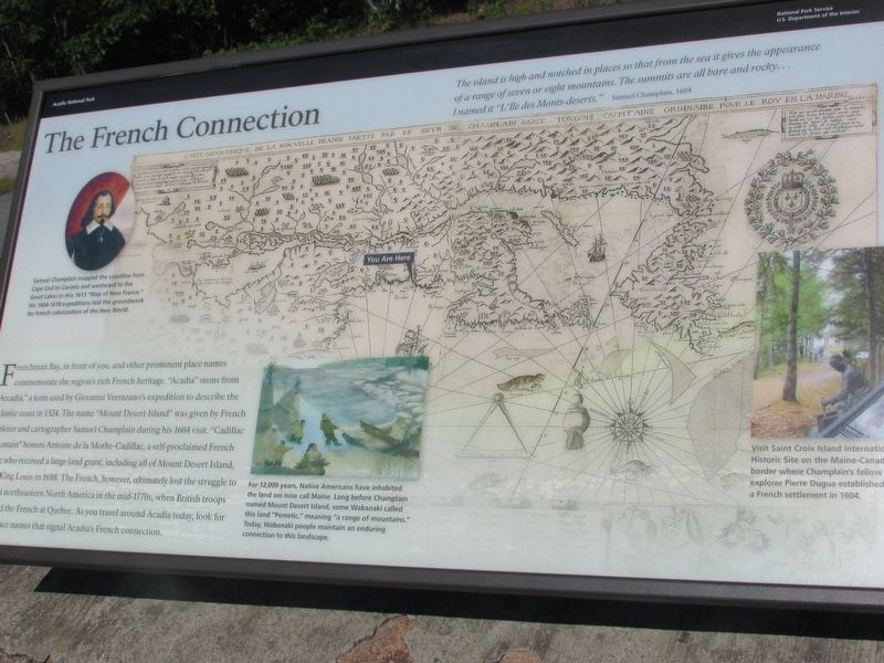
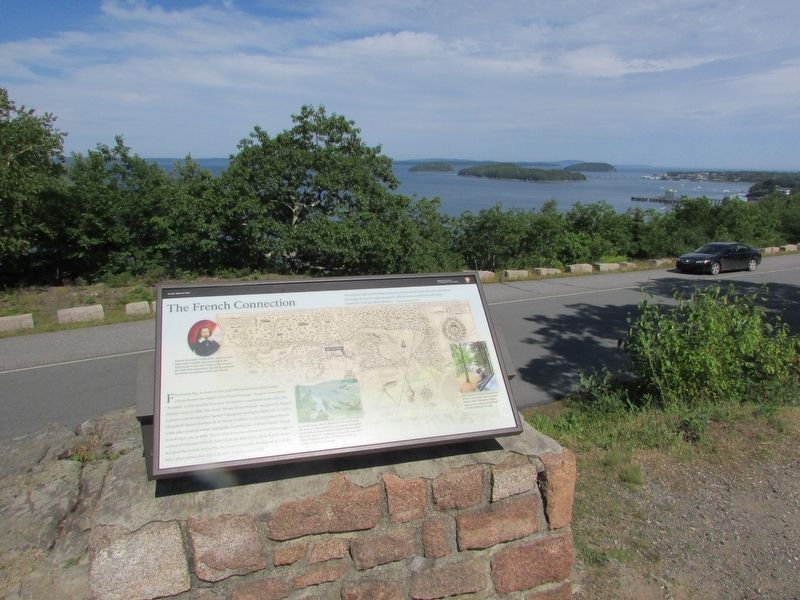
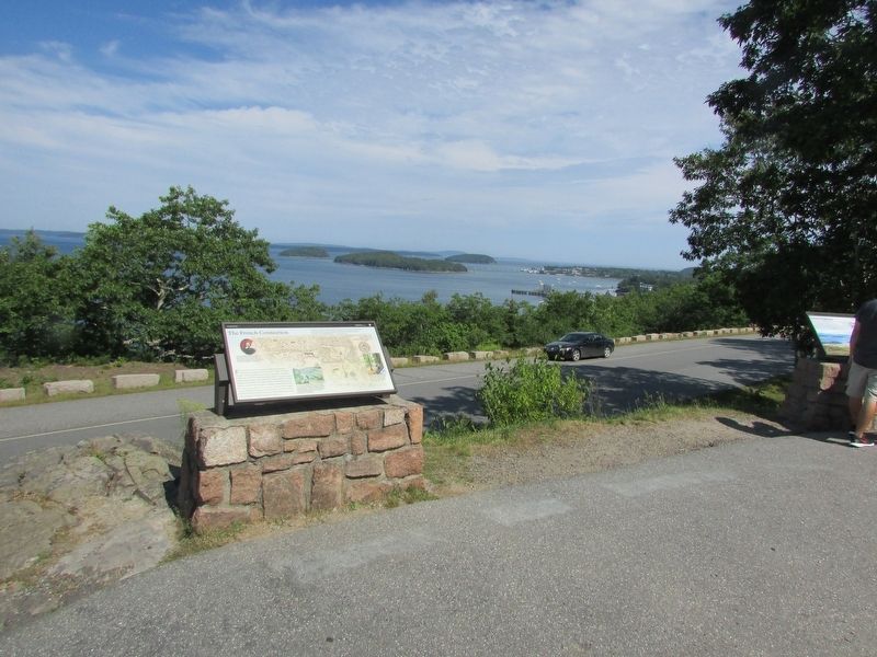
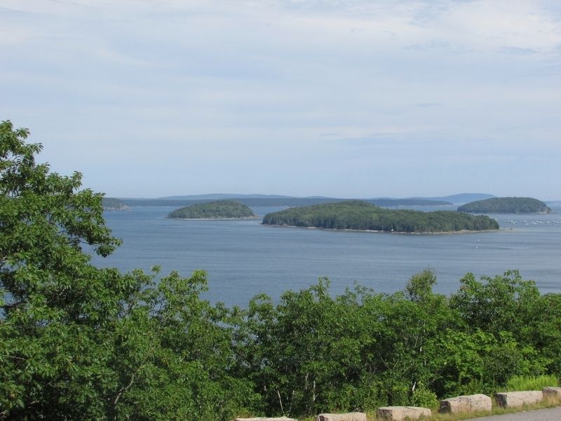
Frenchman Bay, in front of you, and other prominent names commemorate the region’s rich French heritage, “Acadia” stems from “Arcadia,” a term used by Giovanni Verrazano’s expedition to describe the Atlantic coast in 1524. The name “Mount Desert Island” was given by French explorer and cartographer Samuel Champlain during his 1604 visit. “Cadillac Mountain” honors Antoine de la Mothe-Cadillac, a self-proclaimed French noble who received a large land grant, including all of Mount Desert Island, from King Louis in 1688. The French, however, ultimately lost the struggle to control northeastern North America in the mid-1770s, when British troops defeated the French at Quebec. As you travel around Acadia today, look for other place names that signal Acadia’s French connection.
Samuel Champlain mapped the coastline from Cape Cod to Canada and westward to the Great Lakes in the 1613 “Map of New France.” His 1604-1618 expeditions laid the groundwork for French colonization of the New World.
“The island is high and notched in places so that from the sea it gives the appearance of a range of seven or eight mountains. The summits are all bare and rocky . . . I named it “L’ Ile des Monts-deserts.” Samuel Champlain, 1604
For
this page online
Erected by National Park Service.
Topics and series. This historical marker is listed in these topic lists: Exploration • Indigenous Peoples and Communities. In addition, it is included in the Acadian History series list.
Location. 44° 24.323′ N, 68° 14.221′ W. Marker is in Bar Harbor, Maine, in Hancock County. It is on Paradise Hill Road, on the left when traveling south. Marker is located in Acadia National Park. Touch for map. Marker is in this post office area: Bar Harbor ME 04609, United States of America. Touch for directions.

Regionally, this marker is on Mount Desert Island and in Downeast Maine. It is also in the American Northeast, in New England, and on the Eastern Seaboard. Globally, it is in the North Atlantic Region, North America, the Great North Woods, the Western
Photographed by Bill Coughlin, July 10, 2017
2. The French Connection Marker
Other nearby markers. At least 8 other markers are within 2 miles of this marker, measured as the crow flies: Ocean Highways (a few steps from this marker); Frenchman Bay (a few steps from this marker); Signs of the Seasons (approx. 0.6 miles away); The 1947 Fire (approx. 1½ miles away); DeGregoire Green (approx. 1½ miles away); The Great Fire / Le Grand Incendie (approx. 1½ miles away); La Rochelle (approx. 1.6 miles away); Bar Island Path (approx. 1.6 miles away). Touch for a list and map of all markers in Bar Harbor.
More about this marker. A portrait of Samuel Champlain appears on the left side of the marker, next to a large illustration of his “Map of New France.” The bottom of the marker features a picture of Webanaki Indians working on the island.
A photo at the lower right of the marker contains a caption of “Visit Saint Croix Island International Historic Site on the Maine-Canada border where Champlain’s fellow explorer Pierre Dugua established a French
Photographed by Bill Coughlin, July 10, 2017
3. Marker in Acadia National Park
Photographed by Bill Coughlin, July 10, 2017
4. Frenchman Bay
View of the bay from the marker.
Credits. This page was last revised on July 16, 2017. It was originally submitted on July 16, 2017, by Bill Coughlin of Woodland Park, New Jersey. This page has been viewed 903 times since then and 33 times this year. Photos: 1, 2, 3, 4. submitted on July 16, 2017, by Bill Coughlin of Woodland Park, New Jersey.
