Mattawa in Nipissing District, Ontario — Central Canada (North America)
Canoe Route to the West
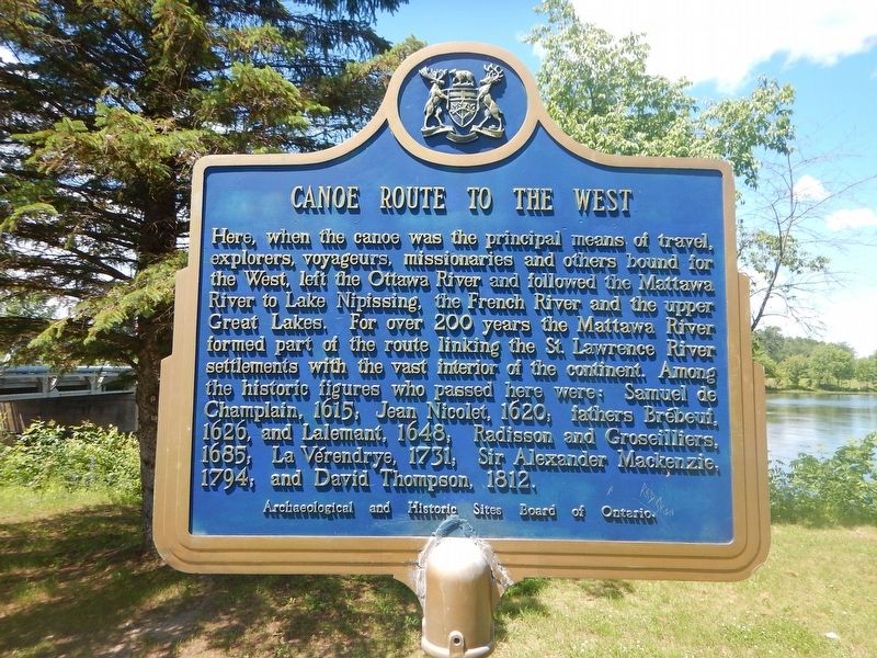
Photographed by Kevin Craft, July 4, 2017
1. Canoe Route to the West Marker
Here, when the canoe was the principal means of travel, explorers, voyageurs, missionaries and others bound for the West, left the Ottawa River and followed the Mattawa River to Lake Nipissing, the French River and the upper Great Lakes. For over 200 years the Mattawa River formed part of the route linking the St. Lawrence River settlements with the vast interior of the continent. Among the historic figures who passed here were: Samuel de Champlain, 1615; Jean Nicolet, 1620; fathers Brébeuf, 1626, and Lalemant, 1648; Radisson and Groseilliers, 1685; La Vérendrye, 1731; Sir Alexander Mackenzie, 1794; and David Thompson, 1812.
Erected by Archaeological and Historic Sites Board of Ontario.
Topics and series. This historical marker is listed in these topic lists: Exploration • Settlements & Settlers • Waterways & Vessels. In addition, it is included in the Canada, Ontario Heritage Trust series list. A significant historical year for this entry is 1615.
Location. 46° 19.126′ N, 78° 42.391′ W. Marker is in Mattawa, Ontario, in Nipissing District. It is at the intersection of Water Street and Main Street (County Highway
this page online

Regionally, this marker is in Northeastern Ontario and specifically in Northern Ontario. It is also in Central Canada. Globally, it is in North America, the Great North Woods, the Western Hemisphere, the Western World, and the Anglosphere. Historically, it finds itself in what was once a British colony, the Viceroyalty of New France, the Haudenosaunee (Iroquois) Confederacy, and Rupert’s Land.
Other nearby markers. At least 3 other markers are within walking distance of this marker: The Mattawa Route (within shouting distance of this marker); French-Canadian Settlement and the CPR in the Mattawa area (about 210 meters away, measured in a direct line); Mattawa House 1837 (about 240 meters away).
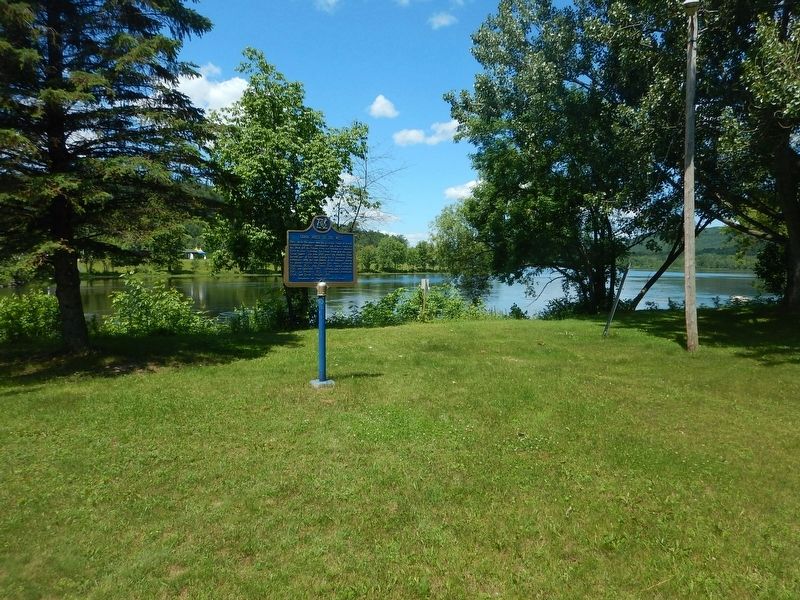
Photographed by Kevin Craft, July 4, 2017
2. Wideview of Canoe Route to the West Marker
Credits. This page was last revised on July 16, 2017. It was originally submitted on July 16, 2017, by Kevin Craft of Bedford, Quebec. This page has been viewed 291 times since then and 19 times this year. Photos: 1, 2. submitted on July 16, 2017, by Kevin Craft of Bedford, Quebec.
