Hanover in Chautauqua County, New York — The American Northeast (Mid-Atlantic)
The Lincoln Maple
Photographed by Anton Schwarzmueller, July 15, 2017
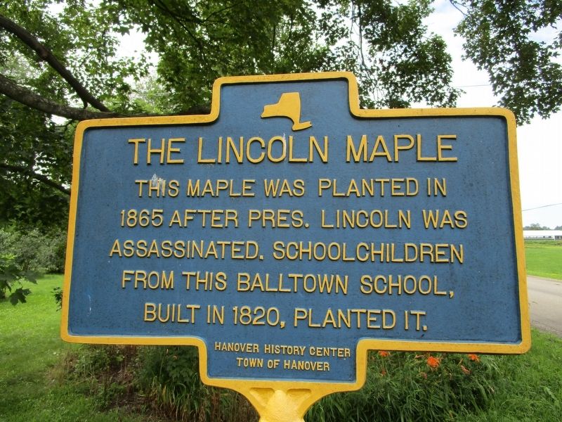
1. The Lincoln Maple Marker
This maple was planted in
1865 after Pres. Lincoln was
assassinated. Schoolchildren
from this Balltown school,
built in 1820, planted it.
Erected by Hanover History Center, Town of Hanover.
Topics and series. This historical marker is listed in these topic lists: Education • Horticulture & Forestry • War, US Civil. In addition, it is included in the Historic Trees series list. A significant historical year for this entry is 1865.
Location. 42° 29.463′ N, 79° 4.619′ W. Marker is in Hanover, New York, in Chautauqua County. It is on Allegany Road 0.1 miles north of Mackinaw Road, on the right when traveling south. Marker is in the hamlet of Balltown, which does not seem to be labeled on most maps. Touch for map. Marker is in this post office area: Forestville NY 14062, United States of America. Touch for directions.

Regionally, this marker is in Upstate New York, specifically in Western New York, and in the Southern Tier. It is also in the American Northeast, in the Mid-Atlantic, in Appalachia, and specifically in Northern Appalachia. Globally, it is in North America, on the Great Lakes,
this page online
Other nearby markers. At least 8 other markers are within 6 miles of this marker, measured as the crow flies: Birthplace of Mary Smith Lockwood (approx. 1.6 miles away); The King from Hanover (approx. 3.7 miles away); Town of Perrysburg (approx. 4.6 miles away); George F. Abbott (approx. 5.3 miles away); Dr. Eleanor E. Burnside (approx. 5.3 miles away); Everett R. Burmaster (approx. 5.4 miles away); Amos Sottle (approx. 5.4 miles away); American Revolution (approx. 5.7 miles away). Touch for a list and map of all markers in Hanover.
Photographed by Anton Schwarzmueller, July 15, 2017
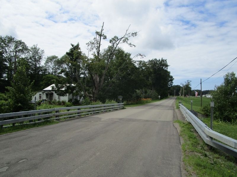
2. The Lincoln Maple Marker
Marker at center, on northwest side of Allegany Road Bridge over Silver Creek.
Photographed by Anton Schwarzmueller, July 15, 2017
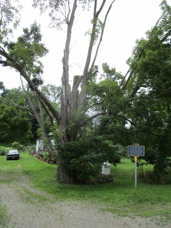
3. The Lincoln Maple & Marker
Photographed by Anton Schwarzmueller, July 15, 2017
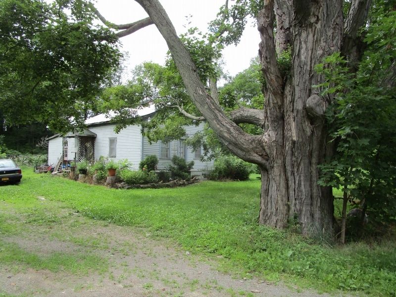
4. The Lincoln Maple & Balltown Schoolhouse
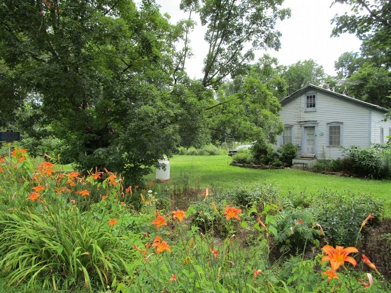
Photographed by Anton Schwarzmueller, July 15, 2017
5. The Lincoln Maple & Balltown Schoolhouse
Credits. This page was last revised on September 2, 2020. It was originally submitted on July 16, 2017, by Anton Schwarzmueller of Wilson, New York. This page has been viewed 791 times since then and 32 times this year. Photos: 1, 2, 3, 4, 5. submitted on July 16, 2017, by Anton Schwarzmueller of Wilson, New York.
