Southwest Harbor in Hancock County, Maine — The American Northeast (New England)
Natural Seawall
Photographed by Bill Coughlin, July 12, 2017
1. Natural Seawall Marker
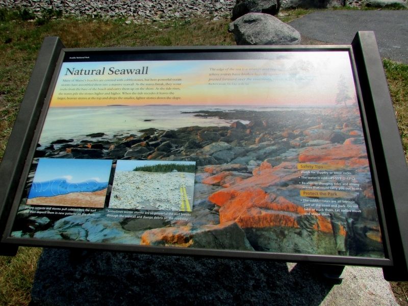
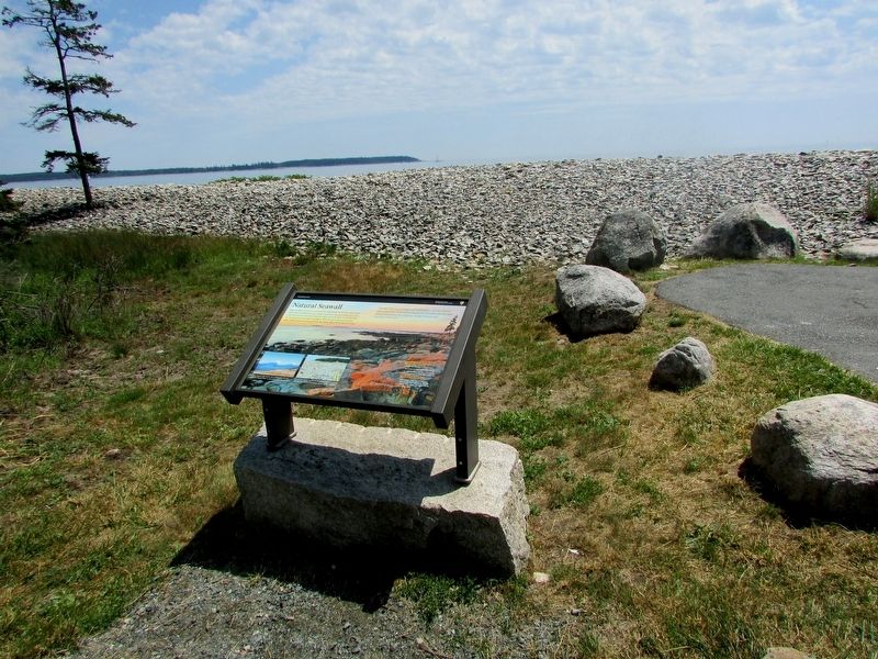
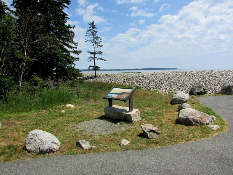
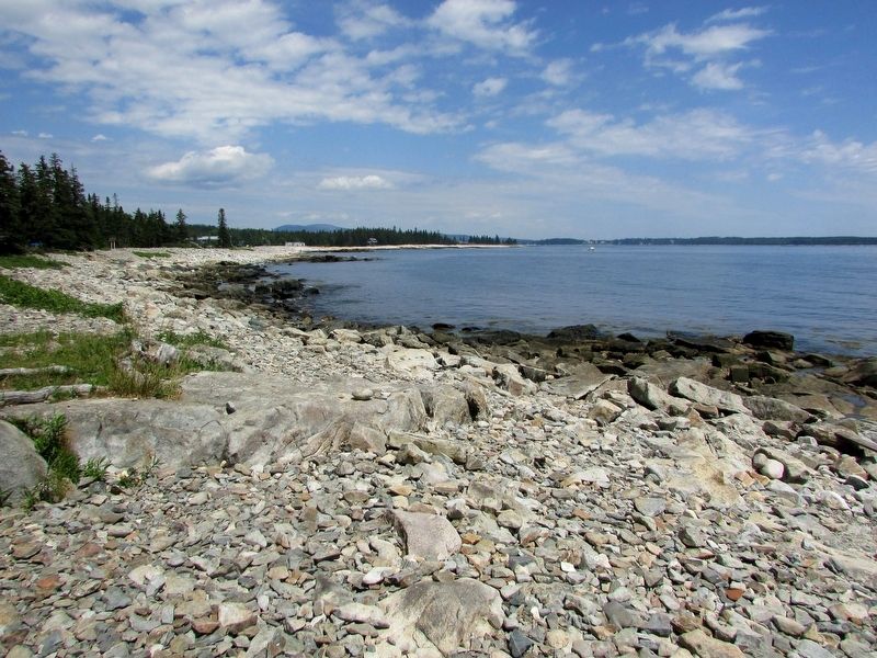
Many of Maine’s beaches are covered with cobblestones, but here powerful ocean storms have assembled them into a massive seawall. As the waves break, they scour rocks from the base of the beach and carry them up on the shore. As the tide rises, the waves pile the stones higher and higher. When the tide recedes it leaves the larger, heavier stones at the top and drops the smaller, lighter stones down the slope.
“The edge of the sea is a strange and beautiful place, an area of unrest where waves have broken heavily against the land, where the tides have pressed forward over the continents, receded, then returned.”
Rachel Carson,
Erected by National Park Service.
Topics. This historical marker is listed in this topic list: Natural Features.
Location. 44° 14.328′ N, 68° 18.088′ W. Marker is in Southwest Harbor, Maine, in Hancock County. It can be reached from Seawall Road (Maine Route 102A), on the left when traveling south. Marker is located near the water in the Seawall picnic area. Touch for map. Marker is in this post office area:
this page online

Regionally, this marker is on Mount Desert Island and in Downeast Maine. It is also in the American Northeast, in New England, and on the Eastern Seaboard. Globally, it is in the North Atlantic Region, North America, the Great North Woods, the Western Hemisphere, the Western World, and the Anglosphere. Historically, it finds itself in what was once the Viceroyalty of New France and also Acadia.
Other nearby markers. At least 8 other markers are within 5 miles of this marker, measured as the crow flies: Bass Harbor Head Light (approx. 2.1 miles away); a different marker also named Bass Harbor Head Light (approx. 2.1 miles away); A Steadfast Light (approx. 2.1 miles away); Bass Harbor Head Light Station (approx. 2.1 miles away); Mariners Beware! (approx. 2.1 miles away); Joseph T. Musetti Jr. Veterans Memorial Park (approx. 3.9 miles away); Carroll Homestead (approx. 4.6 miles away); A Village Legacy (approx. 5 miles away).
More about this marker. The background of the marker contains a photograph of the ocean seawall. An illustration at the bottom
Photographed by Bill Coughlin, July 12, 2017
2. Natural Seawall Marker
Next to this is a photograph of a road littered with rocks, and has a caption of “Sometimes winter storms are so powerful the surf breaks through the seawall and dumps debris on the roadway.”
Photographed by Bill Coughlin, July 12, 2017
3. Marker in the Seawall Picnic Area
Photographed by Bill Coughlin, July 12, 2017
4. Natural Seawall on Mount Desert Island
Credits. This page was last revised on July 16, 2017. It was originally submitted on July 16, 2017, by Bill Coughlin of Woodland Park, New Jersey. This page has been viewed 436 times since then and 20 times this year. Photos: 1, 2, 3, 4. submitted on July 16, 2017, by Bill Coughlin of Woodland Park, New Jersey.
